

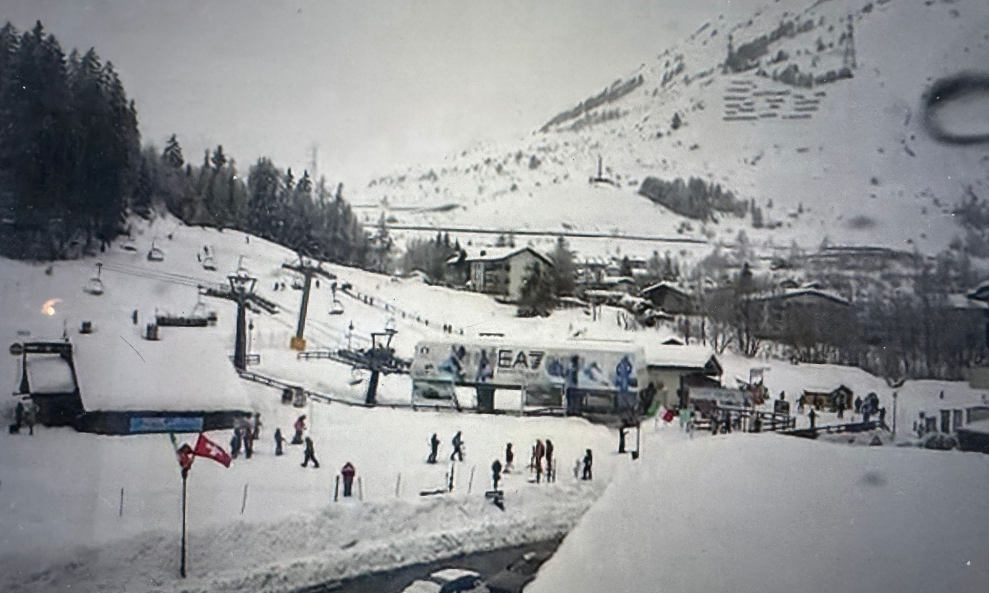
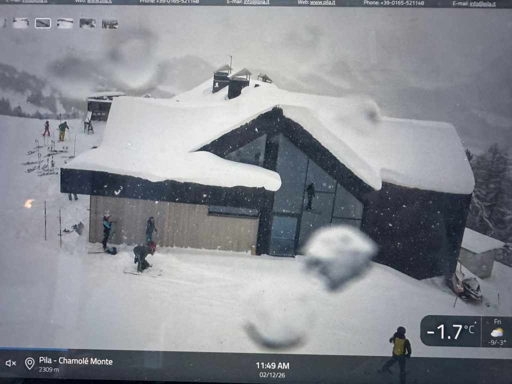
In just 48 hours, parts of western Valle d’Aosta were transformed into a deep mid-winter landscape, with storm totals reaching a full metre near Courmayeur.
A powerful western snowstorm delivered exceptional snowfall across the Mont Blanc sector between 10–11 February 2026, rapidly loading the snowpack across western Valle d’Aosta.
🔴 Avalanche Danger Level 4 (High) Issued – 12 February 2026
Authorities in Valle d’Aosta have issued a Level 4 – High avalanche danger for Thursday 12 February 2026.
According to Fondazione Montagna Sicura and the regional bulletin published in coordination with AINEVA, conditions are considered critical in many sectors, particularly along:
The French border
The Swiss border
Mont Blanc and western valleys
Affected areas include:
Cervinia, Valtournenche, Valsavarenche, Val di Rhêmes, Val Veny, Valgrisenche, Morgex–La Salle, Val Ferret, La Thuile, Gran San Bernardo (Ollomont), and parts of Valpelline.
What Level 4 Means
Level 4 (“High”) indicates:
Natural avalanches are likely
Large avalanches possible
Triggering is very likely on many steep slopes
Critical situation in specific sectors
This level is rare and should be treated seriously.
Similar elevated avalanche conditions have been reported across parts of the French Alps near the border, according to Météo-France.
This storm follows a period of unstable snow conditions across parts of the Alps — see our latest Alpine winter conditions & avalanche updates for wider regional context.
Continue reading “100 cm in 48 Hours: Courmayeur Buried as Avalanche Danger Rises to Level 4”
 Subscribe to The-Ski-Guru here.
You must be logged in to post a comment.