Swiss Glacier Instability Near Blatten Highlights Growing Alpine Risk

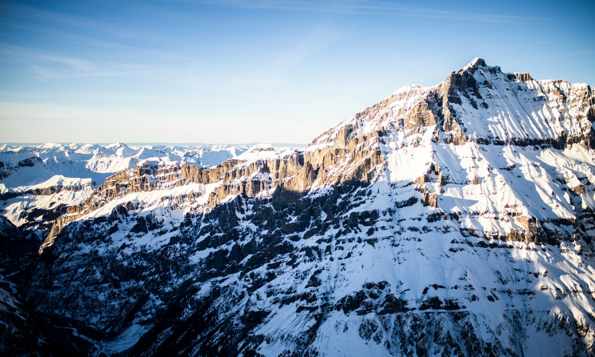
Lauchernalp. Lötschental, Valais, Switzerland. Photo: Caspar Camille Rubin. Unsplash.

Nearly a year after the catastrophic collapse that destroyed much of the Swiss village of Blatten, authorities are again monitoring instability in the same high-mountain area above the Lötschental valley. The renewed concerns are a reminder that the risks linked to glacier retreat, thawing permafrost, and unstable rock faces in the Alps are not disappearing after a single event — and may instead become a longer-term operational challenge for mountain communities, infrastructure, transport routes, and tourism regions. 

Swiss authorities confirmed this week that parts of the glacier and surrounding mountain terrain near Blatten continue to show signs of instability, while access to the disaster zone remains dangerous because of ongoing rockfall and debris movement. The original collapse on 28 May 2025 saw millions of cubic metres of rock, ice, and mud surge down the mountain in less than a minute, destroying most of the village after a successful evacuation of around 300 residents. One person died in the disaster. Continue reading “Swiss Glacier Instability Near Blatten Highlights Growing Alpine Risk”
Atlantic Current Slowdown: Why Future Alpine Winters Could Mean Bigger Snowfalls—and Greater Avalanche Risk

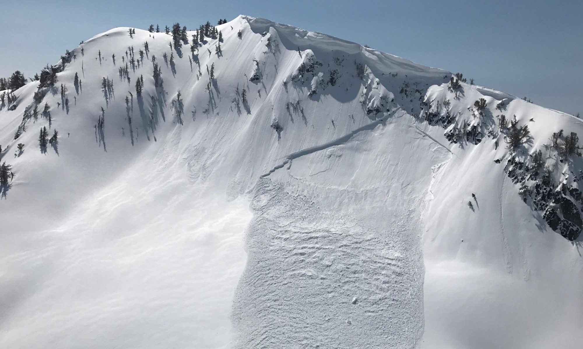
Windslab Avalanche. Avalanche.org.

A new climate study suggesting that the Atlantic current could weaken by as much as 50% by the end of the century is not just an abstract ocean story — it could directly reshape Atlantic current Alps winter patterns

For skiers, mountain professionals and anyone tracking snow conditions, the implications are not straightforward. This is not a simple case of “more snow” or “less snow”. Instead, it points toward something far more complex: winters that are increasingly volatile, with sharper contrasts, heavier snowfall events, and a higher likelihood of instability.

Continue reading “Atlantic Current Slowdown: Why Future Alpine Winters Could Mean Bigger Snowfalls—and Greater Avalanche Risk”

Wind Slabs Trigger Multiple Avalanches Across the French Alps After Storm Cycle

A wind slab- photo: Avalanche.org. Why Wind Is One of the Most Dangerous Avalanche Triggers.

A series of avalanche incidents reported on 26 March 2026 across the French Alps, particularly in Haute Tarentaise, Maurienne and Vanoise, point to a renewed phase of instability driven by strong winds, very cold temperatures, and fresh snow accumulation.

According to field observations and local reporting including Le Dauphiné Libéré, current conditions are favouring the formation of wind slabs (plaques à vent) — one of the most dangerous and unpredictable avalanche problems in the Alps.

These types of conditions are typically reflected within the
👉 European avalanche danger scale (Levels 1–5 explained)
https://www.the-ski-guru.com/2026/03/14/european-avalanche-danger-scale-levels/


PIDA Operations in Tignes: Wind Slabs Forming Under Extreme Conditions

In Tignes (Col de la Leisse, above the Génépi piste), avalanche control teams carried out manual PIDA operations as activity resumed under severe weather conditions.

Continue reading “Wind Slabs Trigger Multiple Avalanches Across the French Alps After Storm Cycle”

Four Killed in Northern B.C. Avalanches After “Considerable” Warning

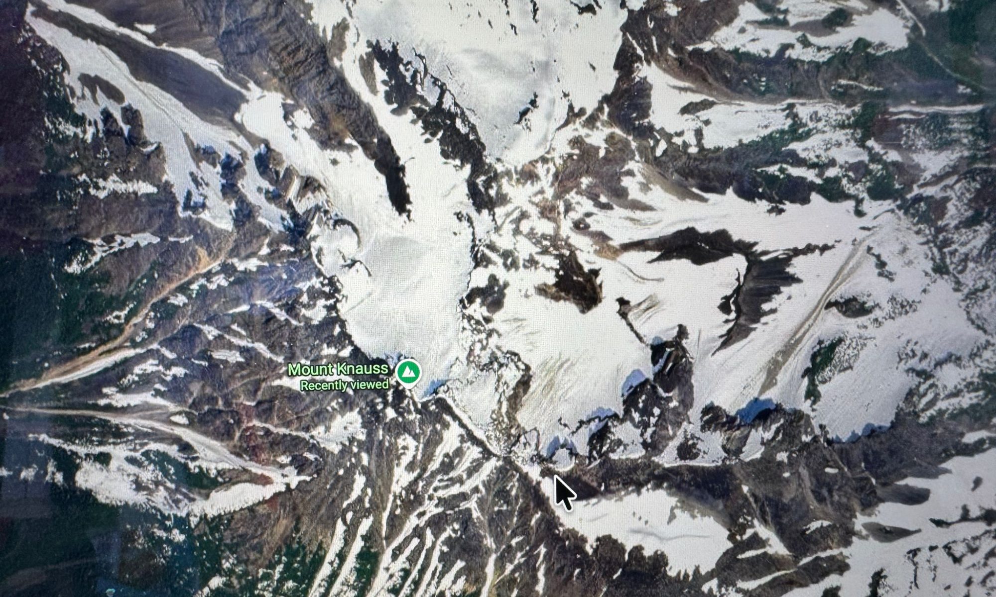
Mount Knauss. Google Maps.

Four people have died in two separate avalanche incidents in northern British Columbia, Canada, according to Avalanche Canada forecasts and local reporting. The accidents occurred on Sunday, March 22, in remote backcountry terrain near Terrace and close to the Alaska border, highlighting persistent snowpack instability despite non-extreme danger ratings.

👉 This pattern mirrors what has been seen across the Alps this winter, where many fatal accidents have also occurred at Level 3.


Continue reading “Four Killed in Northern B.C. Avalanches After “Considerable” Warning”

Understanding the European Avalanche Danger Scale: Levels 1–5 Explained

Windslab avalanche. Photo: Colorado Avalanche Information Center. Why Wind Is One of the Most Dangerous Avalanche Triggers.

Avalanche danger in the Alps is reported using the European Avalanche Danger Scale, a five-level system used by national avalanche forecasting services across countries including France, Italy, Switzerland, Austria and Germany.

The scale helps skiers, mountaineers and backcountry travellers understand how stable or unstable the snowpack is and how likely avalanches are to occur.

It is important to understand that the scale does not simply measure the size of avalanches. Instead, it reflects a combination of factors including snowpack stability, the likelihood of triggering avalanches and the expected distribution of unstable slopes.

Understanding these levels is essential for anyone travelling in avalanche terrain, whether skiing off-piste, touring, snowshoeing or mountaineering.

Continue reading “Understanding the European Avalanche Danger Scale: Levels 1–5 Explained”

Up to 1 Meter of Snow Forecast in Aosta Valley as Major March Storm Hits the Alps

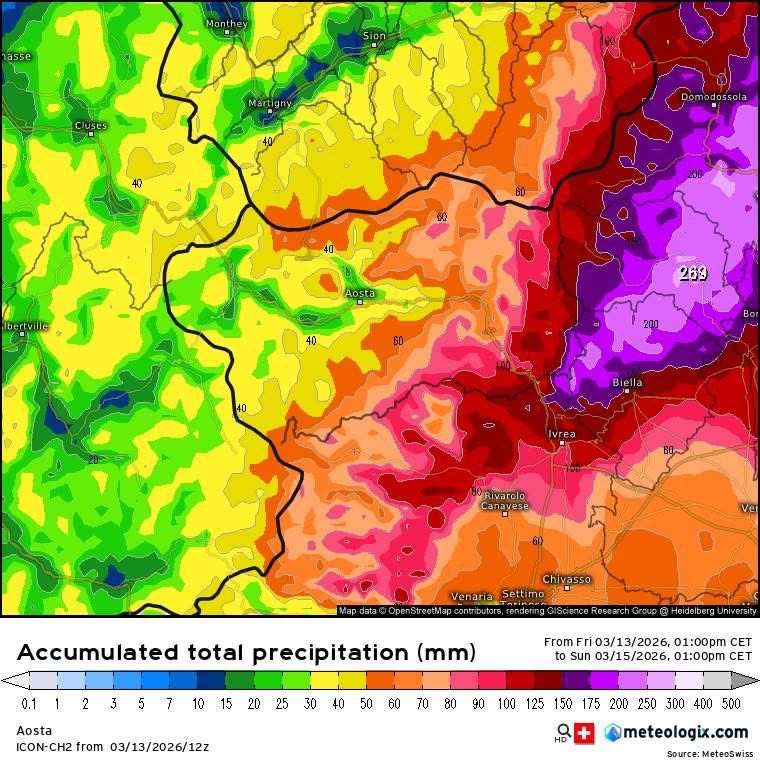
Totally acumulated snow 13-15 April. Meteo Valle d'Aosta.

A major late-season winter storm is expected to bring significant snowfall across Italy’s Aosta Valley this weekend, with forecasts indicating up to 80–100 cm of new snow in the eastern valleys, including areas around Cervinia and Monterosa Ski.

After nearly two weeks of mild conditions across the Alps, the return of winter weather could bring rapidly changing mountain conditions and elevated avalanche risk across parts of the region.

Meteorologists expect precipitation to begin early Saturday morning, first affecting the Cervino (Matterhorn) and Monte Rosa valleys before spreading across the rest of the region during the day.

These intense snowfall events are increasingly linked to extreme weather in the Alps, where rapid shifts between storms and warming phases are becoming more common.

Comparable instability has also led to fatal incidents elsewhere, including multiple avalanche deaths in northern British Columbia following recent snowfall cycles.

Continue reading “Up to 1 Meter of Snow Forecast in Aosta Valley as Major March Storm Hits the Alps”

Snow Conditions in a Warming Alpine Climate

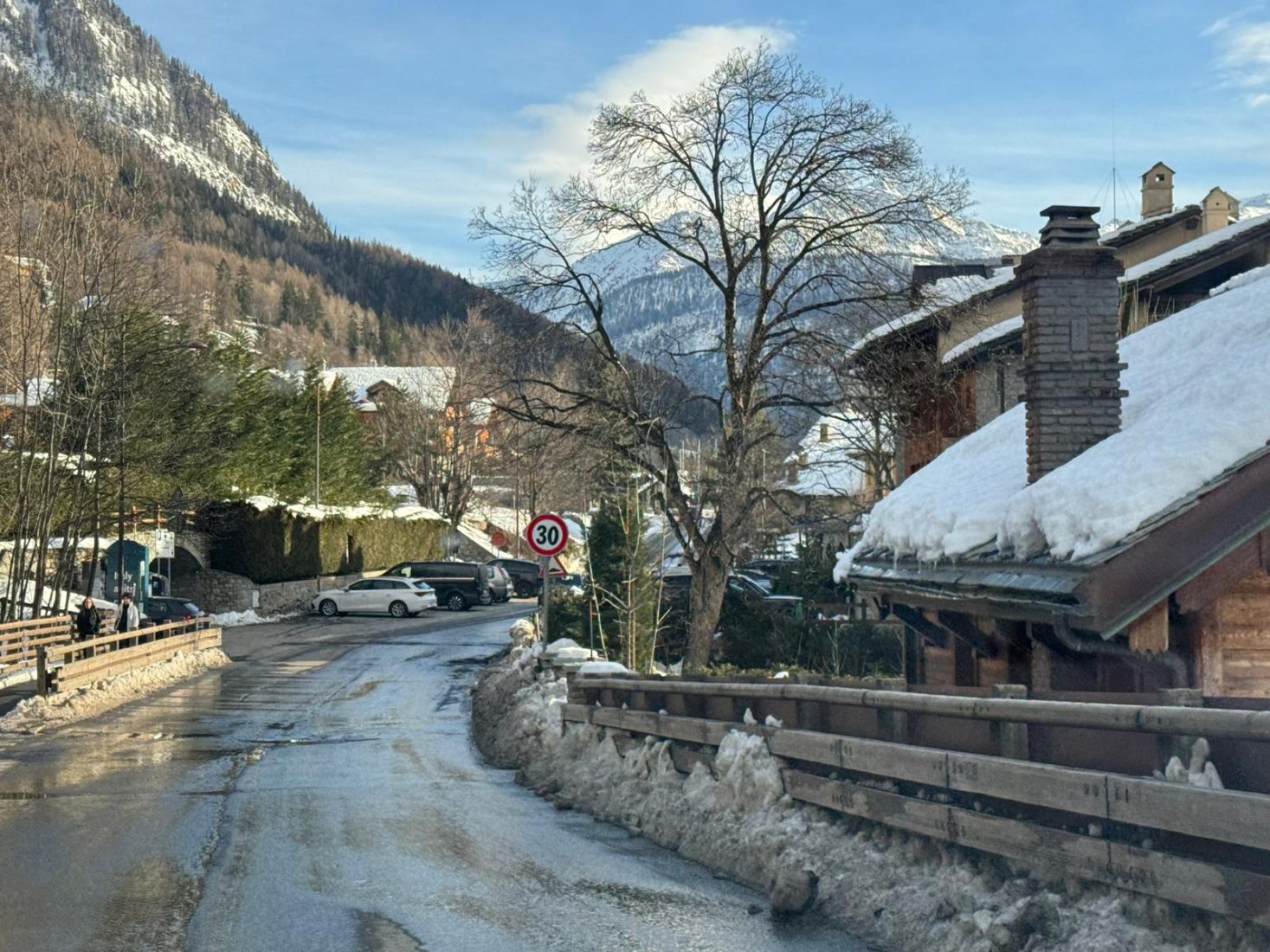
Winter in the Mountains- Photo: The-Ski-Guru. Morgex.

What the 2026 Winter Season Is Showing

A Winter of Extremes

Snow conditions in a warming Alpine climate are becoming more variable, more intense and more dependent on artificial support.

Across the Alps, long-term climate warming is reshaping snowfall patterns, snowline altitude, avalanche behaviour and the economics of winter tourism. The 2026 winter season provides a recent example of these broader trends.

In recent weeks alone, the region has experienced:

  • Intense multi-day storm cycles delivering 80–100 cm in short periods
  • Rapid wind loading and unstable snowpack development
  • Elevated avalanche danger levels across multiple massifs
  • Simultaneous reliance on artificial snow at lower altitudes

Rather than a simple story of “less snow,” the pattern emerging is one of greater variability and concentration. This growing instability is not confined to the Alps. Recent extreme heat events shortening the ski season in North America show how quickly conditions can deteriorate, even in traditionally more snow-reliable regions.


Heavier Storms, Faster Loading

Several recent cycles across the Western Alps demonstrated how quickly snowpack instability can build.

Large accumulations over 24–48 hours — combined with wind transport — created fragile layers and widespread avalanche danger. In many regions, danger levels rose to Level 4 (Strong), and in parts of the French Alps even Level 5 (Very Strong).

Continue reading “Snow Conditions in a Warming Alpine Climate”

Meteo Valle d’Aosta: Heavy Snowfall and Strong Winds Forecast Through Tuesday

Courmayeur today in the afternoon, before the next snowstorm cycle. 15 Feb 26. Photo: The-Ski-Guru.

Snowfall intensifying across western sectors

The latest Valle d’Aosta snow forecast indicates heavy snowfall across the western sectors, with accumulations expected to continue through Tuesday morning.

According to Meteo Valle d’Aosta, abundant snowfall is expected along the Alpine border ridges, accompanied by strong north-westerly winds. The system is forecast to persist through the morning of Tuesday, February 17, with significant accumulations expected above 1500–1700 metres.

Continue reading “Meteo Valle d’Aosta: Heavy Snowfall and Strong Winds Forecast Through Tuesday”

100 cm in 48 Hours: Courmayeur Buried as Avalanche Danger Rises to Level 4

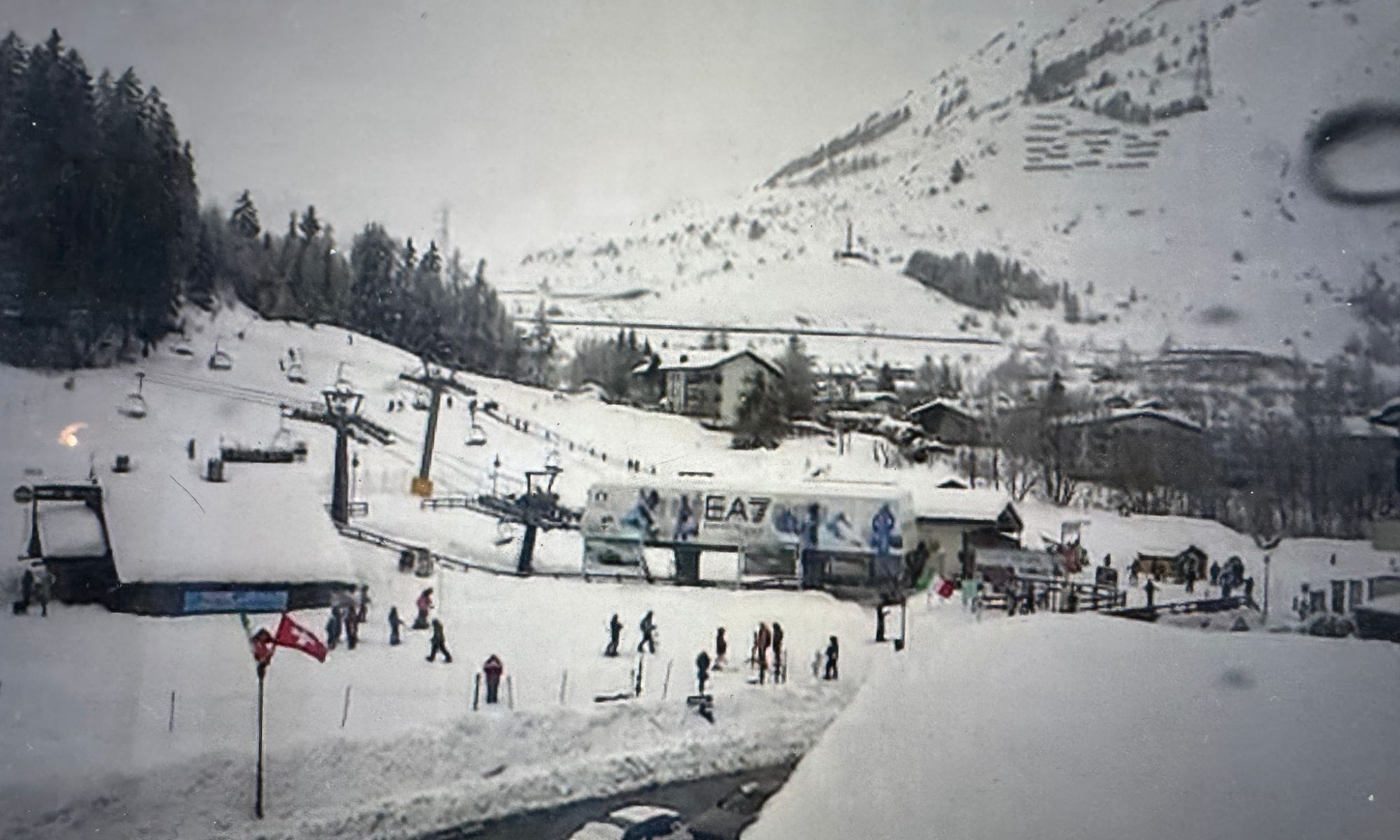
Base area La Thuile 12 FEB 26. Webcam La Thuile.

In just 48 hours, parts of western Valle d’Aosta were transformed into a deep mid-winter landscape, with storm totals reaching a full metre near Courmayeur.

A powerful western snowstorm delivered exceptional snowfall across the Mont Blanc sector between 10–11 February 2026, rapidly loading the snowpack across western Valle d’Aosta.

🔴 Avalanche Danger Level 4 (High) Issued – 12 February 2026

Authorities in Valle d’Aosta have issued a Level 4 – High avalanche danger for Thursday 12 February 2026.

According to Fondazione Montagna Sicura and the regional bulletin published in coordination with AINEVA, conditions are considered critical in many sectors, particularly along:

  • The French border

  • The Swiss border

  • Mont Blanc and western valleys

Affected areas include:

Cervinia, Valtournenche, Valsavarenche, Val di Rhêmes, Val Veny, Valgrisenche, Morgex–La Salle, Val Ferret, La Thuile, Gran San Bernardo (Ollomont), and parts of Valpelline.

What Level 4 Means

Level 4 (“High”) indicates:

  • Natural avalanches are likely

  • Large avalanches possible

  • Triggering is very likely on many steep slopes

  • Critical situation in specific sectors

This level is rare and should be treated seriously.

Similar elevated avalanche conditions have been reported across parts of the French Alps near the border, according to Météo-France.

This storm follows a period of unstable snow conditions across parts of the Alps — see our latest Alpine winter conditions & avalanche updates for wider regional context.


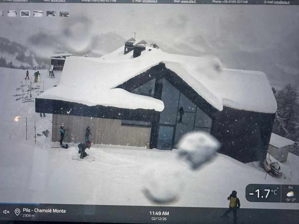
Top of Chamolé chair in Pila. 12 FEB 26. Photo: Webcam Pila.it

Continue reading “100 cm in 48 Hours: Courmayeur Buried as Avalanche Danger Rises to Level 4”

Snowfall Update: Heavy Snow Continues Across the Alps and Valle d’Aosta

Photo: Dan Ottr. Unsplash. Snowfall Update: Heavy Snow Continues Across the Alps and Valle d’Aosta.

Following yesterday’s alert about severe winter conditions and difficult mountain travel, updated forecasts confirm that snowfall is continuing across large parts of the Alps, with further significant accumulations expected over the next 24–72 hours.

Meteorological services in France and Italy indicate repeated snow events, falling snow lines at times, and conditions that will remain challenging for travel and mountain activities — particularly at higher elevations.

This post provides a regional update, based on the latest forecasts from alpine and local meteorological sources.

Continue reading “Snowfall Update: Heavy Snow Continues Across the Alps and Valle d’Aosta”