

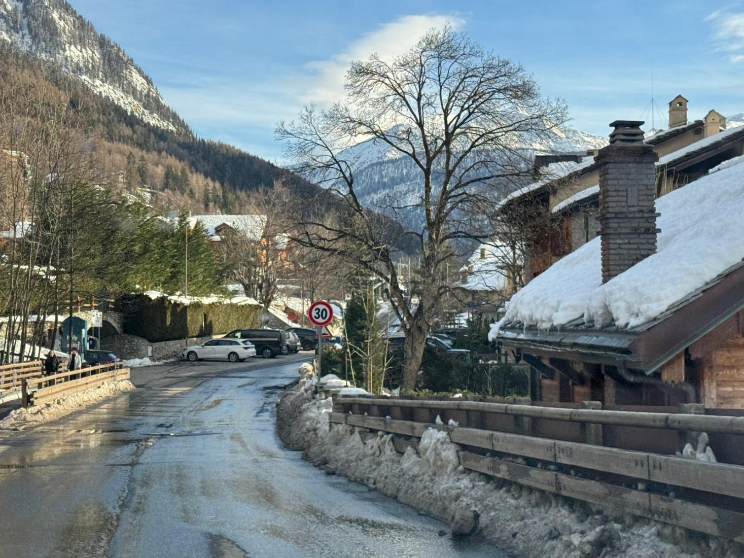
Snowfall intensifying across western sectors
The latest Valle d’Aosta snow forecast indicates heavy snowfall across the western sectors, with accumulations expected to continue through Tuesday morning.
According to Meteo Valle d’Aosta, abundant snowfall is expected along the Alpine border ridges, accompanied by strong north-westerly winds. The system is forecast to persist through the morning of Tuesday, February 17, with significant accumulations expected above 1500–1700 metres.
❄ Expected Snow Accumulations (until Tuesday morning)
80–100 cm
- Valgrisenche
- Rutor / La Thuile sector
- Val Ferret & Val Veny (Courmayeur area)
- Gran San Bernardo Valley
50–70 cm
- Ollomont
- Valpelline
- Upper Valtournenche (Cervinia area)
20–40 cm
- Rhêmes Valley
- Valsavarenche
- Pila
- Mid-Valtournenche (Valtournenche village, Chamois, Torgnon)
- Mid to high Ayas Valley (from Antagnod/Champoluc northwards)
- Upper Gressoney Valley (from La-Trinité northwards)
- La Thuile and Courmayeur villages
Forecast source: Meteo Valle d’Aosta.
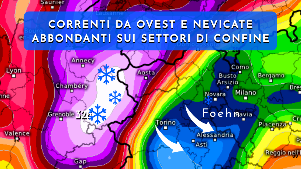
🌬 Strong North-West Winds
In addition to heavy snowfall, strong north-westerly winds are expected, particularly along exposed ridgelines and high alpine terrain.
Wind transport of fresh snow may significantly increase snow loading on leeward slopes.
⚠️ Avalanche Risk Likely to Increase
Given recent avalanche incidents across the Alps — including the fatal avalanche in Val Veny near Courmayeur — significant new snowfall combined with strong winds may contribute to rising avalanche danger at higher elevations.
Backcountry and off-piste skiers should:
- Check the official regional avalanche bulletin before departure
- Carry appropriate safety equipment (transceiver, probe, shovel)
- Avoid steep wind-loaded slopes during and immediately after the storm
Travelers and mountain users are advised to monitor official updates from regional authorities.
🚗 Possible Travel Impacts
Heavy snowfall and wind may also affect:
- Mountain road conditions in upper valleys
- Tunnel access (Gran San Bernardo sector)
- Ski lift operations in exposed areas
- Chain requirements on valley roads
Allow additional travel time and check local updates before departure.
Related Coverage
- Courmayeur Avalanche in Val Veny (Feb 15, 2026)
- Val d’Isère Avalanche – Level 5 Warning
- Avalanche Awareness: What Every Skier Needs to Know
 Planning your next trip to the Italian Alps?
 Planning your next trip to the Italian Alps?
If you’re heading to the Aosta Valley, take a look at Il Cuore della Valdigne, our family-owned apartment in Morgex, available for rent when we’re not using it ourselves.
It’s an ideal base to:
- Ski in Courmayeur, La Thuile and Pila
- Enjoy the mountains in summer (hiking, biking, nature)
- Explore the Mont Blanc valley in a quieter, more authentic setting
 Ski in Courmayeur,
 Enjoy the mountains in summer (hiking, biking, nature)
Check my Mountain Art on my Shop
You can go to my shop and see what have been inspiring me lately, lots mountain landscapes in soft pastels, and now in oils too. Go here to check my latest works!

Featured Image: Courmayeur today in the afternoon, before the next snowstorm cycle. 15 Feb 26. Photo: The-Ski-Guru.


Discover more from The-Ski-Guru
Subscribe to get the latest posts sent to your email.
 Subscribe to The-Ski-Guru here.
You must be logged in to post a comment.