Alps and Pyrenees Snow Forecast: Fresh Snow and Falling Snow Levels

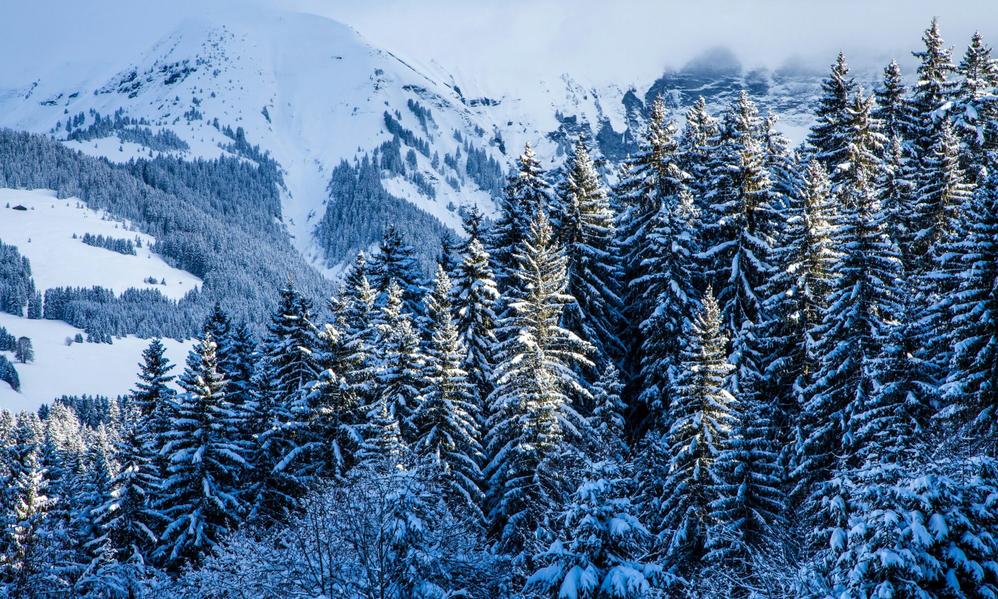
Snowy Megève. Photo credit: Mario la Pergola- Unsplash.

20 October 2026

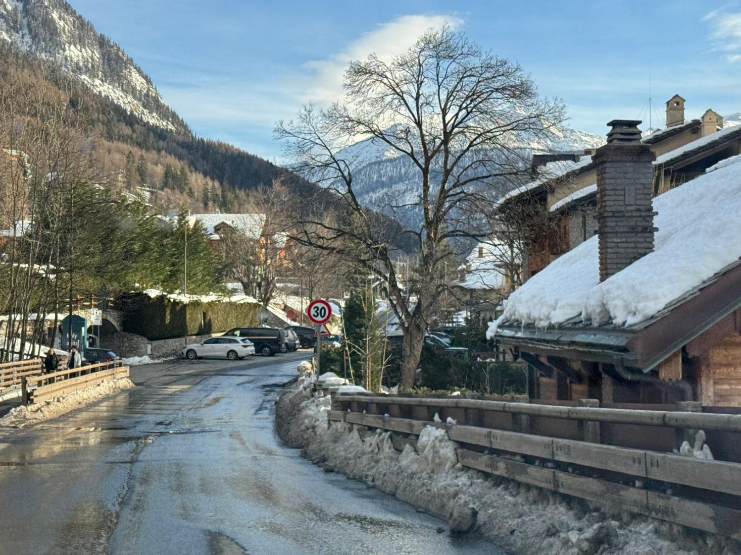
Fresh snow is forecast for parts of the Alps this week, but elevation and timing will make a considerable difference. Official forecasts for several Italian Alpine regions show snow initially confined to higher slopes, followed by falling snow levels as colder air arrives.

In some areas, the colder conditions will reach the mountains as precipitation begins to ease. That means a lower snowline will not necessarily bring substantial accumulations to lower slopes.

The Catalan Pyrenees also have snow in the forecast, with AEMET predicting a falling snowline on Wednesday.

Continue reading “Alps and Pyrenees Snow Forecast: Fresh Snow and Falling Snow Levels”
Historic El Niño Could Shape the 2026/27 Ski Season Worldwide

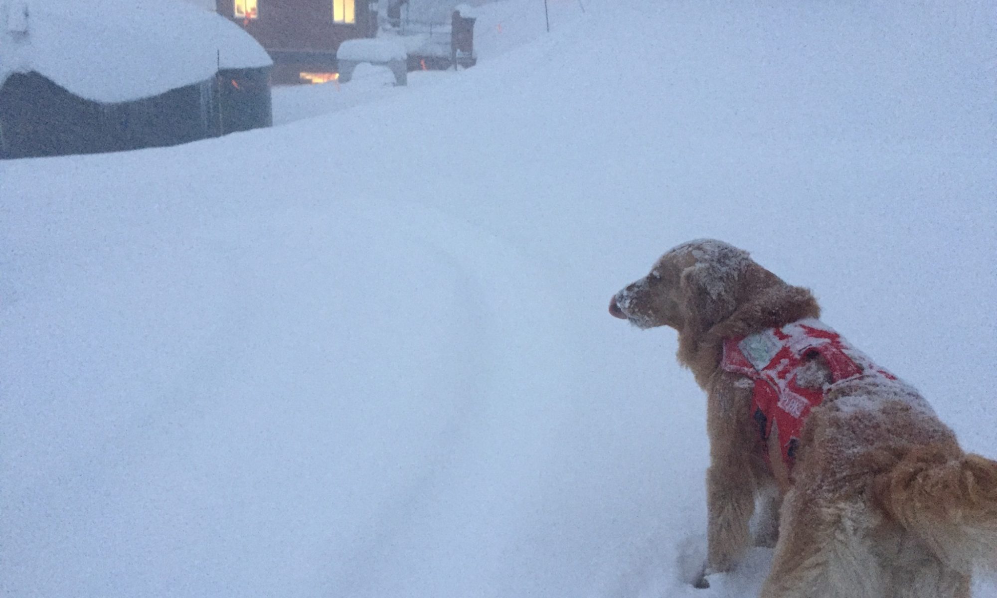
A patrol dog is waiting to go to work in Heavenly. Photo: Elisabeth Biebl. Heavenly Mountain Resort

A strengthening El Niño in the Pacific could become one of the most powerful on record, potentially influencing weather patterns across some of the world’s major ski regions during the 2026/27 Northern Hemisphere winter.

The latest outlook from the US National Oceanic and Atmospheric Administration (NOAA), released on 13 August, says El Niño is strengthening and now has a greater than 90% chance of becoming a very strong event during the Northern Hemisphere autumn and winter of 2026/27.

Even more strikingly, NOAA estimates a 69% chance that El Niño could reach historic strength during October-December 2026, based on the Relative Oceanic Niño Index (RONI).

For skiers, however, there is an important caveat: a historic El Niño does not automatically mean a historic snow season.

Its influence varies considerably between North America, Europe, Japan and the Southern Hemisphere, while individual storms, temperatures and regional atmospheric patterns will ultimately determine how much snow actually falls.

Continue reading “Historic El Niño Could Shape the 2026/27 Ski Season Worldwide”

Meteo Valle d’Aosta: Heavy Snowfall and Strong Winds Forecast Through Tuesday

Courmayeur today in the afternoon, before the next snowstorm cycle. 15 Feb 26. Photo: The-Ski-Guru.

Snowfall intensifying across western sectors

The latest Valle d’Aosta snow forecast indicates heavy snowfall across the western sectors, with accumulations expected to continue through Tuesday morning.

According to Meteo Valle d’Aosta, abundant snowfall is expected along the Alpine border ridges, accompanied by strong north-westerly winds. The system is forecast to persist through the morning of Tuesday, February 17, with significant accumulations expected above 1500–1700 metres.

Continue reading “Meteo Valle d’Aosta: Heavy Snowfall and Strong Winds Forecast Through Tuesday”

South America Long Range Forecast by SnowForecast

South America Long Range Forecast by SnowForecast.com. Photo Las Leñas ski resort.

South America Long Range Forecast by SnowForecast

SOUTH AMERICA Long Range Weather Outlook
Meteorologist Christopher Manly from SnowForecast.com sends us this report.

After some heavy snowfalls from the current and expected low pressure system this past Wednesday and Thursday (June 26 – 27)

SnowForecast.com Screenshot of 25 June 2019. South America Long Range Forecast by SnowForecast.com.

This weekend ending 30 June, we expect a couple of weaker low pressure systems to move through, with snow showers for all resort areas north to Santiago, heavier just south of Santiago including Cerro Bayo Resort in Argentina, as a couple of low pressure systems move through.

Continue reading “South America Long Range Forecast by SnowForecast”