

Record-Breaking El Niño Is Here — What Could It Mean for Europe’s 2026/27 Ski Winter?

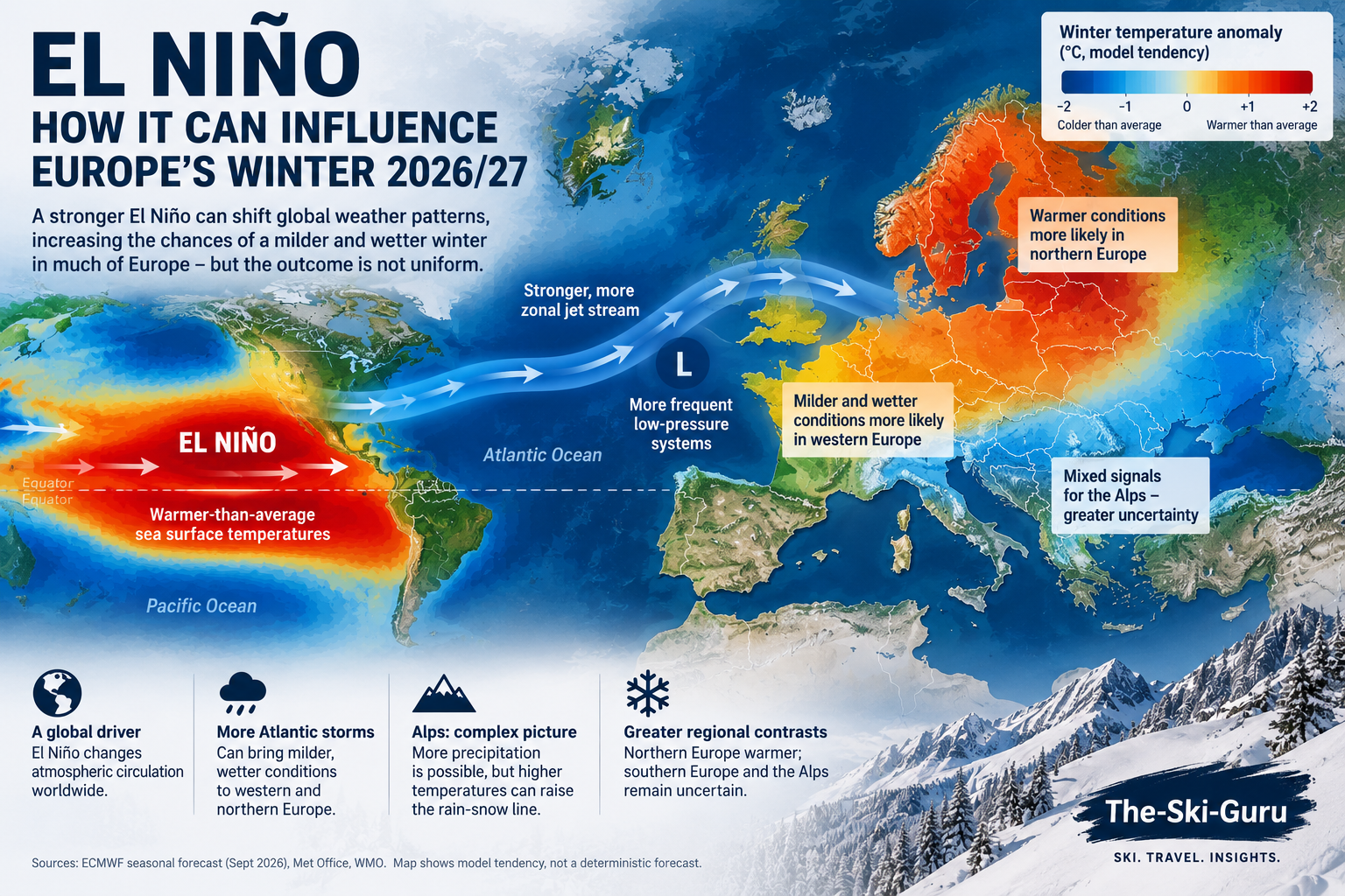
Illustration of how El Niño can influence European winter weather patterns. The impact on the Alps remains complex, with temperature, precipitation and storm tracks determining whether moisture falls as rain or snow. AI-generated illustration created for The-Ski-Guru. Not an official meteorological forecast map.

El Niño could influence Europe’s winter 2026/27. A record-breaking El Niño is building towards its winter peak, but despite dramatic headlines, it does not automatically mean a snowy — or snowless — winter for the Alps. Here is what the official forecasts actually tell us.

El Niño has officially entered record territory. When we first looked at what El Niño could mean for the 2026/27 ski season in August, the event was still developing. Since then, the signal has strengthened considerably.

On 22 September, the UK Met Office confirmed that sea-surface temperatures in the central equatorial Pacific have now surpassed those recorded during previous El Niño events, making the developing 2026 event the strongest in the observational record.

It is an extraordinary climate signal — and one arriving just as the Northern Hemisphere ski industry prepares for winter 2026/27.

But does a record El Niño mean a record ski season?

Not necessarily.

For Europe in particular, the relationship between El Niño and Alpine snowfall is considerably more complicated than some of the increasingly dramatic seasonal forecasts circulating online might suggest. Continue reading “Record-Breaking El Niño Is Here — What Could It Mean for Europe’s 2026/27 Ski Winter?”
Historic El Niño Could Shape the 2026/27 Ski Season Worldwide

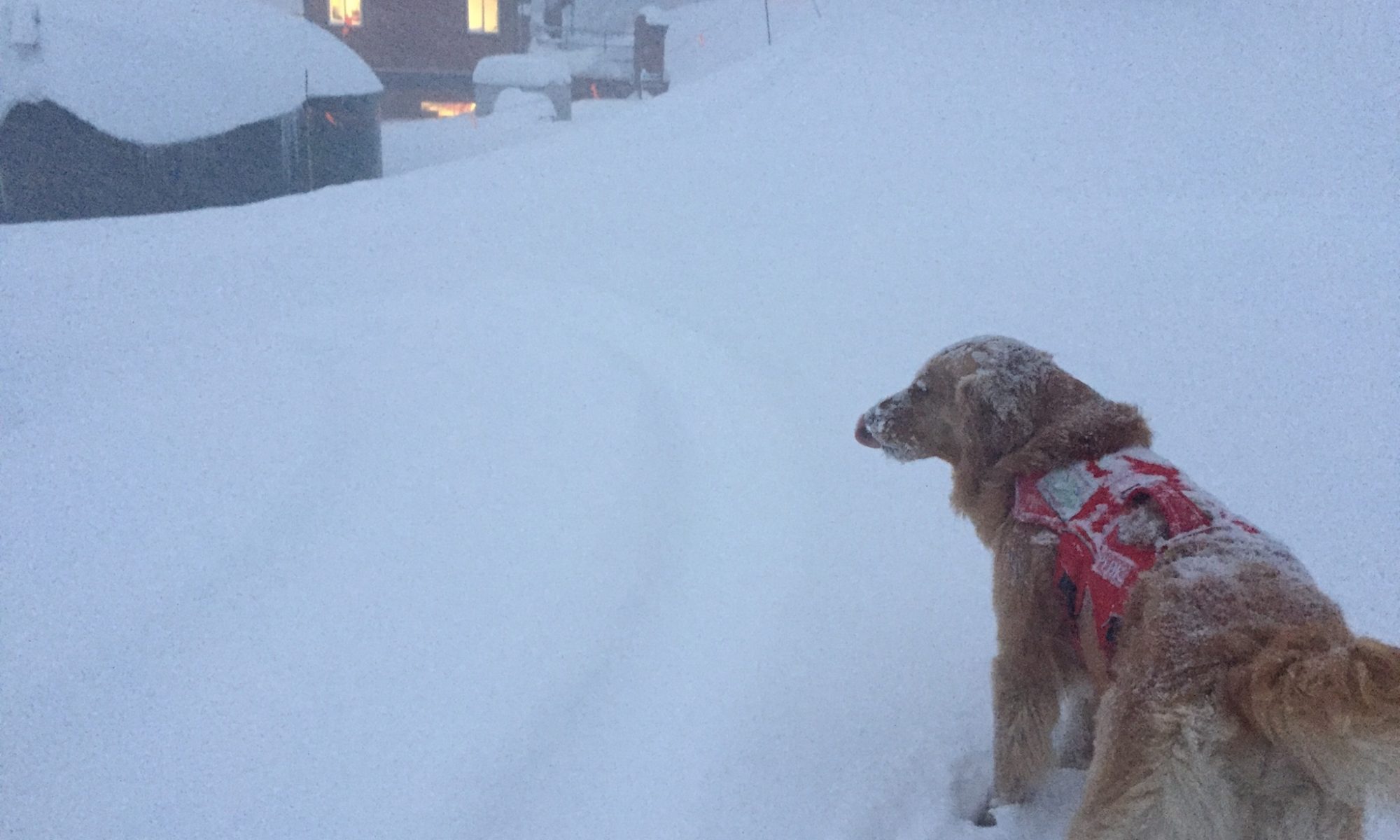
A patrol dog is waiting to go to work in Heavenly. Photo: Elisabeth Biebl. Heavenly Mountain Resort

A strengthening El Niño in the Pacific could become one of the most powerful on record, potentially influencing weather patterns across some of the world’s major ski regions during the 2026/27 Northern Hemisphere winter.

The latest outlook from the US National Oceanic and Atmospheric Administration (NOAA), released on 13 August, says El Niño is strengthening and now has a greater than 90% chance of becoming a very strong event during the Northern Hemisphere autumn and winter of 2026/27.

Even more strikingly, NOAA estimates a 69% chance that El Niño could reach historic strength during October-December 2026, based on the Relative Oceanic Niño Index (RONI).

For skiers, however, there is an important caveat: a historic El Niño does not automatically mean a historic snow season.

Its influence varies considerably between North America, Europe, Japan and the Southern Hemisphere, while individual storms, temperatures and regional atmospheric patterns will ultimately determine how much snow actually falls.

Continue reading “Historic El Niño Could Shape the 2026/27 Ski Season Worldwide”

❄️ Alpine Weather: Cold and Snowier Patterns Moving In

Map showing the next storm coming into the Alps. Copyright: OpenSnow. ❄️ Alpine Weather: Cold and Snowier Patterns Moving In.

🔥 Colder Temperatures & Increasing Snowfall

Alps Snow Forecast & North American Winter Storm Update – Jan 2026

After a period of cold but relatively dry conditions, the weather in the Alps is about to shift. Snow forecasts over the next few days are much stronger than earlier this week:

  • Up to 50–70 cm of snow is forecast above ~1500 m across the northern and western Alps — including parts of the French Alps (e.g., 3 Valleys, Portes du Soleil) and western Swiss Alps (Verbier, Valais) by Sunday. weathertoski.co.uk
  • More widespread accumulations of 25–50 cm are expected over much of the northwestern Alpine chain. weathertoski.co.uk
  • A stronger snowstorm continues to track for the northern Alps, with models even suggesting local 2 m+ totals at very high elevations if moisture and cold align. OpenSnow

Continue reading “❄️ Alpine Weather: Cold and Snowier Patterns Moving In”