

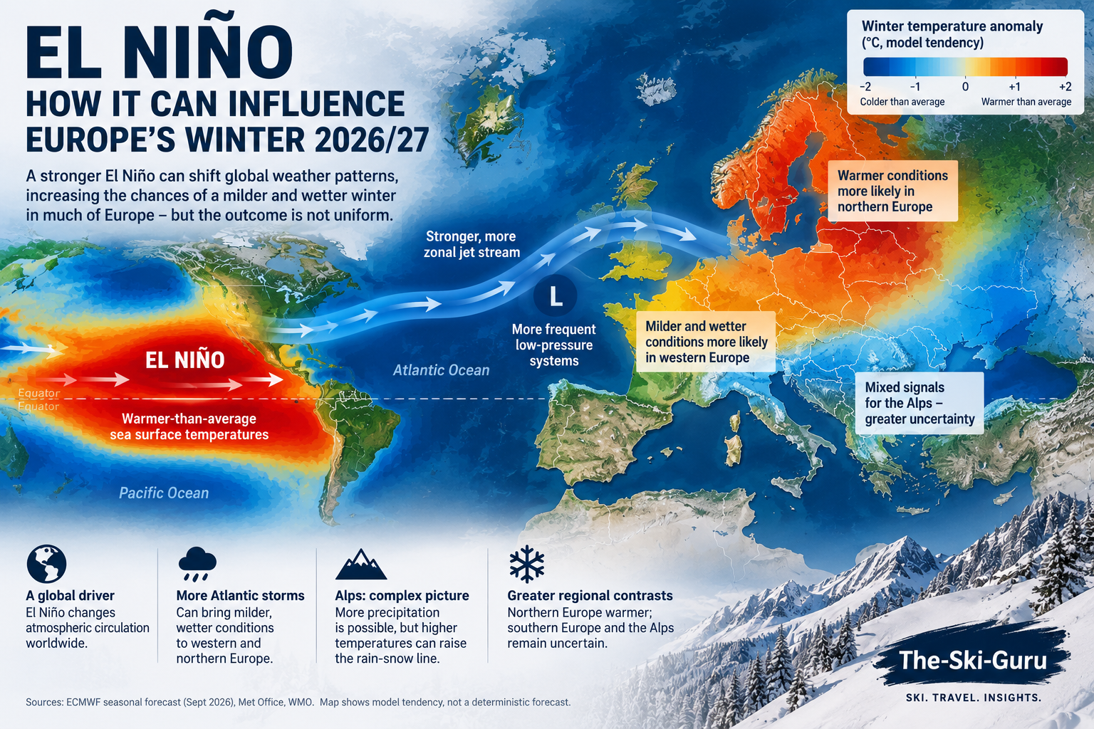
El Niño could influence Europe’s winter 2026/27. A record-breaking El Niño is building towards its winter peak, but despite dramatic headlines, it does not automatically mean a snowy — or snowless — winter for the Alps. Here is what the official forecasts actually tell us.
El Niño has officially entered record territory. When we first looked at what El Niño could mean for the 2026/27 ski season in August, the event was still developing. Since then, the signal has strengthened considerably.
On 22 September, the UK Met Office confirmed that sea-surface temperatures in the central equatorial Pacific have now surpassed those recorded during previous El Niño events, making the developing 2026 event the strongest in the observational record.
It is an extraordinary climate signal — and one arriving just as the Northern Hemisphere ski industry prepares for winter 2026/27.
But does a record El Niño mean a record ski season?
Not necessarily.
For Europe in particular, the relationship between El Niño and Alpine snowfall is considerably more complicated than some of the increasingly dramatic seasonal forecasts circulating online might suggest.
El Niño is now exceptionally strong
El Niño occurs when sea-surface temperatures across the central and eastern equatorial Pacific become significantly warmer than average, altering atmospheric circulation and weather patterns around the world.
The World Meteorological Organization (WMO) said earlier this month that El Niño was firmly established and expected to strengthen further before reaching its peak towards the end of 2026.
WMO forecasts put the probability of El Niño persisting through February 2027 at nearly 100%.
Its September seasonal update projected the Niño 3.4 sea-surface temperature anomaly at approximately 3.6°C for September–November — an exceptionally strong signal.
The Met Office has now gone one step further.
On 22 September it confirmed that observed sea-surface temperatures in the central equatorial Pacific had surpassed previous benchmarks, making this the strongest El Niño event in the observational record.
That matters globally.
A very strong El Niño can alter rainfall, temperatures and storm tracks across huge areas of the planet.
What it cannot do is tell us how much snow will fall in Chamonix, Verbier, Cervinia or St Anton in January.
Europe is not California
This distinction is particularly important for skiers.
El Niño has relatively well-established weather relationships in some parts of the world. In North America, for example, it can influence the position of the Pacific jet stream and change the probability of wetter or drier winters across different regions.
Europe is different.
The European winter climate is influenced by a complex interaction between the Atlantic Ocean, jet stream, North Atlantic Oscillation, stratospheric polar vortex and other atmospheric patterns.
El Niño is one piece of that puzzle rather than a switch determining whether the Alps receive snow.
The Met Office says strong El Niño events historically increase the likelihood of warmer, wetter and stormier conditions across the UK and northern Europe during late autumn and early winter.
Later in winter, however, El Niño can also be associated with an increased risk of colder periods.
That is already a much more nuanced picture than “El Niño means a warm winter”.
And the Alps sit further south, where individual storm tracks, altitude and the position of the rain-snow line become critical.
Wetter does not necessarily mean snowier
For ski resorts, precipitation alone is not enough.
A wetter winter can produce enormous snowfall if temperatures remain cold enough — particularly at altitude.
The same storm arriving with a freezing level several hundred metres higher can instead bring rain to lower and mid-mountain slopes while depositing snow higher up.
That makes temperature as important as precipitation when considering what a seasonal outlook might mean for skiing.
It also reinforces the growing difference between high-altitude resorts and lower ski areas as European winters become warmer.
What seasonal forecasts can — and cannot — tell us
Long-range forecasts are fundamentally different from the weather forecast we check before going skiing.
The European Centre for Medium-Range Weather Forecasts (ECMWF) produces seasonal forecasts using a 51-member ensemble. Rather than forecasting the weather on a particular day months ahead, the system estimates probabilities of conditions being above, near or below long-term averages over much larger areas and longer periods.
That is useful for identifying broad climate signals.
It cannot tell us whether the Alps will receive a metre of snow during Christmas week.
A seasonal forecast favouring above-average temperatures also does not mean every week will be warm. Cold outbreaks can still occur within an overall mild winter, just as exceptionally snowy periods can occur during a season that ultimately finishes warmer than average.
So what does this mean for the 2026/27 European ski season?
At this stage, the strongest conclusion is actually the simplest one:
Europe is entering winter with an exceptionally powerful global climate driver in place, but El Niño alone cannot determine the Alpine ski season.
Its influence may increase the chances of particular large-scale weather patterns, while Atlantic circulation, the North Atlantic Oscillation, the polar vortex and short-term storm development will ultimately determine when — and where — the snow falls.
For the ski industry, the most important question will not simply be whether winter 2026/27 is wet or dry.
It will be where the freezing level sits when that precipitation arrives.
And that is something no September forecast can reliably tell us.
So while a record-breaking El Niño deserves attention, claims that it guarantees either an extraordinary European ski winter or a disastrous one should be treated cautiously.
The Pacific can load the dice.
It does not decide every roll.
Read More:
El Niño and the 2026/27 Ski Season: What Could It Mean for Snow?
Sources:
- Met Office — Record-Breaking El Niño Surpasses Previous Benchmarks
- WMO — El Niño set to become very strong, raising risks of extreme weather into 2027
- Met Office — Latest long-range forecast and El Niño
- ECMWF — Seasonal forecasts
Planning your next trip to the Italian Alps?
If you’re heading to the Aosta Valley, take a look at Il Cuore della Valdigne, our family-owned apartment in Morgex, available for rent when we’re not using it ourselves.
It’s an ideal base to:
- Ski in Courmayeur, La Thuile and Pila
- Enjoy the mountains in summer (hiking, biking, nature)
- Explore the Mont Blanc valley in a quieter, more authentic setting.
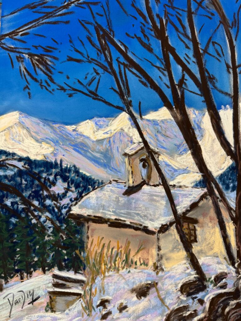
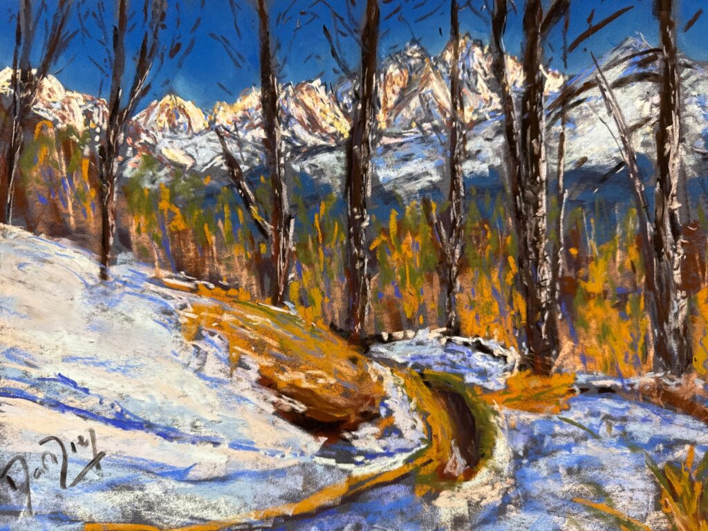
Check my Mountain Art on my Shop
You can go to my shop and see what have been inspiring me lately, lots mountain landscapes in soft pastels, and now in oils too. Go here to check my latest works!
Featured Image: Illustration of how El Niño can influence European winter weather patterns. The impact on the Alps remains complex, with temperature, precipitation and storm tracks determining whether moisture falls as rain or snow. AI-generated illustration created for The-Ski-Guru. Not an official meteorological forecast map.


Discover more from The-Ski-Guru
Subscribe to get the latest posts sent to your email.
 Subscribe to The-Ski-Guru here.
You must be logged in to post a comment.