European Snow Report: Where to Ski Now in the Alps and Pyrenees

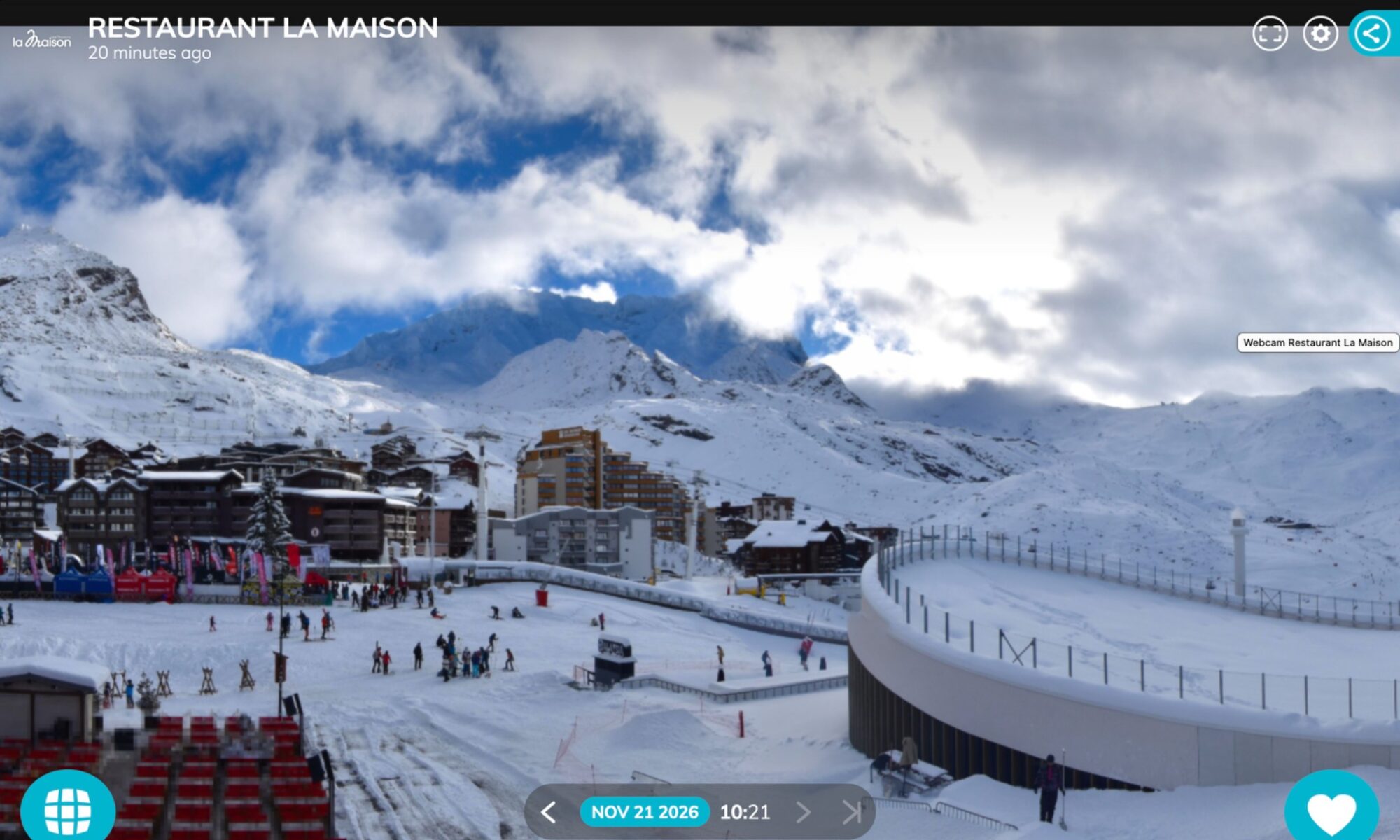
View from Restaurant La Maison in Val Thorens. Photo credit: Webcam valthorens.com

Saturday 21 November 2026

Val Thorens and Tignes are kicking off their ski seasons this weekend, and skiers were already out on the upper slopes of Cervinia on Saturday morning. Across the Aosta Valley, webcams show snow down to around 1,830 metres at Pila and 1,880 metres at Courmayeur, both due to open next Saturday. In the Pyrenees, the picture is more varied. Some French resorts are reporting substantial snow depths on their upper slopes, while Saturday’s webcams at Baqueira Beret, Formigal and across Andorra still show thin or patchy cover in the areas pictured. www.valthorens.com

French Alps — Val Thorens and Tignes start the season

Val Thorens–Orelle lists Saturday 21 November as the start of its season. The view from La Maison showed people out on the snow at resort level on Saturday morning, while cloud drifted across the Funitel Thorens webcam higher up. The wider Les 3 Vallées ski area is scheduled to open on 5 December. Check the resort’s live piste map for the lifts and runs operating on the day. Val Thorens live piste map. www.valthorens.com
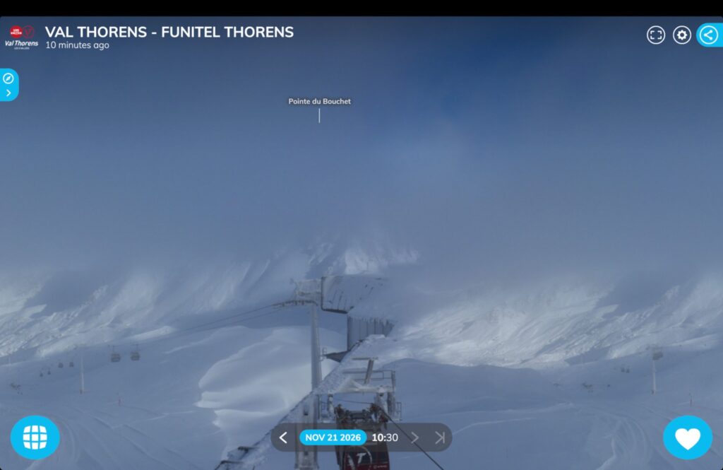
Webcam: Val Thorens ski resort. Funitel.


Continue reading “European Snow Report: Where to Ski Now in the Alps and Pyrenees”
Alps and Pyrenees Snow Update: Fresh Snow, Open Slopes and What Comes Next

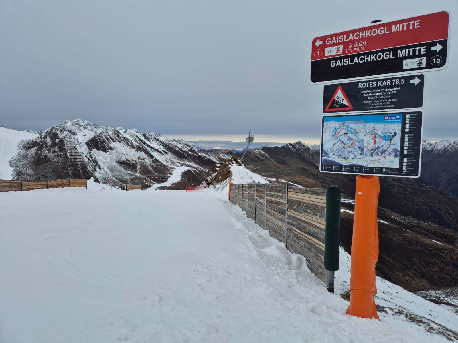
Sölden snow as of 12 November- FB post.

Updated 13 November 2026.

Fresh snow is reaching the higher slopes of the Alps as resorts prepare for the winter season. Selected glacier and high-altitude ski areas already offer skiing, while many other destinations are still working towards their opening dates.

The picture varies considerably with altitude. Saas-Fee reports fresh snow on its upper slopes but none in the village, while forecasts for the French Alps put the largest accumulations well above 2,500 metres.

Across the Pyrenees, precipitation is also bringing opportunities for high-mountain snowfall. However, the latest forecasts do not point to a widespread transformation at village level.

Here is a selection of the conditions and opening information available on 13 November, together with the outlook for the coming days.

Continue reading “Alps and Pyrenees Snow Update: Fresh Snow, Open Slopes and What Comes Next”

Alps Snow Forecast: Fresh November Snow Favours the Southwest

Prato Nevoso on 4th November 2026 in the evening with its new snow. Photo: webcam Skyline webcams.

Fresh snow is returning to parts of the Alps, with southern Piemonte and the southern French Alps best placed for this week’s snowfall. Here is the latest outlook for France, Italy, Switzerland, Austria, Germany and Slovenia.

By Martina Diez-Routh | The Ski Guru
4 November 2026

Fresh snow is returning to parts of the Alps as the winter season approaches, but the latest forecasts show considerable differences across the mountain range.

The strongest snowfall signal this week is concentrated in the far southwestern Alps, particularly southern Piemonte in Italy and neighbouring parts of the southern French Alps. Farther north and east, precipitation is expected to be lighter or more intermittent.

According to Weather to Ski’s update issued on 4 November, the most favoured southwestern areas could receive 20–30cm by Friday morning, with locally more than 40cm. These are forecast accumulations, rather than measured snow depths.

Our Europe winter 2026–27 snow forecast and snowmaking report examined the seasonal outlook and how resorts are preparing their snowmaking systems. This update turns to the shorter-range forecast: where snow is expected this week, at what altitude and how conditions could change afterwards.

An early November snowfall can occur within a season that ultimately averages warmer than normal. Seasonal outlooks describe conditions over several months; individual weather systems determine when and where snow actually falls.

Continue reading “Alps Snow Forecast: Fresh November Snow Favours the Southwest”

Alps and Pyrenees Snow Forecast: Fresh Snow and Falling Snow Levels

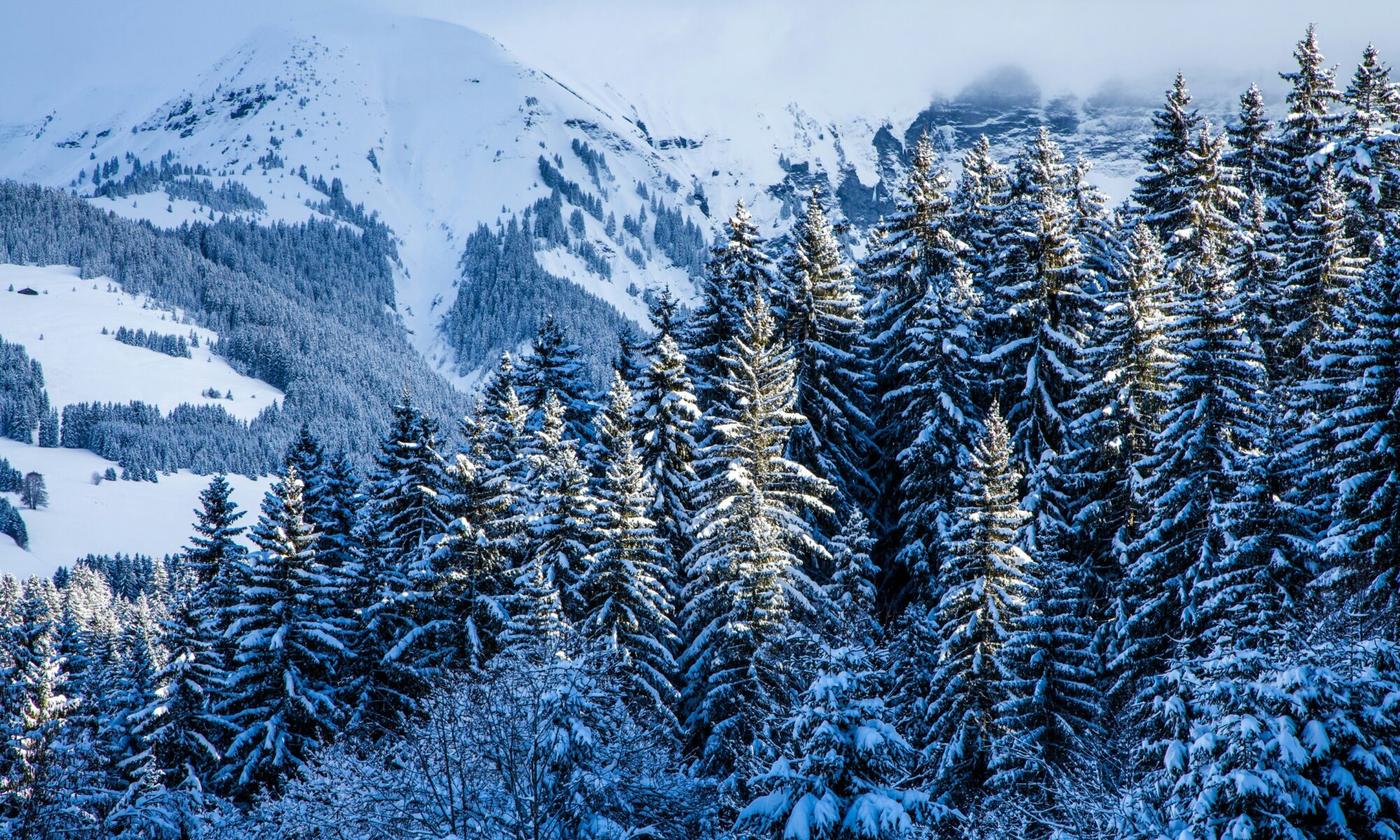
Snowy Megève. Photo credit: Mario la Pergola- Unsplash.

20 October 2026

Fresh snow is forecast for parts of the Alps this week, but elevation and timing will make a considerable difference. Official forecasts for several Italian Alpine regions show snow initially confined to higher slopes, followed by falling snow levels as colder air arrives.

In some areas, the colder conditions will reach the mountains as precipitation begins to ease. That means a lower snowline will not necessarily bring substantial accumulations to lower slopes.

The Catalan Pyrenees also have snow in the forecast, with AEMET predicting a falling snowline on Wednesday.

Continue reading “Alps and Pyrenees Snow Forecast: Fresh Snow and Falling Snow Levels”

Colorado resorts: latest snowfall updates — plus avalanche danger notes

Telluride latest snow. Photo: Telluride Ski Resort. Colorado Resorts Finally Get Fresh Snow — Vail, Aspen, Breck, Keystone & More.

A much-needed winter refresh has been moving through the Colorado mountains, and the social feeds from major resorts have been lighting up with storm skiing clips, “snow alert” posts, and fresh-snow totals. Here’s a practical round-up of what’s been reported lately across the state — from the I-70 corridor to the Elk and San Juan ranges — plus a quick avalanche danger check for anyone heading outside controlled ski areas.

Fresh snow highlights (by resort)

Vail

Local reporting from Vail Daily noted 22 inches in the last 7 days and 10 inches in the last 24 hours in a recent update. 
Vail’s official conditions page also posts rolling totals and base depth (updated daily). 

Vail Mountain Facebook photo. Colorado Resorts Finally Get Fresh Snow — Vail, Aspen, Breck, Keystone & More.

Aspen Snowmass (Aspen Mountain, Highlands, Buttermilk & Snowmass)

Aspen Snowmass shared video updates indicating up to ~9 inches overnight across the four mountains during one of the recent pulses. 
For day-to-day planning, their official snow report is the most reliable place to check the latest “new snow” and operational notes. 

Crested Butte

Crested Butte posted a terrain/snow update noting 6 inches in the past 24 hours (and associated terrain operations updates). 
A separate recent post reiterated 6” of light, blower snow in 24 hours. 


Continue reading “Colorado resorts: latest snowfall updates — plus avalanche danger notes”

Colorado Snowpack at Record Lows — National and Local Media Weigh In

Credit: Image via Vail Daily / Facebook post on historic low snowpack levels.Vail Mountain now facing worst snowpack on record — data from local SNOTEL station.

Colorado’s Snowpack Hits Historic Lows — What the Latest Media Is Reporting

Colorado’s snowpack — the lifeblood of Western water systems and mountain recreation — has fallen to historically low levels this winter season, drawing concern from local and national media alike. According to reporting by The Aspen Times, snowpack across many Colorado basins “remains at record lows with little relief in sight” as dry conditions persist. 

Credit: Image via The Aspen Times / Facebook post showing snowpack conditions.
“Colorado’s snowpack remains at record lows with little relief in sight.”
Credit: Image via The Aspen Times / Facebook post showing snowpack conditions.
“Colorado’s snowpack remains at record lows with little relief in sight.”

What the Data Shows

Government observations confirm these media reports. As of early January 2026, Colorado’s statewide snowpack sat at roughly 56 – 62 % of the median for this time of year, with some river basins — especially in central and northern mountains — recording the lowest levels on record for many stations. 

The Natural Resources Conservation Service (NRCS) reports that while overall precipitation isn’t dramatically below median levels, a larger share of it has fallen as rain instead of snow due to warm temperatures — a key reason for the depressed snowpack. 

Aiguille des Drus et Aiguille Verte, in my shop. Soft Pastels, Pan Pastels and Charcoal on La Carte Pastel. 50 x 65 cm. Check it out here.

Continue reading “Colorado Snowpack at Record Lows — National and Local Media Weigh In”

A Snowstorm Is Rolling Into the Aosta Valley — and Winter Is Finally Taking Over

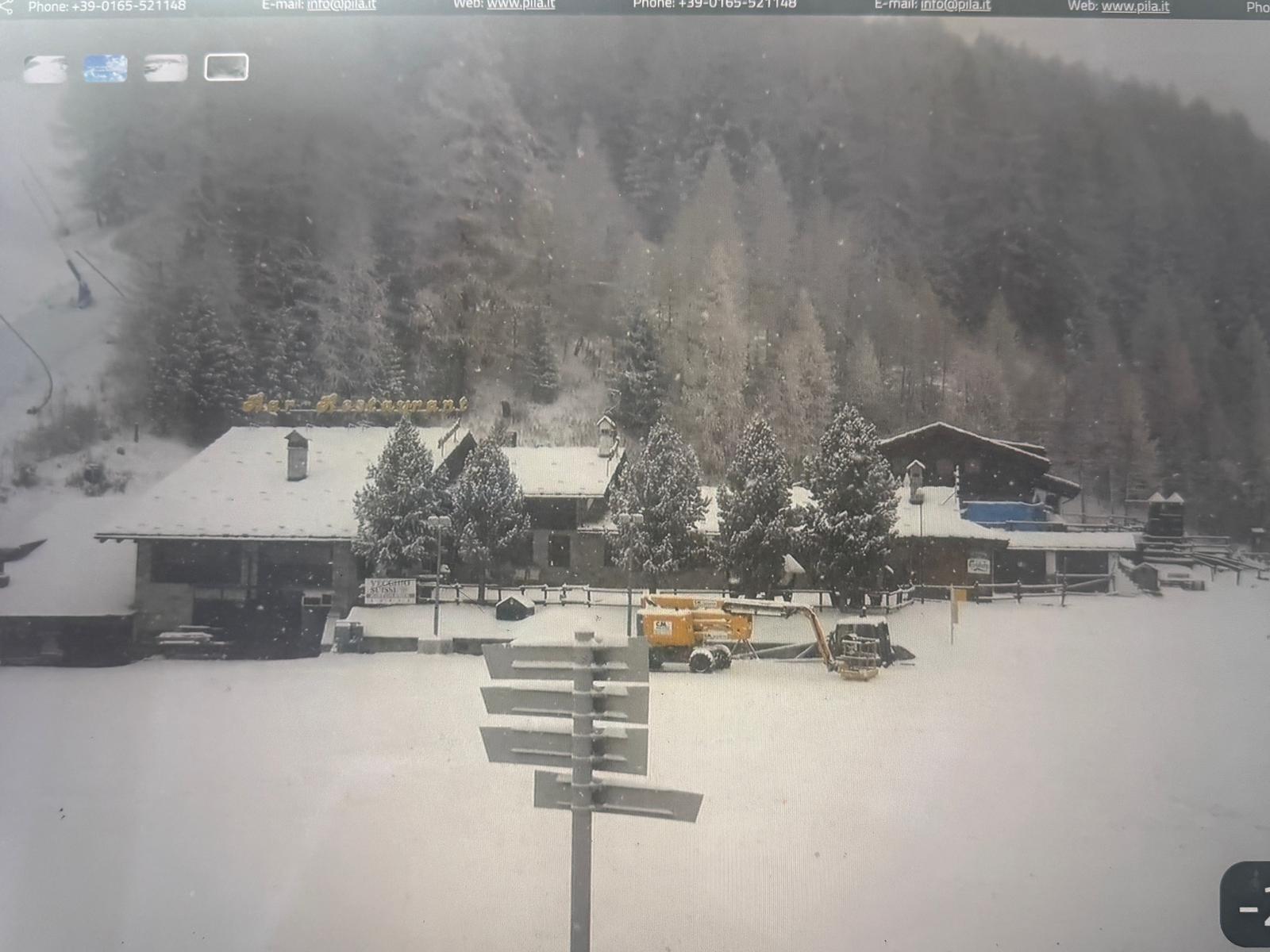
Gorraz in Pila, what a couple of days has done to change the scene to a winter wonderland. Photo: Pila webcam. 24 Nov. A Snowstorm Is Rolling Into the Aosta Valley — and Winter Is Finally Taking Over.

Snowstorm Arrives as the Aosta Valley Prepares First Ski Openings

Last week, the Aosta Valley still carried traces of autumn. From the villages, you could see the mix: white stripes of freshly prepared pistes, surrounded by brown slopes that hadn’t yet received any snowmaking. But as soon as temperatures dropped, every resort across the valley switched on its snow-guns at full power.

For days, the mountains echoed with the soft hum of snowmaking, and little by little the ski runs began to glow. By the weekend, the prepared areas looked like a true winter paradise — brilliant white ribbons winding down the mountains. The higher ridges and ungroomed sections, still untouched, remained brown… but that contrast might disappear very soon.

Because today, a major snowstorm is forecast.

And with the man-made base already in place, this natural snowfall could be the moment the entire valley slips into full winter mode.

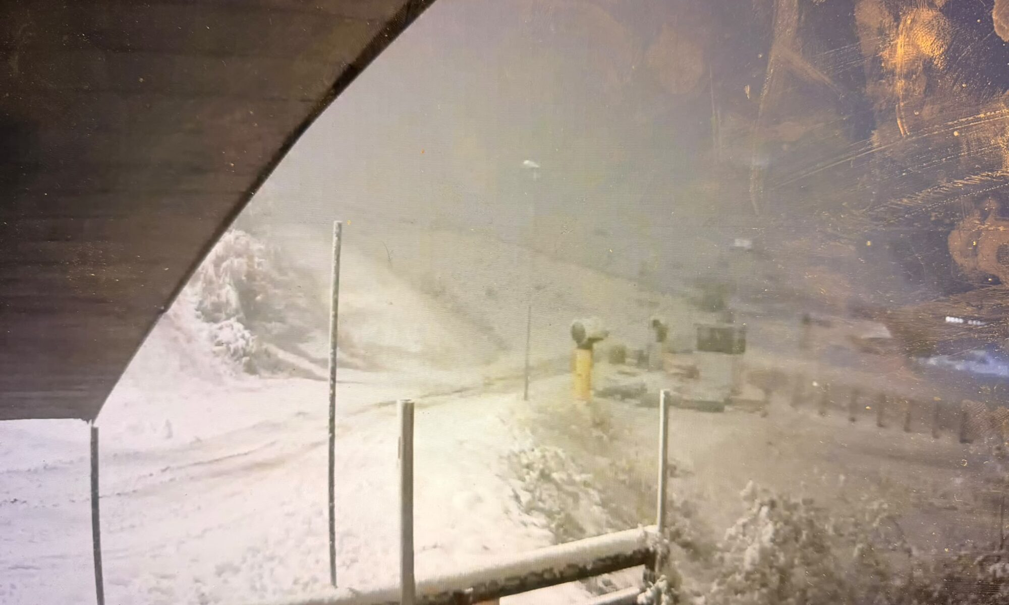
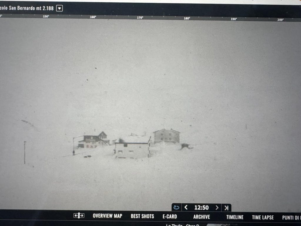
The Petit St Bernard Pass today 24 Nov. La Thuile webcam. A Snowstorm Is Rolling Into the Aosta Valley — and Winter Is Finally Taking Over.


What’s Opening and When

The storm also arrives just as resorts begin to announce their first official openings:

  • Pila is planning to open Friday, 28 November.

  • La Thuile and Courmayeur are set to follow on Saturday, 29 November.

With snow already covering the pistes thanks to last week’s snowmaking, and more snow arriving today, the timing couldn’t be better.

You can expect ski patrol, snowcat groomers and mountain crews to be working around the clock — compacting the new snow, adding more artificial snow on top, and building a strong, durable base that will hold through the season.

Continue reading “A Snowstorm Is Rolling Into the Aosta Valley — and Winter Is Finally Taking Over”