Snowmaking and Water in the Alps: When Do New Reservoirs Make Sense?

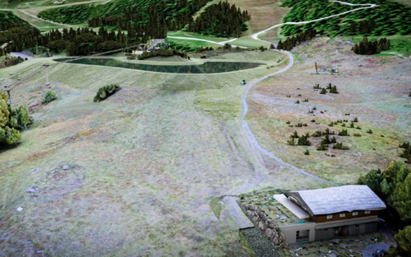
A rendering of Lake Leisse around 2,100 meters- Courtesy of Pila sPa.

A snow gun needs cold enough conditions and a supply of water. A reservoir can help with the second part by storing water for use when conditions are right. But where will that water come from, and what happens to the people and ecosystems that already depend on it?

Those questions are at the heart of BECCA, a French–Italian climate adaptation project led by the Aosta Valley. At its final conference on 4 November 2026, the project presented a strategy for deciding whether and where to build small mountain reservoirs, alongside a bilingual technical guide for designing, building and maintaining them. www.interreg-alcotra.eu

Continue reading “Snowmaking and Water in the Alps: When Do New Reservoirs Make Sense?”

Mont Blanc Is Growing Again — But What Does Its New Height Really Tell Us?

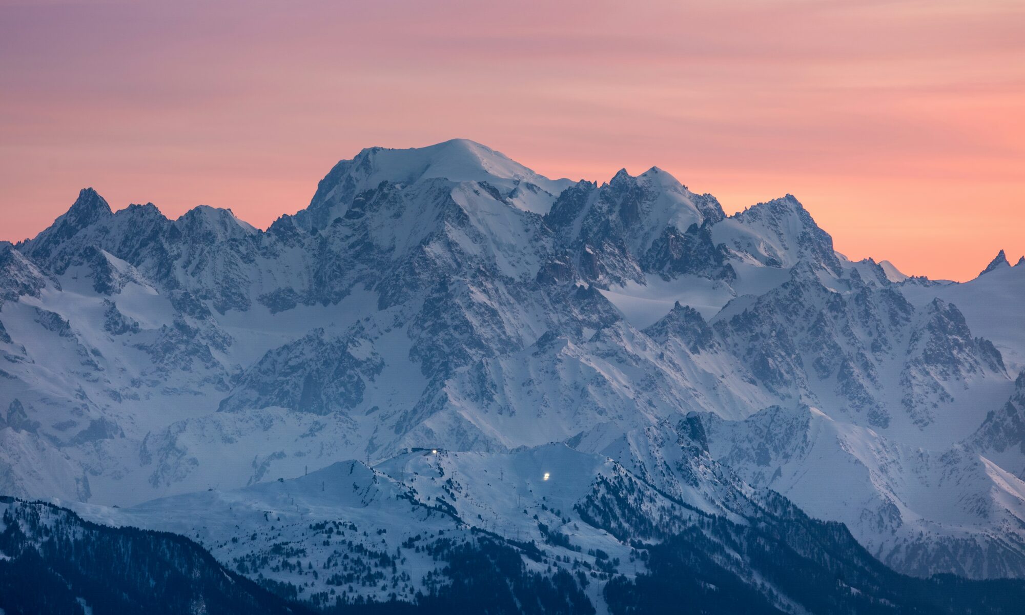
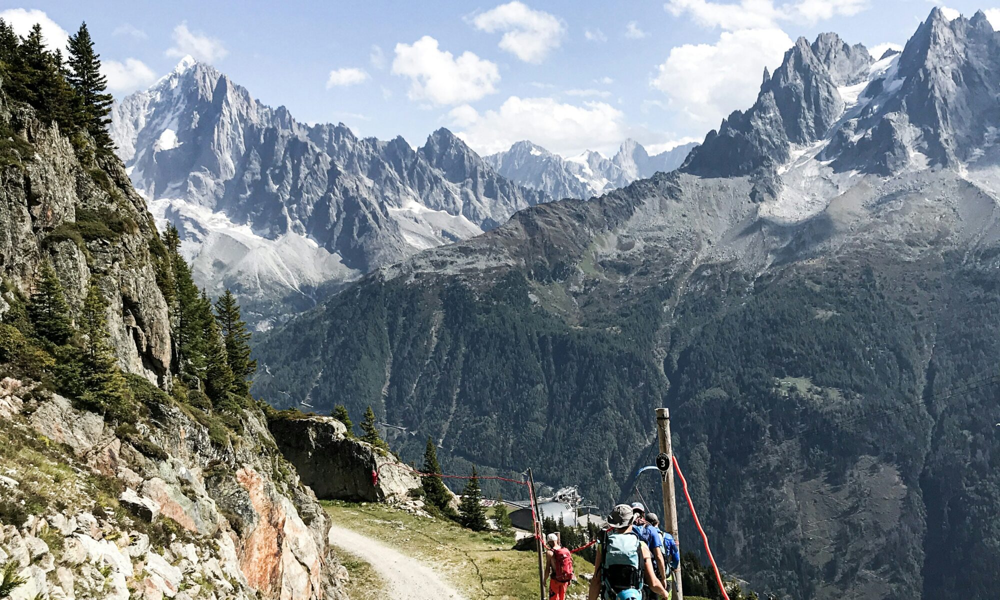
Mont Blanc seen from the French side. Photo credit: Marek Piwnicki. Unsplash.

Europe’s highest Alpine summit has gained nearly two metres since 2023, but scientists warn that changes in its snowy peak should not be confused with the wider retreat of Alpine glaciers.

Mont Blanc, the highest mountain in the Alps and Western Europe, has a newly confirmed altitude: 4,807.47 metres above sea level.

The figure was officially announced on 14 October 2026 following a French scientific expedition to the summit in September.

The measurement represents an increase of 1.88 metres compared with 2023, when Mont Blanc stood at 4,805.59 metres.

However, there is an interesting twist: the mountain is actually 1.29 metres lower than it was in 2025.

So, is Mont Blanc growing or shrinking? And what does this tell us about climate change in the Alps?

Continue reading “Mont Blanc Is Growing Again — But What Does Its New Height Really Tell Us?”

Where There Was Once Ice, Suspension Bridges Now Span the Gaps Above Chamonix’s Mer de Glace

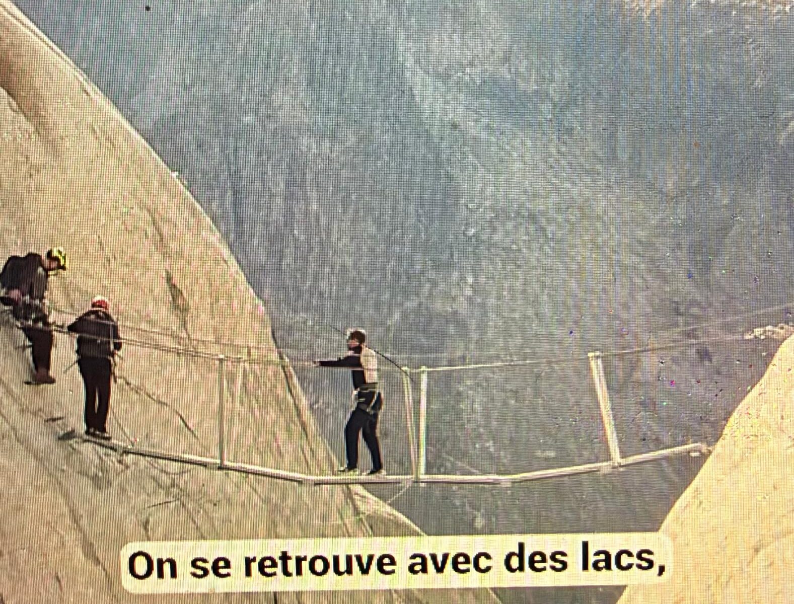
Hanging Bridge in Chamonix's Mer de Glace. Screenshot of FB post of Le Dauphiné Libéré

Three Himalayan-style suspension bridges above the Mer de Glace highlight how glacier retreat is forcing Chamonix to rethink mountain access, hiking routes and the infrastructure needed to keep the high Alps accessible.

For generations, glaciers provided natural passages through the Alps. Today, in some places, their retreat is leaving behind steep rock faces, unstable terrain and deep gaps that require entirely new solutions.

Above Chamonix’s famous Mer de Glace, three suspension bridges now illustrate this transformation particularly vividly.

The structures, described as Himalayan-style footbridges, allow mountaineers and experienced hikers to cross sections of the Balcons de la Mer de Glace where the changing landscape has made traditional routes increasingly difficult.

French regional newspaper Le Dauphiné Libéré reported on the bridges on 13 October 2026, followed by a video report on 14 October showing local officials inspecting the installations.

Continue reading “Where There Was Once Ice, Suspension Bridges Now Span the Gaps Above Chamonix’s Mer de Glace”

Matterhorn Without Snow: Hervé Barmasse Warns of a Changing Mountain

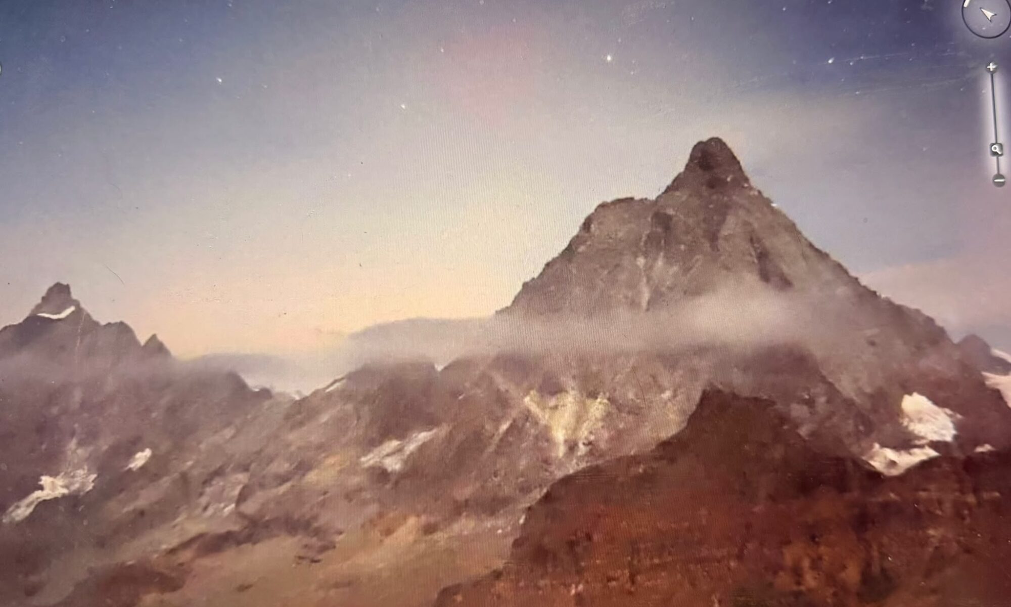
The Cervino, as seen on the early morning of 3rd October 2026. Photo: Webcam Cervino Ski Paradise.

The Matterhorn has appeared almost completely bare at the end of the 2026 summer season. For Italian alpinist and mountain guide Hervé Barmasse, who has spent his life beneath the mountain, the striking images are part of a much bigger change taking place at high altitude.

Only days after a new rockfall prompted the Cervino mountain guides to advise against climbing the Italian normal route, one of the mountain’s best-known alpinists has spoken about another striking feature of the Matterhorn in 2026: the lack of snow.

Hervé Barmasse, a fourth-generation mountain guide from Valtournenche, told Italian mountain publication L’AltraMontagna that he had never seen the Cervino — as the Matterhorn is known in Italy — quite so bare.

His comments are particularly significant because this is not a mountain he encounters occasionally.

Continue reading “Matterhorn Without Snow: Hervé Barmasse Warns of a Changing Mountain”

Tour du Mont Blanc Moves to Rein In Overtourism as Visitor Numbers Soar

Chamonix Mont Blanc. Photo credit: Antoine de Barquin. Unsplash.

One of the Alps’ most famous long-distance hiking routes could face tighter controls from 2027, as local authorities and mountain professionals seek to curb wild camping, environmental damage and increasingly crowded trails.

The days of treating the Tour du Mont Blanc as an unrestricted hiking route may be coming to an end.

Local authorities and mountain professionals on the French side of the Mont Blanc massif have agreed on the principle of a new charter aimed at better managing one of Europe’s most popular long-distance treks, following another summer of exceptionally heavy use.

The Tour du Mont Blanc — generally known simply as the TMB — covers around 170 kilometres and approximately 10,000 metres of elevation gain as it circles the Mont Blanc massif through France, Italy and Switzerland.

The rapid increase is now raising concerns about erosion, biodiversity, sanitation, safety and the overall experience of walking one of the Alps’ classic routes.

“The open-bar approach is over”

Representatives of the seven French municipalities crossed by the TMB met in September alongside refuge and campsite operators, mountain guides, transport companies, environmental organisations and French state services.

Among the proposals being developed are the systematic reservation of recognised accommodation during the summer season and stronger restrictions on wild camping.

Jean-Marc Peillex, mayor of Saint-Gervais-les-Bains and president of the Communauté de Communes Pays du Mont-Blanc, told AFP that the aim was not to prohibit access to the mountains, but to organise it.

His description of the change was considerably more colourful: the “open-bar” approach, he said, was over.

Other measures being considered include improving authorised bivouac areas with basic facilities, limiting the size and weight of luggage transported between stages, reducing the movement of large suitcases by taxi and potentially establishing a “green brigade” to help enforce local regulations.

Quotas, however, are not currently part of the proposals.

Not all the new rules are decided yet

The direction is clear, but exactly how the system will work is still being negotiated.

The charter is being finalised, and there are differences among local authorities and tourism professionals over how far regulation should go.

One of the most significant ideas is that, from 2027, hikers completing the TMB could be required to have accommodation booked in advance.

But this should not yet be interpreted as a finalised three-country permit system for the entire Tour du Mont Blanc.

The route crosses France, Italy and Switzerland, making coordinated regulation significantly more complicated. Any comprehensive system would ultimately need to account for rules and authorities on all three sides of the massif.

Wild camping is already restricted in several areas

The changes would also build on restrictions that already exist.

Wild camping and bivouacking are not freely permitted everywhere along the Tour du Mont Blanc.

In parts of the French side, including protected areas of the Aiguilles Rouges massif, hikers must already reserve designated bivouac spaces. Vallorcine also prohibits wild camping across its municipal territory outside the specific rules governing nature reserves.

The proposed charter would therefore move towards a more consistent approach rather than introducing regulation from scratch.

A route struggling with its own success

The debate reflects a wider challenge facing the Alps.

Mountain destinations have spent decades encouraging summer tourism as a way of reducing their dependence on skiing and building a stronger year-round economy.

The success of routes such as the Tour du Mont Blanc shows how effective that strategy can be — but also where its limits may lie.

Heavy concentrations of hikers can damage vegetation, accelerate trail erosion and put pressure on water, sanitation and waste infrastructure. Local officials have also complained about inappropriate behaviour, including illegal camping and hikers leaving human waste in the landscape.

At the same time, the TMB has become an important source of summer income for refuges, hotels, restaurants, guides and communities along the route.

That makes the challenge less about keeping visitors away than deciding how many people fragile mountain environments can accommodate — and how those visitors should move through them.

Planning the Tour du Mont Blanc in 2027

For hikers already considering the Tour du Mont Blanc next summer, advance planning will become increasingly important regardless of what final form the new charter takes.

The official Tour du Mont Blanc accommodation platform says reservations for summer 2027 will open on 15 October 2026.

It already strongly recommends booking refuges ahead, warning that the most popular properties can fill several months in advance.

The final rules for 2027 are still taking shape.

But after a summer in which more than 90,000 people reportedly circled the Mont Blanc massif, the message from local authorities is becoming increasingly difficult to miss: one of the Alps’ most famous trails can no longer be managed as though its capacity were unlimited.

Read More

Sources

Could Sheep’s Wool Replace Plastic Glacier Covers? Swiss Trial Shows Early Promise

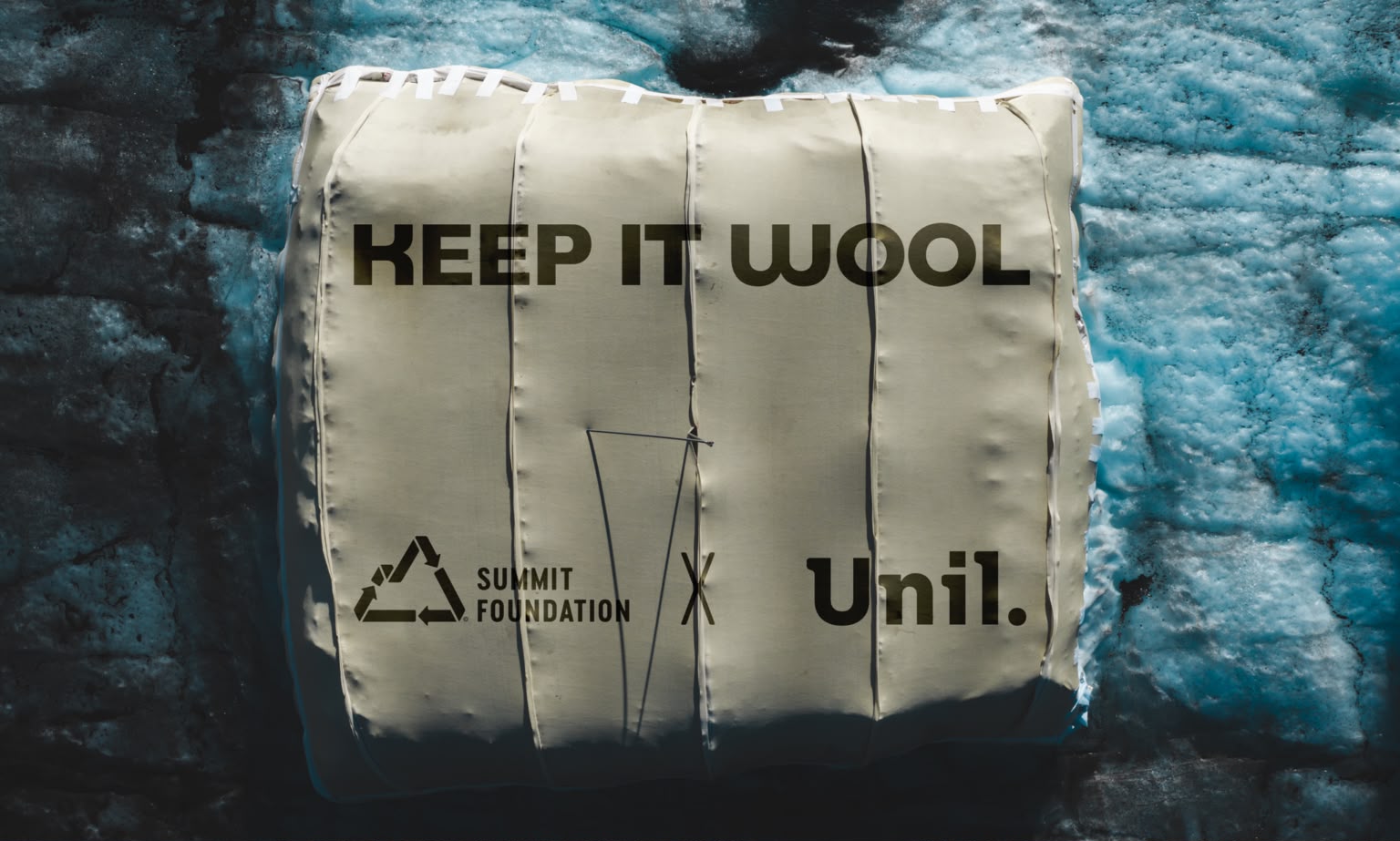
Keep it Wool. Summit Foundation.

A summer experiment on the Tsanfleuron Glacier at Glacier 3000 suggests locally sourced sheep’s wool could perform as well as conventional synthetic geotextiles — without leaving plastic fibres behind.

For around two decades, sections of glaciers in Switzerland have been covered during summer with large white geotextile sheets. The technique can reduce local melting and is also used to preserve snow from one season to the next.

Now, researchers in Switzerland are testing whether those synthetic covers could be replaced with something considerably more traditional: sheep’s wool.

At the Tsanfleuron Glacier, part of the Glacier 3000 area above Les Diablerets, two prototype wool covers were installed this summer as part of the “Keep It Wool” project, developed by environmental organisation Summit Foundation in collaboration with the University of Lausanne’s Interdisciplinary Centre for Mountain Research (CIRM).

And the first results are encouraging.

Continue reading “Could Sheep’s Wool Replace Plastic Glacier Covers? Swiss Trial Shows Early Promise”

Historic Rhône Glacier Ice Cave Faces Closure After Valais Rejects Appeal

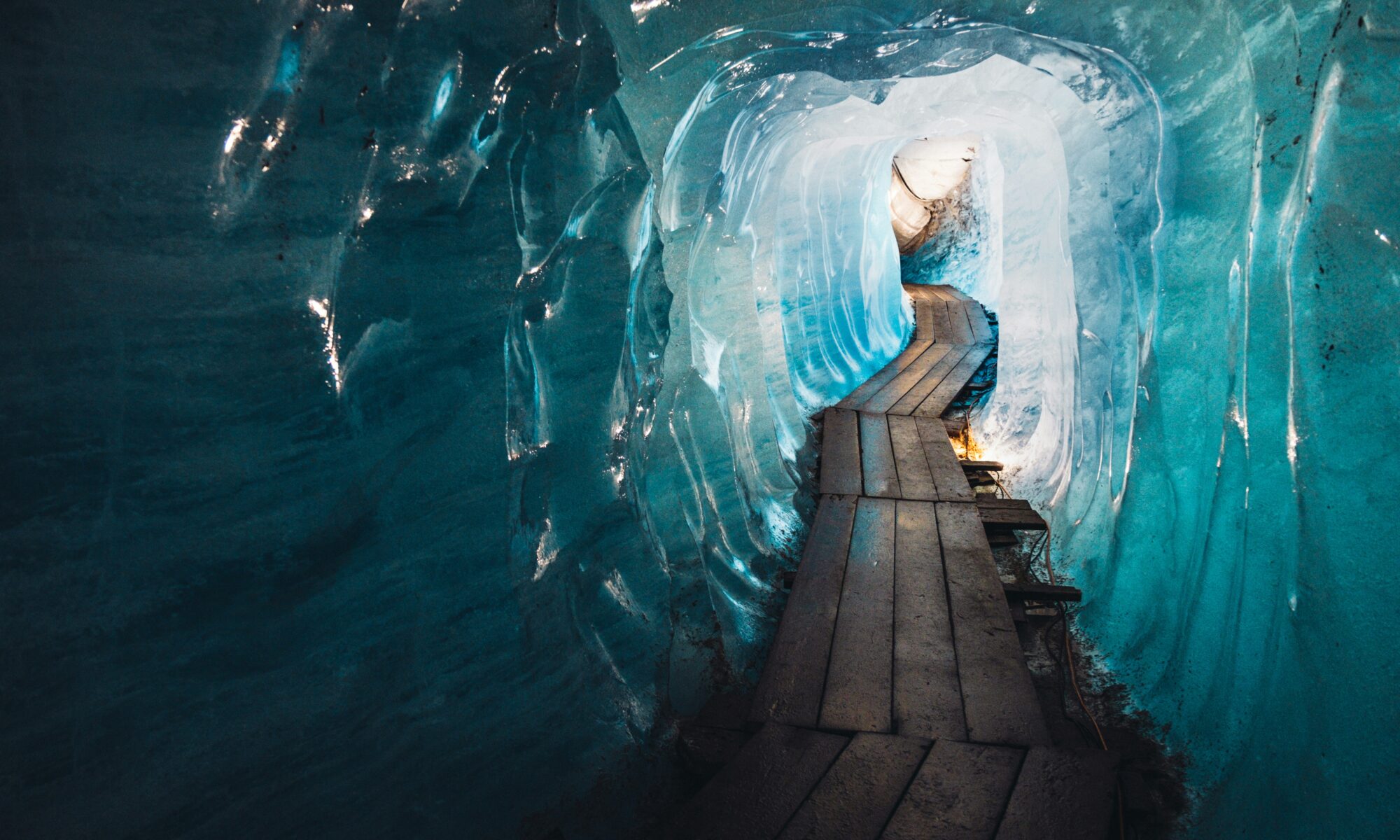
The tourist ice grotto on the Rhône Glacier has traditionally been covered with protective material to slow summer melting. Valais authorities have rejected the operator’s appeal against an order to close the attraction and restore the protected site. Photo credit: Patrick Robert Doyle. Unsplash.

Valais authorities have rejected an appeal by the operators of the historic Rhône Glacier ice cave, ordering an end to the tourist operation and the restoration of a nationally protected Alpine site. A further court appeal remains possible.

One of Switzerland’s best-known glacier attractions is facing closure after the Valais cantonal government rejected an appeal by its operators.

The decision concerns the ice grotto carved into the Rhône Glacier near the Furka Pass, an attraction reportedly visited by around 100,000 people each year.

The authorities have ordered the site to be restored and tourist operations to cease, concluding that both the excavated tunnel and the protective coverings placed over the ice should have received prior authorisation.

Continue reading “Historic Rhône Glacier Ice Cave Faces Closure After Valais Rejects Appeal”

Switzerland Won’t Run Out of Water When Its Glaciers Disappear — But Summer Is Another Story

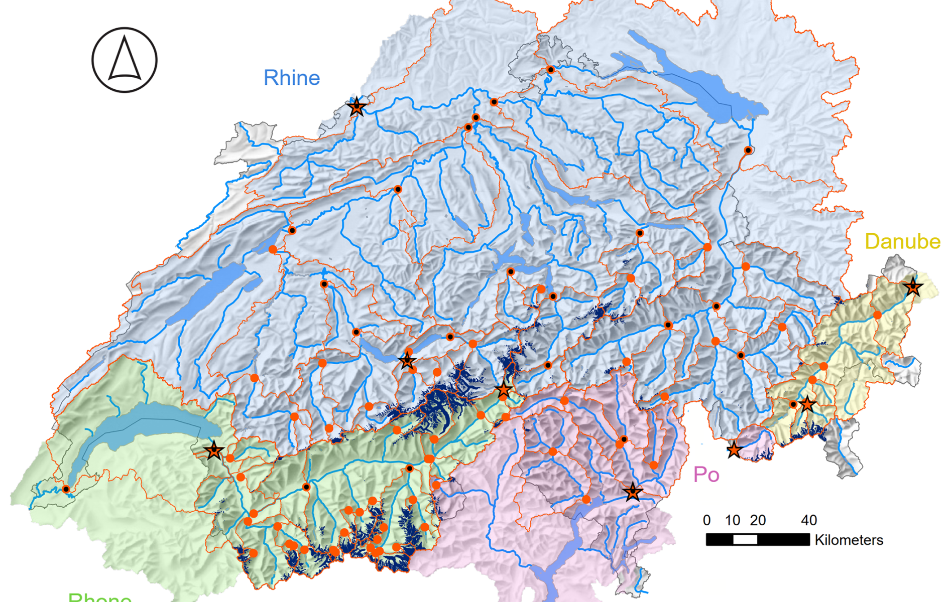
Map of hydrological Switzerland. Credit: Hess Copernicus.

Switzerland’s glaciers are shrinking rapidly, but their disappearance does not mean the country will simply run out of water. The bigger problem is when that water will be available — particularly during increasingly hot and dry Alpine summers.

Switzerland is often described as the “water tower of Europe”, while its rapidly retreating glaciers have become one of the most visible symbols of climate change in the Alps.

It is therefore easy to make a seemingly obvious connection: if the glaciers disappear, Switzerland will lose a major source of its water.

The reality is more complicated.

Swiss hydrologist Bettina Schaefli, professor at the University of Bern, recently challenged that assumption in an opinion piece published by Le Temps, arguing that Switzerland does not owe its abundant water resources primarily to its glaciers.

She is right — at least when looking at the country’s overall annual water balance.

Switzerland’s real hydrological advantage is the Alps themselves. The mountain barrier forces moist air upwards, producing substantial precipitation as rain and snow.

But that does not mean disappearing glaciers are irrelevant to Switzerland’s water supply.

Far from it.

What Switzerland is gradually losing is something particularly valuable: a natural water reserve capable of releasing water precisely when rainfall and snowmelt are no longer providing enough of it.

And during a drought, that distinction becomes crucial.

Continue reading “Switzerland Won’t Run Out of Water When Its Glaciers Disappear — But Summer Is Another Story”

Monviso Rockfall Raises Questions Over Stability of the Italian Alps Landmark

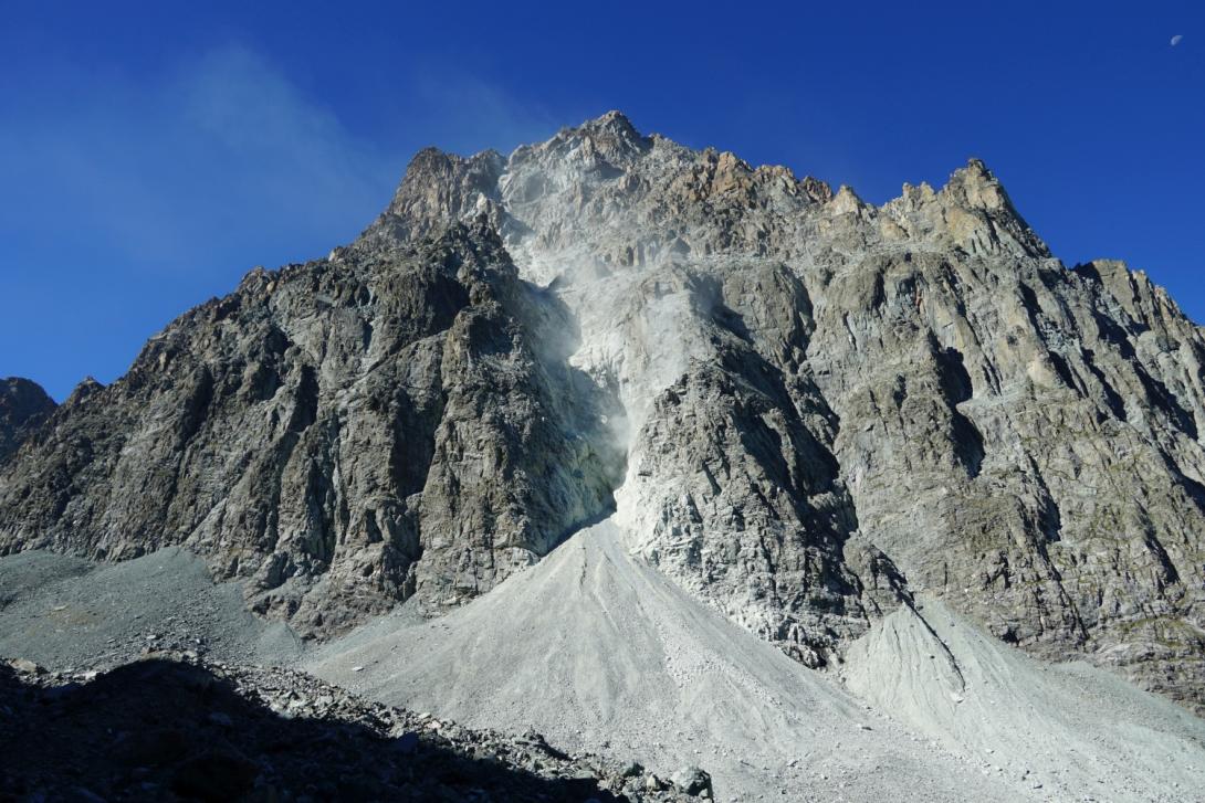
Canalone del Monviso. Photo credit: Arpa.Piemonte.it

A rockfall on Monviso’s northeast face sent thousands of cubic metres of debris down the mountain on 1 September. No one was injured and the nearby Quintino Sella refuge and its access trail were not hit by the main collapse, but repeated failures on the same face have prompted authorities to examine how the mountain is evolving.


UPDATE — 18 September 2026: New Rockfall and Regional Action

A second significant rockfall on Monviso and new temperature data have prompted the Regione Piemonte to begin a wider assessment of the mountain, including its trails, refuge access and long-term monitoring.

At the first official Tavolo Monviso, held on 16 September, ARPA Piemonte revealed that between 10 June and 10 September temperatures at its monitoring station above 3,300 metres on Monviso did not fall below 0°C.

ARPA identifies thermal stress as a probable factor in the recent rockfalls and degradation of permafrost as a possible contributing factor within a rock mass that is already heavily fractured. However, the agency continues to stress that individual rockfalls need to be assessed on their specific geological and environmental conditions.

The meeting followed another rockfall during the night of 13–14 September, this time from the Torrioni Sari on Monviso’s southern side. Regional authorities say preliminary observations suggest that this event may have been larger than the 1 September collapse on the northeast face, although further surveys are needed to determine its scale.

The two events on different sides of the mountain have led authorities to broaden their assessment from individual rockfall sites to the Monviso massif as a whole.

Access to the mountain is also under review

The Regione Piemonte is now considering additional surveys, including drone inspections, an assessment of the most exposed trails and possible alternative routes to mountain refuges.

One proposal being examined is an alternative access route to the Rifugio Quintino Sella. Improved trail signage and temporary restrictions in particularly exposed areas are also being considered.

This does not currently amount to a general closure or restriction on access to Monviso.

Continue reading “Monviso Rockfall Raises Questions Over Stability of the Italian Alps Landmark”

New Geological Studies Place Parts of Cervinia in Medium and High-Risk Zones

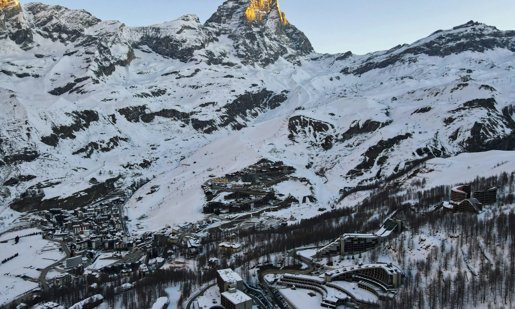
A view above the valley of Cervinia, in the Italian Alps. Photo Dimitris Kiriakakis. Unsplash.

Studies commissioned during the planning of the €200 million Cervino The One lift have prompted authorities to redraw Breuil-Cervinia’s landslide and flood-risk maps and propose a new protective barrier above the resort.

New geological studies conducted as part of the Cervino The One cable car project have identified increased landslide and flood exposure above Breuil-Cervinia, with parts of the existing resort set to fall within areas classified as being at medium or high risk.

The findings have prompted the municipality of Valtournenche to revise maps covering land exposed to landslides and flooding. The previous mapping had been approved in 2015.

The municipal council unanimously adopted the proposed revisions during a meeting on 27 August 2026.

According to a statement issued by the municipality following the meeting, the studies were conducted by lift operator Cervino S.p.A. during the design of the new Cervino The One 3S cable car system and coordinated with the Autonomous Region of the Aosta Valley.

The investigations focused in particular on the Fallinère landslide area, situated above Breuil-Cervinia.

“The investigations carried out highlighted, in particular, the dangerous nature of the Fallinère landslide, located upstream of the built-up area of Breuil-Cervinia,” the municipality said.

The revised mapping would place some existing buildings within areas classified as being at medium or high risk from landslides and flooding.

The municipality stressed that the update concerns the broader risk situation affecting the resort and not only the land required for the new lift.

Continue reading “New Geological Studies Place Parts of Cervinia in Medium and High-Risk Zones”