Alps and Pyrenees Snow Forecast: Where the Snow Line Will Fall This Weekend

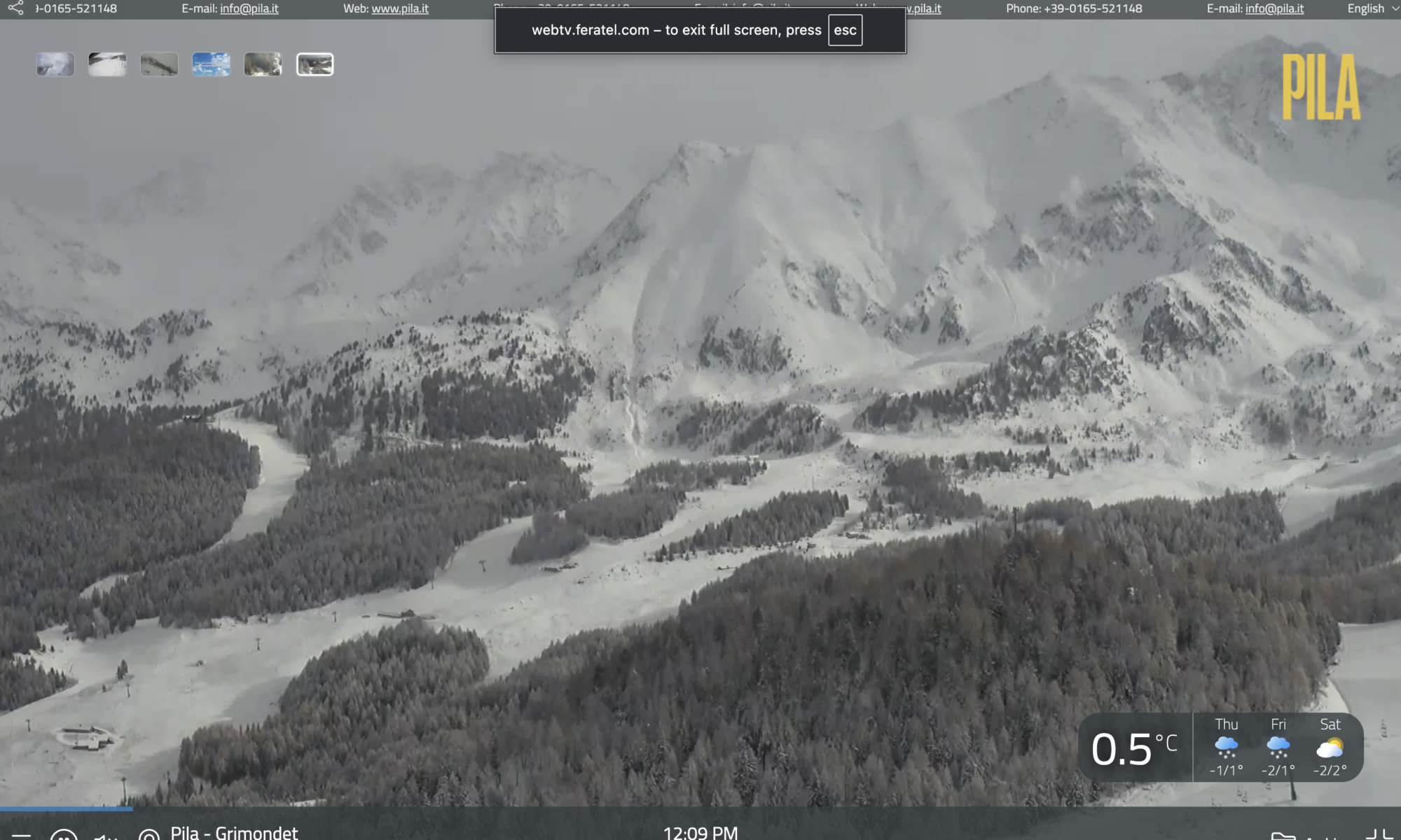
This morning snow in Pila. Photo credit: Pila.it webcam 18th November 2026

Published 18 November 2026 | Forecast for 19–22 November

Fresh snow is forecast across parts of the Alps ahead of the weekend of 21–22 November, with Tignes and Val Thorensdue to start their ski seasons on Saturday. In the northern French Alps, snow should reach progressively lower elevations as colder air arrives. The Pyrenees tell a more mixed story. In Andorra, the snow line is forecast to fall sharply overnight into Thursday, while in Aragón it could climb back towards 2,800 m during Saturday’s precipitation.

For skiers, the timing matters as much as the temperature. The freezing level is the altitude at which the air reaches 0°C. The snow line is the altitude at which precipitation falls mainly as snow, and it often sits several hundred metres below the freezing level. A lower snow line while a front is still coming through can bring snow to mid-mountain runs. If the colder air arrives after the precipitation eases, most of the fresh snow will already have fallen higher up.

Continue reading “Alps and Pyrenees Snow Forecast: Where the Snow Line Will Fall This Weekend”
Alps Snow Forecast: Fresh November Snow Favours the Southwest

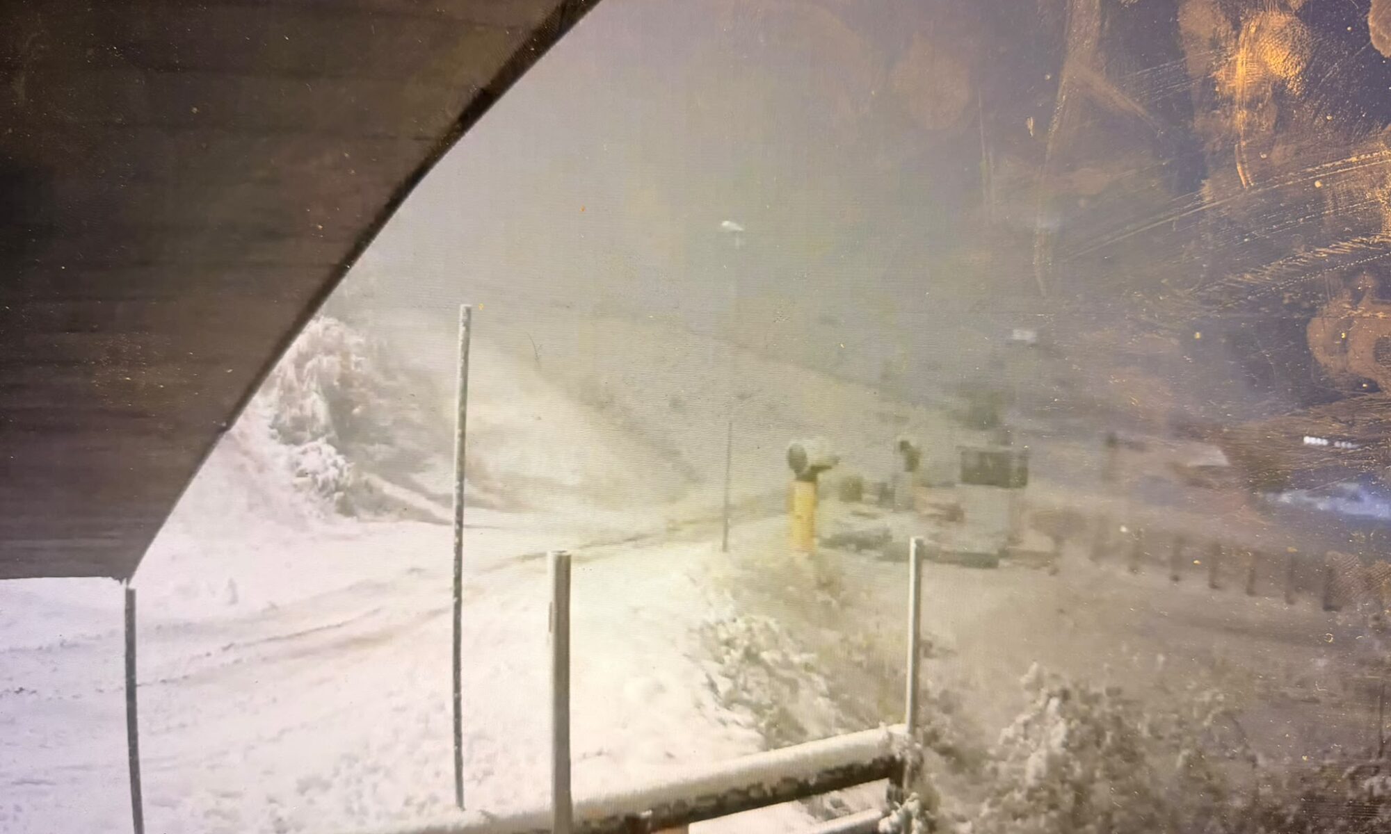
Prato Nevoso on 4th November 2026 in the evening with its new snow. Photo: webcam Skyline webcams.

Fresh snow is returning to parts of the Alps, with southern Piemonte and the southern French Alps best placed for this week’s snowfall. Here is the latest outlook for France, Italy, Switzerland, Austria, Germany and Slovenia.

By Martina Diez-Routh | The Ski Guru
4 November 2026

Fresh snow is returning to parts of the Alps as the winter season approaches, but the latest forecasts show considerable differences across the mountain range.

The strongest snowfall signal this week is concentrated in the far southwestern Alps, particularly southern Piemonte in Italy and neighbouring parts of the southern French Alps. Farther north and east, precipitation is expected to be lighter or more intermittent.

According to Weather to Ski’s update issued on 4 November, the most favoured southwestern areas could receive 20–30cm by Friday morning, with locally more than 40cm. These are forecast accumulations, rather than measured snow depths.

Our Europe winter 2026–27 snow forecast and snowmaking report examined the seasonal outlook and how resorts are preparing their snowmaking systems. This update turns to the shorter-range forecast: where snow is expected this week, at what altitude and how conditions could change afterwards.

An early November snowfall can occur within a season that ultimately averages warmer than normal. Seasonal outlooks describe conditions over several months; individual weather systems determine when and where snow actually falls.

Continue reading “Alps Snow Forecast: Fresh November Snow Favours the Southwest”

Record-Breaking El Niño Is Here — What Could It Mean for Europe’s 2026/27 Ski Winter?

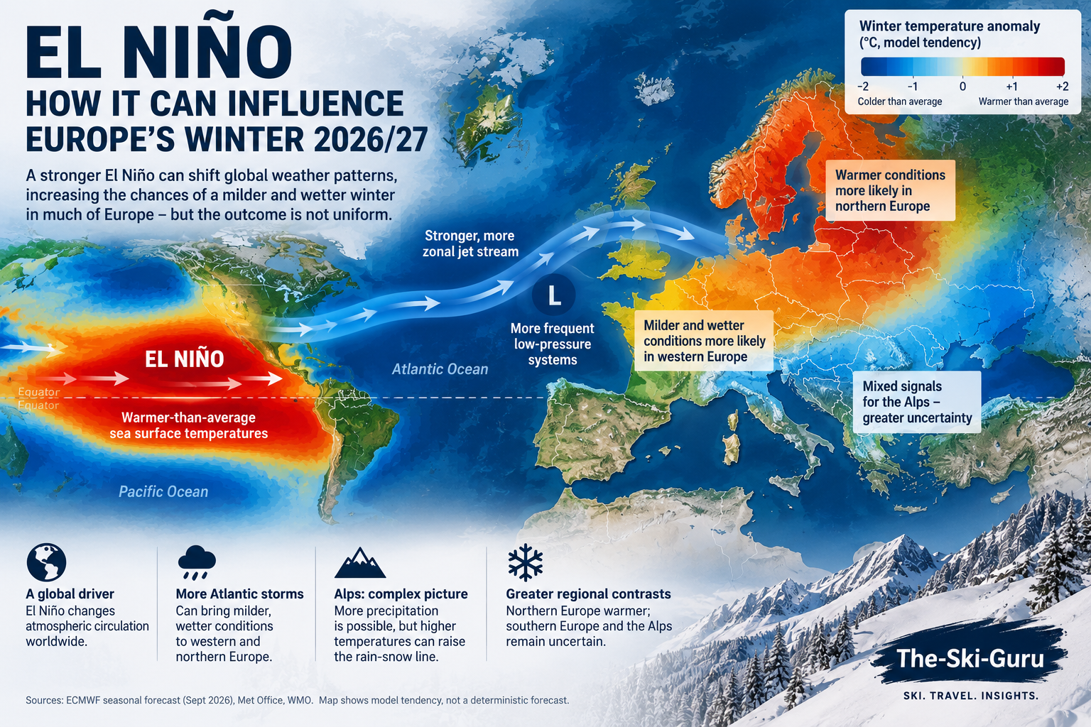
Illustration of how El Niño can influence European winter weather patterns. The impact on the Alps remains complex, with temperature, precipitation and storm tracks determining whether moisture falls as rain or snow. AI-generated illustration created for The-Ski-Guru. Not an official meteorological forecast map.

El Niño could influence Europe’s winter 2026/27. A record-breaking El Niño is building towards its winter peak, but despite dramatic headlines, it does not automatically mean a snowy — or snowless — winter for the Alps. Here is what the official forecasts actually tell us.

El Niño has officially entered record territory. When we first looked at what El Niño could mean for the 2026/27 ski season in August, the event was still developing. Since then, the signal has strengthened considerably.

On 22 September, the UK Met Office confirmed that sea-surface temperatures in the central equatorial Pacific have now surpassed those recorded during previous El Niño events, making the developing 2026 event the strongest in the observational record.

It is an extraordinary climate signal — and one arriving just as the Northern Hemisphere ski industry prepares for winter 2026/27.

But does a record El Niño mean a record ski season?

Not necessarily.

For Europe in particular, the relationship between El Niño and Alpine snowfall is considerably more complicated than some of the increasingly dramatic seasonal forecasts circulating online might suggest. Continue reading “Record-Breaking El Niño Is Here — What Could It Mean for Europe’s 2026/27 Ski Winter?”

❄️ Alpine Weather: Cold and Snowier Patterns Moving In

Map showing the next storm coming into the Alps. Copyright: OpenSnow. ❄️ Alpine Weather: Cold and Snowier Patterns Moving In.

🔥 Colder Temperatures & Increasing Snowfall

Alps Snow Forecast & North American Winter Storm Update – Jan 2026

After a period of cold but relatively dry conditions, the weather in the Alps is about to shift. Snow forecasts over the next few days are much stronger than earlier this week:

  • Up to 50–70 cm of snow is forecast above ~1500 m across the northern and western Alps — including parts of the French Alps (e.g., 3 Valleys, Portes du Soleil) and western Swiss Alps (Verbier, Valais) by Sunday. weathertoski.co.uk
  • More widespread accumulations of 25–50 cm are expected over much of the northwestern Alpine chain. weathertoski.co.uk
  • A stronger snowstorm continues to track for the northern Alps, with models even suggesting local 2 m+ totals at very high elevations if moisture and cold align. OpenSnow

Continue reading “❄️ Alpine Weather: Cold and Snowier Patterns Moving In”