


Following yesterday’s alert about severe winter conditions and difficult mountain travel, updated forecasts confirm that snowfall is continuing across large parts of the Alps, with further significant accumulations expected over the next 24–72 hours.
Meteorological services in France and Italy indicate repeated snow events, falling snow lines at times, and conditions that will remain challenging for travel and mountain activities — particularly at higher elevations.
This post provides a regional update, based on the latest forecasts from alpine and local meteorological sources.
This update follows yesterday’s warning on severe winter conditions and difficult mountain travel, where we looked in detail at driving risks, winter tyres and snow chain requirements for anyone heading into the Alps.
👉 Strong Snowfall Incoming: Driving to the Mountains in Severe Winter Conditions
🔹 TL;DR – What You Need to Know
- Snowfall is ongoing across the Northern Alps and Valle d’Aosta
- Further accumulations expected, especially above 1,500–1,800 m
- Snow lines may drop temporarily to lower elevations and even valley floors
- Travel conditions remain difficult, with winter driving skills and equipment essential
- Avalanche danger remains elevated, particularly where new snow overlies older weak layers
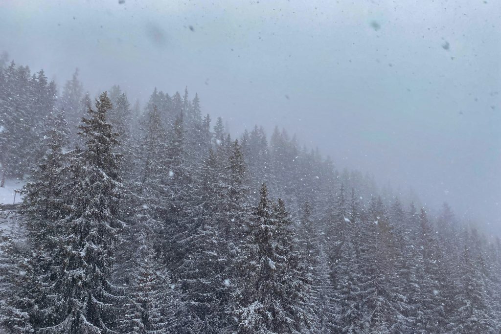
Northern Alps: Continued Snowfall and Fresh Accumulations
Across the Alpes du Nord, snow cover remains well above seasonal averages at elevation, and new snowfall is expected to add to already substantial base depths.
Current snowpack estimates indicate:
- Around 20–40 cm from approximately 1,200 m
- 70–120 cm around 2,000 m
- 150–280 cm and more above 2,500 m, depending on location
Over the coming days, further snowfall is forecast, with estimated additional accumulations of:
- 5–10 cm around 1,300 m
- 20–35 cm around 1,800 m
- 40–60 cm or more above 2,300 m, particularly in exposed or high-relief sectors such as Mont Blanc, Beaufortain and Haut-Giffre
Snowfall intensity may fluctuate, and rain–snow limits could rise and fall, depending on temperature variations during frontal passages.
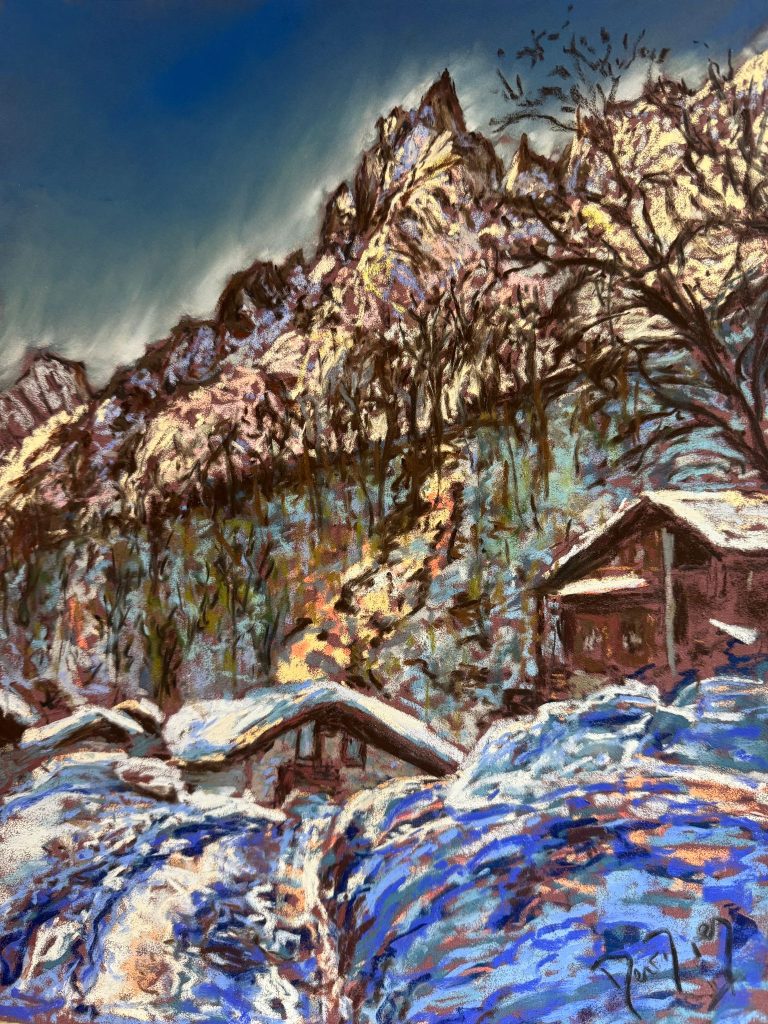
Valle d’Aosta: Snowfall Also Reaching Lower Elevations
In the Valle d’Aosta, regional bulletins confirm continued unsettled weather, with snowfall occurring in several phases.
Key points from the latest forecasts:
- 10–30 cm of fresh snow already recorded above ~1,200 m in some areas
- Further snow expected, particularly during evening and overnight periods
- Snow lines may temporarily drop to 500–800 m, with snow possible even in valley towns
- Stronger snowfall expected in western and north-western sectors of the region
Cold air at altitude combined with repeated precipitation episodes is contributing to rapid snow accumulation and ongoing instability in the snowpack.
Travel Conditions: Still Difficult in the Mountains
With continued snowfall and falling temperatures, mountain travel remains challenging:
- Roads at altitude may be snow-covered or icy
- Visibility can deteriorate rapidly during snow showers
- Mountain passes and secondary roads may be slow or temporarily restricted
- Winter tyres or snow chains are mandatory in many alpine areas
Drivers not used to mountain conditions should allow extra time, avoid unnecessary journeys, and check local road updates before setting out.
Avalanche Context: Elevated Risk Persists
Although this post focuses on weather rather than avalanche bulletins, the meteorological setup remains concerningfrom a snow stability perspective:
- New snow is accumulating on older, sometimes fragile layers
- Wind transport continues to redistribute snow into slabs
- Temperature changes can rapidly affect snow cohesion
As a result, avalanche danger remains elevated in many alpine regions, particularly outside controlled ski areas. Anyone planning off-piste or backcountry activities should consult official avalanche bulletins daily and adapt plans conservatively.
Final Thoughts
This latest update confirms that the winter weather pattern affecting the Alps and the Valle d’Aosta is not yet easing. With repeated snowfall, fluctuating snow lines and challenging travel conditions, the coming days require continued caution, both on the roads and in the mountains.
For skiers, riders and travellers, the message remains simple:
plan carefully, respect conditions, and stay informed through official local bulletins.
📌 Sources
- Meteo-des-Neiges – Northern Alps snow forecasts
- MeteoAlpes – Alpes du Nord weather bulletins
- Regione Valle d’Aosta – official regional meteorological bulletins
- Meteo Valle d’Aosta – local forecasts and snowfall updates
 Planning your next trip to the Italian Alps?
 Planning your next trip to the Italian Alps?
If you’re heading to the Aosta Valley, take a look at Il Cuore della Valdigne, our family-owned apartment in Morgex, available for rent when we’re not using it ourselves.
It’s an ideal base to:
- Ski in Courmayeur, La Thuile and Pila
- Enjoy the mountains in summer (hiking, biking, nature)
- Explore the Mont Blanc valley in a quieter, more authentic setting.
 Ski in Courmayeur,
 Enjoy the mountains in summer (hiking, biking, nature)
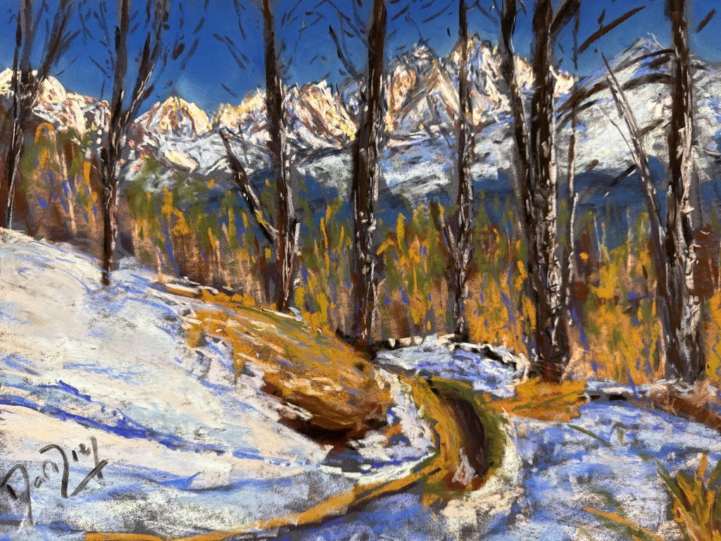
Check my Mountain Art on my Shop
You can go to my shop and see what have been inspiring me lately, lots mountain landscapes in soft pastels, and now in oils too. Go here to check my latest works!
Featured Image: Photo: Dan Ottr. Unsplash. Snowfall Update: Heavy Snow Continues Across the Alps and Valle d’Aosta.


Discover more from The-Ski-Guru
Subscribe to get the latest posts sent to your email.
 Subscribe to The-Ski-Guru here.
You must be logged in to post a comment.