

Astún–Candanchú Gondola Construction Nears 50% Completion Ahead of 2027/28 Opening

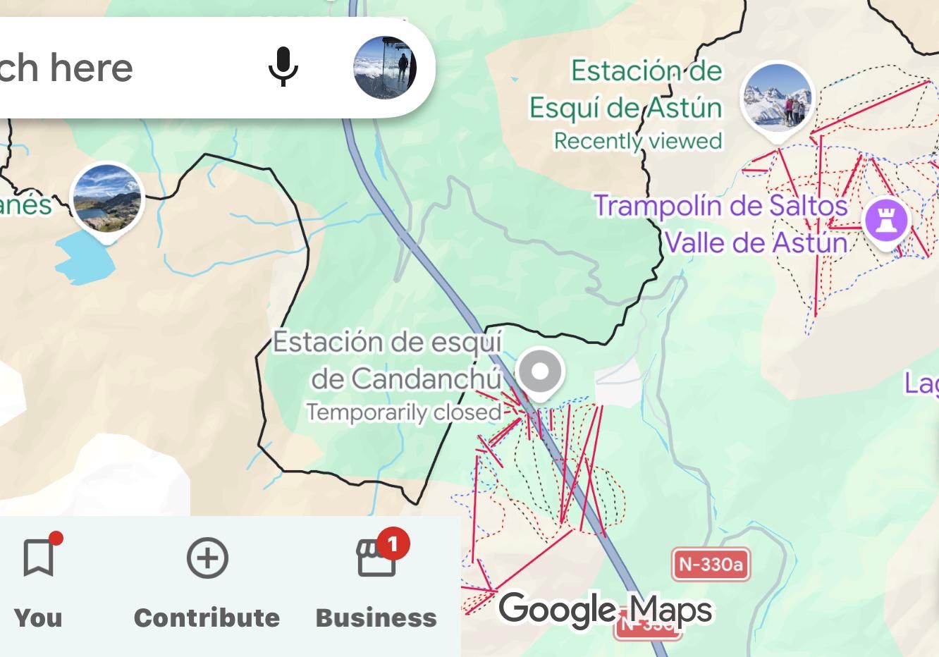
The new 3.6-kilometre gondola will connect two ski resorts in Spain’s Aragonese Pyrenees, creating a combined ski destination with more than 100 kilometres of slopes. However, the publicly funded project continues to face environmental opposition.

Construction of the new gondola linking Astún and Candanchú, two established ski resorts in Spain’s Aragonese Pyrenees, is approaching the halfway point, with the first lift towers being installed ahead of the winter season.

According to Aragón Noticias, approximately 50% of the construction work has now been completed. The project is scheduled to become operational towards the end of 2027, in time for the 2027/28 ski season.

The new connection represents one of the most significant current infrastructure developments in the Spanish Pyrenees, aiming to improve access between the two resorts and strengthen the year-round tourism offer of the Aragón Valley.

Continue reading “Astún–Candanchú Gondola Construction Nears 50% Completion Ahead of 2027/28 Opening”
New Geological Studies Place Parts of Cervinia in Medium and High-Risk Zones

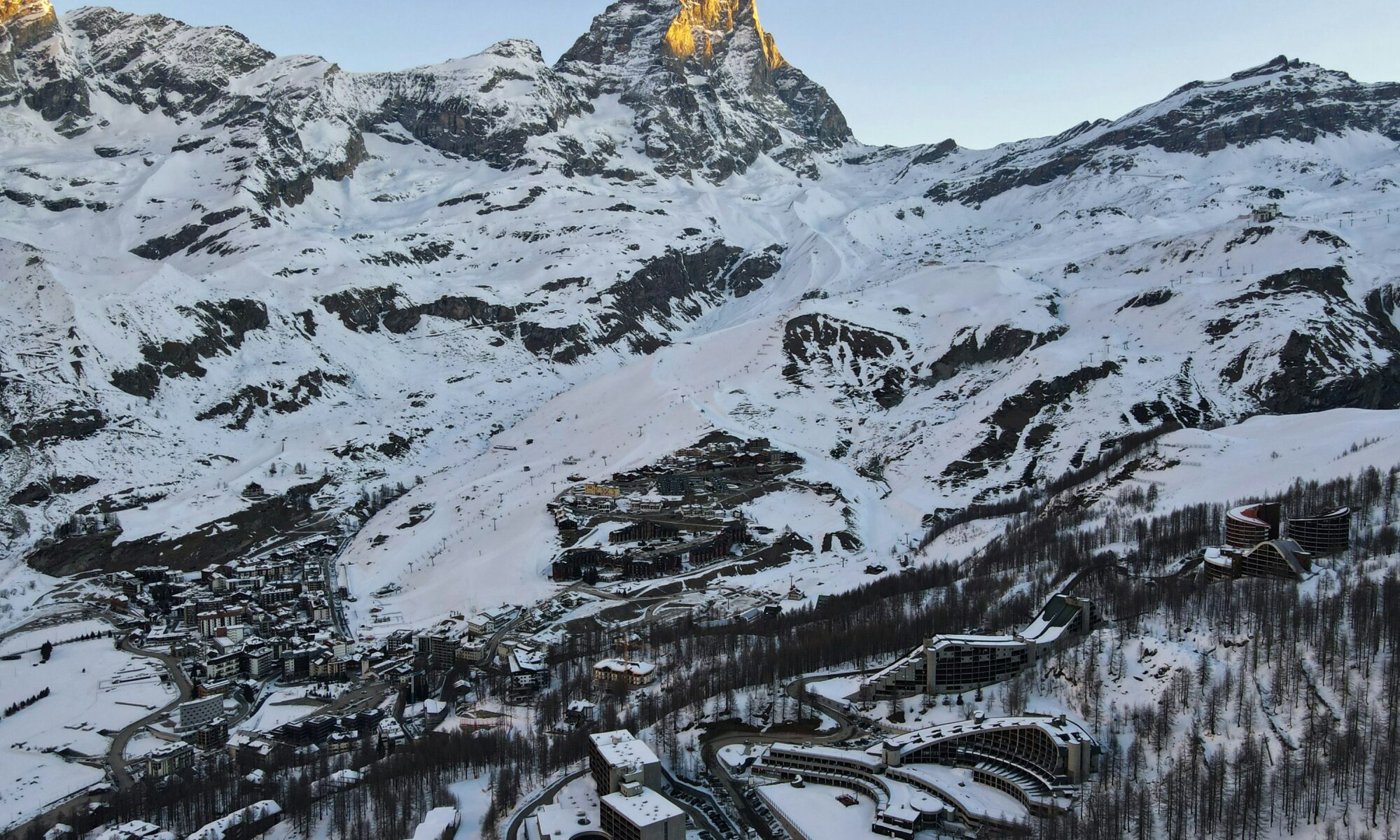
A view above the valley of Cervinia, in the Italian Alps. Photo Dimitris Kiriakakis. Unsplash.

Studies commissioned during the planning of the €200 million Cervino The One lift have prompted authorities to redraw Breuil-Cervinia’s landslide and flood-risk maps and propose a new protective barrier above the resort.

New geological studies conducted as part of the Cervino The One cable car project have identified increased landslide and flood exposure above Breuil-Cervinia, with parts of the existing resort set to fall within areas classified as being at medium or high risk.

The findings have prompted the municipality of Valtournenche to revise maps covering land exposed to landslides and flooding. The previous mapping had been approved in 2015.

The municipal council unanimously adopted the proposed revisions during a meeting on 27 August 2026.

According to a statement issued by the municipality following the meeting, the studies were conducted by lift operator Cervino S.p.A. during the design of the new Cervino The One 3S cable car system and coordinated with the Autonomous Region of the Aosta Valley.

The investigations focused in particular on the Fallinère landslide area, situated above Breuil-Cervinia.

“The investigations carried out highlighted, in particular, the dangerous nature of the Fallinère landslide, located upstream of the built-up area of Breuil-Cervinia,” the municipality said.

The revised mapping would place some existing buildings within areas classified as being at medium or high risk from landslides and flooding.

The municipality stressed that the update concerns the broader risk situation affecting the resort and not only the land required for the new lift.

Continue reading “New Geological Studies Place Parts of Cervinia in Medium and High-Risk Zones”