

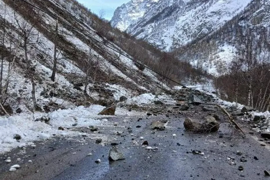
A powerful landslide has completely blocked the main RD1091 road in the Oisans region of the French Alps on Sunday, 22 February 2026, cutting vehicular traffic between the barrage du Chambon and La Grave.
The rockfall occurred on the RD1091 route — the principal road linking key Alpine towns and serving as a heavily trafficked corridor for residents and tourists alike.
What happened
According to reports from TG+, large rocks and debris fell onto the road surface, prompting authorities to close the route in both directions on Sunday evening. No vehicles were struck by falling rocks at the time of the incident, and no injuries have been reported so far.
An aerial survey was carried out to assess the extent of the disruption and to check for any further instability or risk of additional rockfall before reopening the road.
Travel disruption and recommended detours
With the RD1091 still closed indefinitely pending safety evaluations, drivers are being advised to use alternative routes to bypass the blocked section:
- From Briançon to Grenoble: travel via Gap and Veynes, then over the Col de la Croix-Haute, adding roughly 90 km and significantly more driving time than the usual route.
- From Grenoble to Briançon: follow indicated detours including the A51 motorway and D1075 via Col de la Croix-Haute to reconnect with higher Alpine roads.
These detours are expected to be heavily used, especially as the closure affects a popular corridor for visitors heading to ski resorts such as Serre-Chevalier and Montgenèvre via the traditional Alpine road network.
Background: RD1091 and geological context
The RD1091 (formerly part of France’s national road network) is a key Alpine route through the Isère and Hautes-Alpes departments, historically prone to rockfall and landslide risk due to steep mountain slopes and geological instability.
Infrastructure engineers and local authorities will need to carefully evaluate the rockface and debris field before the route can be reopened, balancing public safety and travel access in a region where weather conditions can also increase instability on exposed mountain roads.
What this means for travellers
If you’re planning to drive through the French Alps or travel between the Isère and Hautes-Alpes regions in the coming days:
- Expect longer journey times due to detours.
- Check local traffic information and road closures on government transport sites or via GPS navigation apps.
- Winter weather and fluctuating temperatures can still impact Alpine road stability this time of year.
Sources
- TG+: “La route principale de l’Oisans coupée par un éboulement impressionnant” — landslide blocks RD1091 road in France, 22 Feb 2026.
- Wikipedia: RD91 / RD1091 route info (former Route nationale 91).
 Planning your next trip to the Italian Alps?
 Planning your next trip to the Italian Alps?
If you’re heading to the Aosta Valley, take a look at Il Cuore della Valdigne, our family-owned apartment in Morgex, available for rent when we’re not using it ourselves.
It’s an ideal base to:
- Ski in Courmayeur, La Thuile and Pila
- Enjoy the mountains in summer (hiking, biking, nature)
- Explore the Mont Blanc valley in a quieter, more authentic setting.
 Ski in Courmayeur,
 Enjoy the mountains in summer (hiking, biking, nature)
Check my Mountain Art on my Shop
You can go to my shop and see what have been inspiring me lately, lots mountain landscapes in soft pastels, and now in oils too. Go here to check my latest works!
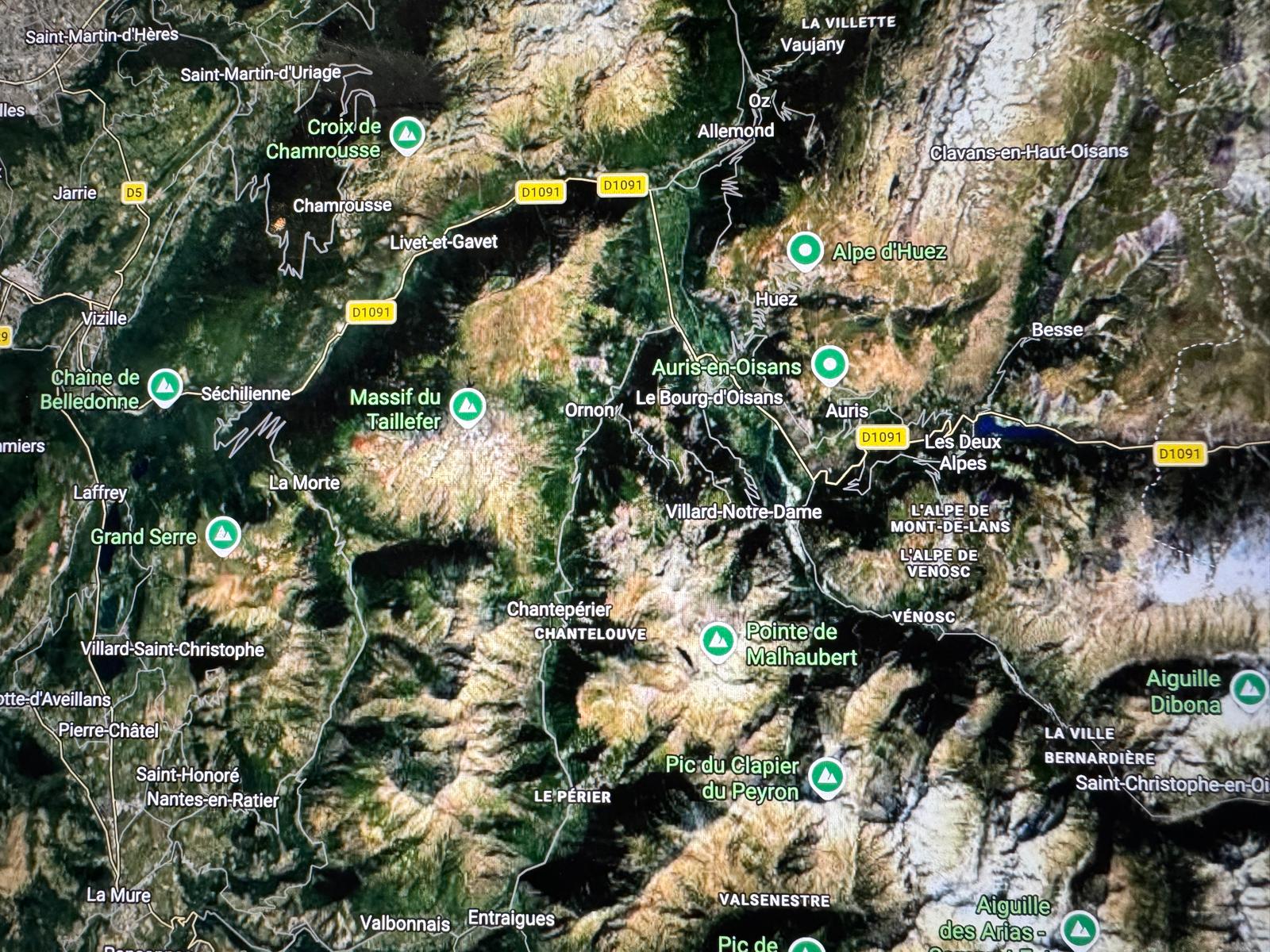
Featured Image: Oisans Major Road Blocked by Landslide in France. Google Maps.


Discover more from The-Ski-Guru
Subscribe to get the latest posts sent to your email.
 Subscribe to The-Ski-Guru here.
You must be logged in to post a comment.