

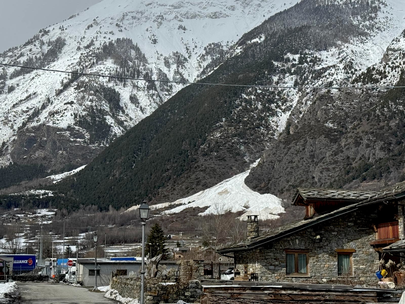
Following a week of heavy snowfall and strong winds, the Aosta Valley has entered a new avalanche phase characterised by large spontaneous releases and widespread wet snow instability.
According to the official bulletin issued on 27 February 2026, numerous avalanches have reached valley bottoms, affecting accessibility and prompting evacuations. Fatal accidents during this period underline once again the seriousness of the current winter conditions.
This update reflects the ongoing evolution of the February 2026 Alpine avalanche cycle.
New Spontaneous Avalanche Cycle
Heavy snowfall combined with wind loading triggered:
- Large spontaneous avalanches
- Events involving significant powder cloud components
- Several avalanches reaching valley floors
In multiple cases, infrastructure and access routes were affected.
Effects of Rising Temperatures
Mild temperatures, solar radiation and wind have progressively moistened the snowpack. These rapid warming phases are increasingly influencing not only avalanche activity, but also how heat is affecting the ski season.
Below 3000 metres
- Numerous wet and wet-snow avalanches were observed Wednesday and Thursday
- Particularly active in central and eastern sectors
Western and North-Western Sectors
- Persistent deep weak layers remain the primary concern
- Risk of slab avalanches and crown fractures, sometimes described locally as “whale’s mouths”
Current Snowpack Stability
Northern Exposures
The snowpack is generally more stable on northern slopes. However, caution remains necessary in:
- Areas with thin snow cover
- Gully entrances
- Convex slope changes
- Very steep terrain
Weak layers can still be triggered under skier load.
Sunny Exposures
- Good surface refreezing in the morning
- Rapid deterioration late morning and afternoon due to solar radiation
What Happens Next?
A temperature drop is expected in coming days, which may reduce the wet snow problem.
However:
- Persistent weak layers remain reactive
- Wind slabs are still present
- Human-triggered avalanches remain possible
The situation remains delicate, especially in sectors rated Level 4 (Strong), and should not be underestimated even where the danger rating is Level 3 (Considerable).
Before planning any off-piste itinerary, always consult the official avalanche bulletin and updated weather forecasts.
Frequently Asked Questions
Why did wet snow avalanches increase in Aosta Valley this week?
Heavy snowfall followed by a rise in temperatures, solar radiation and wind caused the snowpack below 3000 metres to become progressively moist, triggering numerous wet snow avalanches.
Are avalanches still possible after temperatures drop?
Yes. While cooling may reduce wet snow instability, persistent weak layers and wind slabs remain reactive in some sectors, particularly in areas rated Level 4 (Strong) and Level 3 (Considerable).
Which slopes are currently more stable?
Northern exposures are generally more stable, but thin snow areas, convex slopes and very steep terrain can still harbour weak layers. Sunny slopes refreeze overnight but deteriorate rapidly later in the day.
Should off-piste skiing be avoided?
Extreme caution is advised. Always consult the official avalanche bulletin and adapt plans to the current danger rating before heading into backcountry terrain.
Source: AINEVA / Fondazione Montagna Sicura – 27 February 2026
 Planning your next trip to the Italian Alps?
 Planning your next trip to the Italian Alps?
If you’re heading to the Aosta Valley, take a look at Il Cuore della Valdigne, our family-owned apartment in Morgex, available for rent when we’re not using it ourselves.
It’s an ideal base to:
- Ski in Courmayeur, La Thuile and Pila
- Enjoy the mountains in summer (hiking, biking, nature)
- Explore the Mont Blanc valley in a quieter, more authentic setting.
 Ski in Courmayeur,
 Enjoy the mountains in summer (hiking, biking, nature)
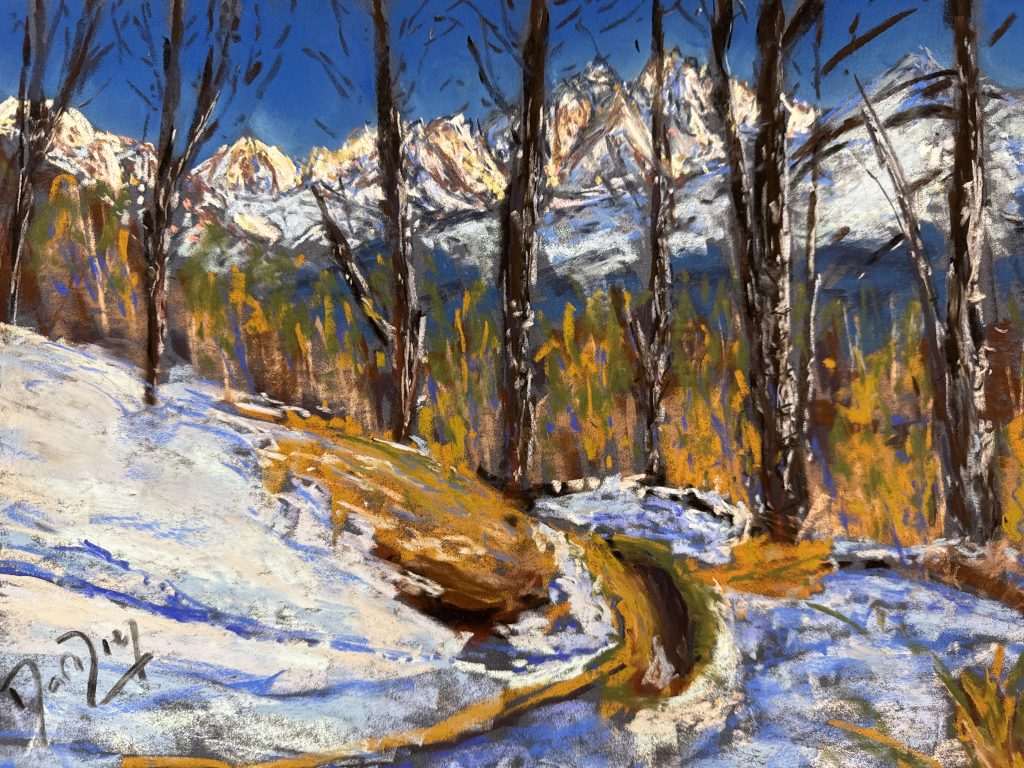
Check my Mountain Art on my Shop
You can go to my shop and see what have been inspiring me lately, lots mountain landscapes in soft pastels, and now in oils too. Go here to check my latest works!
Featured Image: Avalanche debris descending from the Licony slopes toward the hamlet of Lavancher, seen from Pautex (Morgex), late February 2026.
Photo: The-Ski-Guru (February 2026)


Discover more from The-Ski-Guru
Subscribe to get the latest posts sent to your email.
 Subscribe to The-Ski-Guru here.