

Introduction
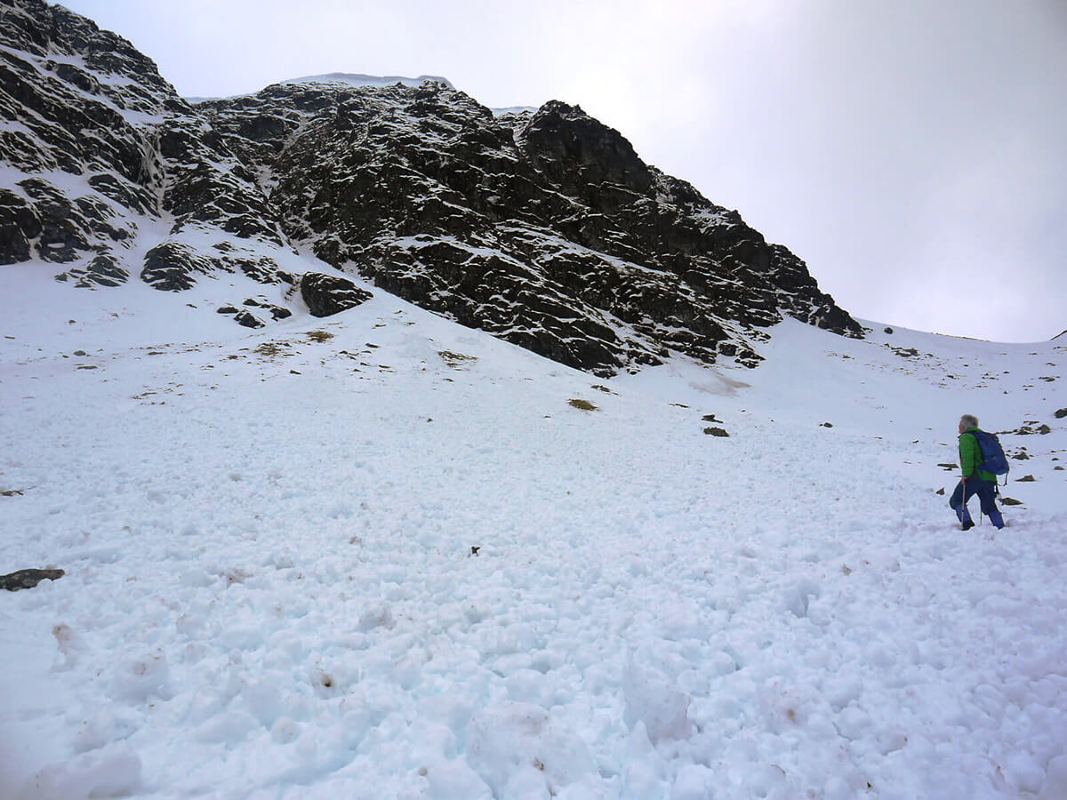
Following several days of heavy snowfall and strong winds across the Northern French Alps, a rapid rise in temperatures — with the freezing level climbing above 3000 metres — has triggered a new phase in the February 2026 avalanche cycle.
In the past 72 hours, avalanches have affected both backcountry terrain and managed ski domains across multiple massifs. A full overview of the February avalanche incidents across the Alps can be found here.
This update analyses what is happening across the massifs and why the snowpack is reacting now.
Table of Contents
- Storm Loading Phase (Level 4–5)
- The Rapid Warming Shift
- In-Resort Avalanches: A Changing Risk Profile
- Persistent Weak Layers Reactivated
- What This Means Going Forward
1️⃣ Storm Loading Phase (Level 4–5)
Earlier in the week, heavy snowfall combined with strong wind transport created widespread slab formation across:
 Subscribe to The-Ski-Guru here.