

Knowing where to check mountain closures in the Alps is increasingly important as extreme heat, thunderstorms, rockfalls, flooding and rapidly changing glacier conditions affect trails, lifts, roads and mountaineering routes.
However, finding reliable information is not always straightforward. There is no single website covering every mountain closure across France, Italy, Switzerland, Austria and Slovenia. Information may be published by a lift operator, municipality, regional authority, mountain rescue organisation, alpine club or mountain hut — and each may be reporting on something different.
A cable car can be operating while a hiking trail from its upper station is closed. A mountain hut can be open even though one of its access routes is no longer considered safe. A mountaineering route may not be officially closed but may have been abandoned by local guides because of rockfall, crevasses or unstable ice.
Here is where to check before travelling into the Alps.
First, Identify What You Need to Check
“Mountain closure” can mean several different things.
Lift operators normally provide information about cable cars, gondolas, mountain railways and visitor attractions. Their websites may show whether an installation is open, closed because of wind or undergoing scheduled maintenance.
Trail closures are more likely to be published by municipalities, regional authorities, tourist offices, national parks or alpine clubs.
Conditions on glaciers and mountaineering routes may be reported by mountain safety organisations, guide offices, mountain huts and alpine clubs. These routes are not always formally closed when they become dangerous.
Roads, tunnels and mountain passes are covered by road authorities, transport operators and local government websites. You can also consult our regularly updated guide to Alps road conditions, mountain passes and tunnels.
Weather warnings are issued separately by each country’s national or regional meteorological service.
For that reason, checking only Google Maps, a hiking app or the resort website is rarely enough.
The Best Order for Checking Mountain Conditions
Start with the official website of the lift operator or resort, particularly if your journey includes a cable car, mountain railway or ski lift.
Next, check the municipality, local tourist office or regional civil protection authority for official closures and access restrictions. Then consult the relevant mountain safety organisation or alpine club for information about hiking and mountaineering routes.
If your trip includes a mountain hut, check its opening status and contact the hut directly if conditions are changing quickly. Finally, examine recent webcams and the official weather forecast.
Apps such as AllTrails, Komoot, Strava and Google Maps can be helpful for planning, but they should not be treated as official confirmation that a trail is open or safe. User reports may be outdated, and a route shown on a digital map may cross an area that has subsequently been closed.
Where to Check Mountain Closures in France
In the French Alps, information is usually divided between lift companies, municipalities, mountain safety organisations and Météo-France.
For the Chamonix Valley, La Chamoniarde is one of the most valuable sources of mountain information. Its Office de Haute Montagne publishes reports on hiking and high-mountain conditions, glaciers, refuges and mountaineering routes.
The organisation’s Mountain Conditions Information Feed provides recent reports from the Chamonix massif, while its regulations page lists temporary and permanent access restrictions, municipal orders and closed trails.
For cable cars and mountain railways around Chamonix, visitors should also consult the Compagnie du Mont-Blanc and the Chamonix Tourist Office. These are the main sources for operating information covering attractions such as the Aiguille du Midi, Montenvers–Mer de Glace, Brévent and Flégère.
This summer demonstrated why different sources must be checked. The Aiguille du Midi cable car could continue operating even when the ice tunnel connecting the lift station to the Vallée Blanche was unavailable. Read more in our report on the Aiguille du Midi ice tunnel closure.
For weather and official warnings, consult Météo-France. Local forecasts are available for individual Alpine departments and mountain resorts.
Outside Chamonix, look for information from the relevant commune, tourist office, lift operator and prefecture. Official restrictions may appear under the terms arrêté municipal, arrêté préfectoral, sentier fermé or accès interdit.
Where to Check Mountain Closures in Italy
Information in the Italian Alps is highly decentralised. Closures may be announced by a regional authority, municipality, mountain hut, lift company or local civil protection office.
In the Aosta Valley, Fondazione Montagna Sicura provides information about glaciers, mountain safety and current conditions. Its dedicated Mountain Conditions section publishes reports covering mountaineering routes, glacier approaches and high-altitude conditions.
The foundation also maintains information about mountain huts in the Aosta Valley, as well as webcams and reports submitted by climbers.
For official weather, heat, flood and hydrogeological warnings, check the Aosta Valley Regional Functional Centre. Its bulletins include regional alerts, forecast freezing levels and information about unusual heat, heavy rain and hydrological risk.
Local municipalities remain essential. Access to Val Ferret, Val Veny, Breuil-Cervinia, Cogne or other mountain areas may be restricted through a municipal ordinance that does not immediately appear on a national website. Search for the relevant comune together with the words ordinanza, chiusura sentiero, accesso vietato or viabilità.
Lift and visitor access information should be checked with the relevant operator, including Skyway Monte Bianco, Cervino Ski Paradise, Monterosa Ski and Pila.
Elsewhere in the Italian Alps, consult the appropriate regional weather and civil protection service:
The recent acceleration in glacier melting shows why regional alerts and local reports matter. Extreme temperatures have affected glacier access, mountaineering itineraries and mountain infrastructure across the region. Our overview of the situation is available in Alps Glacier Melt Accelerates in Extreme Heat.
Where to Check Mountain Closures in Switzerland
Switzerland has some of the clearest centralised resources for checking trail conditions.
The Swiss Alpine Club Situation Warnings page publishes alerts about impassable routes, damaged paths, missing protection, rockfalls, collapsing seracs and other unusually dangerous conditions. These warnings are particularly useful for mountaineers and experienced hikers using the SAC Route Portal.
For hiking trails, SwitzerlandMobility provides an official interactive map. Its closure and diversion information covers reported interruptions to the Swiss hiking network.
Closures and diversions can also be found through the official Swiss federal map viewer. The data is compiled with information from the Swiss Hiking Federation, SwitzerlandMobility and cantonal hiking organisations and is updated regularly.
For weather and natural hazards, consult the MeteoSwiss hazard map. It covers thunderstorms, heavy rain, wind, snow, ice, heat and frost. The broader Swiss Natural Hazards Portal also brings together official warnings relating to weather, floods, avalanches, earthquakes and other hazards.
Individual lift operators must still be checked separately. For example, travellers visiting the Matterhorn area should consult Zermatt Bergbahnen for lift operations, but the SAC, MeteoSwiss and local authorities for conditions beyond the managed lift system.
A large rockfall does not automatically mean that an entire mountain or resort has closed. When a major fall sent a dust cloud down the Italian side of the Matterhorn, for example, the normal Italian climbing route was reported to be unaffected. Read the full report on the Matterhorn rockfall.
Where to Check Mountain Closures in Austria
In Austria, start with GeoSphere Austria, the national service responsible for weather, climate, geology and natural hazard information.
Its official warning map allows users to select a location and check warnings for heat, thunderstorms, heavy rain, wind, snow and other hazards.
The Austrian Alpine Club is another important source for information about mountain huts, trails and alpine safety. However, trail management is often handled by local Alpine Club sections, so a closure may appear on the regional or sectional website rather than on one national list.
Visitors should also check the website of the relevant tourist region and lift company. In areas such as Tirol, Salzburg, Vorarlberg or Kärnten, local tourism organisations often publish operating information, webcams and warnings affecting hiking areas.
Useful German search terms include Sperre or gesperrt for a closure, Wegsperre for a closed path, Straßensperre for a road closure and Unwetterwarnung for a severe weather warning.
Commercial platforms such as Bergfex can provide a useful overview of lift status, weather and webcams, but an official authority, lift operator or local organisation should confirm any closure.
Where to Check Mountain Closures in Slovenia
For the Slovenian Alps, the Triglav National Park current conditions page provides a map showing closed or damaged hiking routes and current warnings.
The information is based on field reports and data from the Alpine Association of Slovenia. Conditions can change rapidly, so the park advises visitors to check again shortly before departure.
The Alpine Association of Slovenia provides information about trails, mountain huts and safe mountain travel, while ARSO is Slovenia’s official weather service.
Road conditions, including closures affecting access to trailheads and mountain valleys, can be checked through Promet.si.
Check the Mountain Hut — Even if You Are Not Staying There
Mountain huts are often among the best sources of very local information.
A hut keeper may know whether a bridge has been damaged, snow remains on a shaded section, a stream has become difficult to cross or rockfall is affecting a particular approach. Huts also receive information directly from guides and hikers arriving from different directions.
However, an open hut does not mean that every route leading to it is open or safe. A hut may remain operational while one approach is closed, or it may be accessible only by a more technical alternative.
Check the hut’s official website or Alpine Club listing, and call directly if the available information is unclear or several days old.
A Cable Car Being Open Does Not Mean the Mountain Is Open
Lift status and mountain conditions are not the same thing.
A cable car may operate normally while a glacier route, climbing itinerary or hiking trail from the upper station is closed or strongly discouraged. Lift companies are responsible for their installations and managed visitor areas, but not necessarily for every route that begins beyond them.
The reverse can also happen. A trail may remain accessible from the valley while the lift is closed because of wind, lightning, maintenance or a technical issue.
Always check both the lift status and the specific route you intend to follow.
Officially Closed and Not Recommended Are Not the Same Thing
An official closure normally involves a legal order, physical barrier or formal notice issued by a municipality, regional authority, national park or other responsible body. Entering the area may be prohibited.
A route described as not recommended or in poor condition may not be legally closed. Nevertheless, local guides may have stopped using it because the objective danger has become too high.
This distinction is particularly important on glaciers and high-mountain routes. Authorities cannot place a barrier across every glacier, couloir or ridge. The absence of an official closure does not mean conditions are safe.
Terms such as route conditions have deteriorated, access is strongly discouraged or open at your own risk should not be interpreted as confirmation that the route is suitable for an ordinary visitor.
What to Do if Different Sources Conflict
First, check when each source was updated. A report posted that morning should normally take precedence over a hiking-app review written several days or weeks earlier.
An official closure issued by a municipality, national park or civil protection authority must be respected. For technical mountain conditions, give priority to the local mountain safety office, Alpine Club, guide office or hut responsible for the area.
If the information remains unclear, contact the local tourist office, hut or lift operator. When conditions are changing quickly, the safest decision may be to select another route.
Never cross a barrier or ignore a signed closure because an app still displays the original trail.
Five-Minute Mountain Check Before Leaving
Before setting out, check the official weather warning, lift or railway status, local trail closures, mountain hut information and the condition of the precise route you plan to use.
Look at a current webcam, but remember that a webcam shows visibility and surface conditions from only one position. It cannot confirm the stability of a glacier, the condition of a bridge or the risk of falling rocks.
Save the relevant information or maps to your phone, as mobile reception may disappear once you enter the mountains. If thunderstorms, intense heat or heavy rain are forecast, check again immediately before departure because conditions and restrictions may change overnight.
Most importantly, do not assume that “no closure listed” means “safe”. In the Alps, especially during periods of extreme heat or unstable weather, local conditions can change faster than websites can be updated.
Read More
Randa Raises Alert Level as Weisshorn Hanging Glacier Accelerates Above Zermatt Valley
https://www.the-ski-guru.com/2026/08/26/weisshorn-hanging-glacier-randa-zermatt/
Sources and Useful Links
La Chamoniarde – Mountain Conditions | Fondazione Montagna Sicura | Swiss Alpine Club – Situation Warnings | SwitzerlandMobility | GeoSphere Austria | Triglav National Park – Current Conditions
Planning your next trip to the Italian Alps?
If you’re heading to the Aosta Valley, take a look at Il Cuore della Valdigne, our family-owned apartment in Morgex, available for rent when we’re not using it ourselves.
It’s an ideal base to:
- Ski in Courmayeur, La Thuile and Pila
- Enjoy the mountains in summer (hiking, biking, nature)
- Explore the Mont Blanc valley in a quieter, more authentic setting.
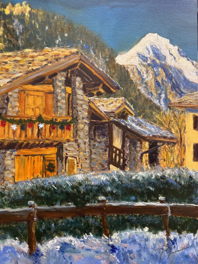
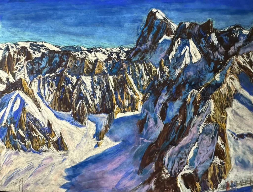
Check my Mountain Art on my Shop
You can go to my shop and see what have been inspiring me lately, lots mountain landscapes in soft pastels, and now in oils too. Go here to check my latest works!
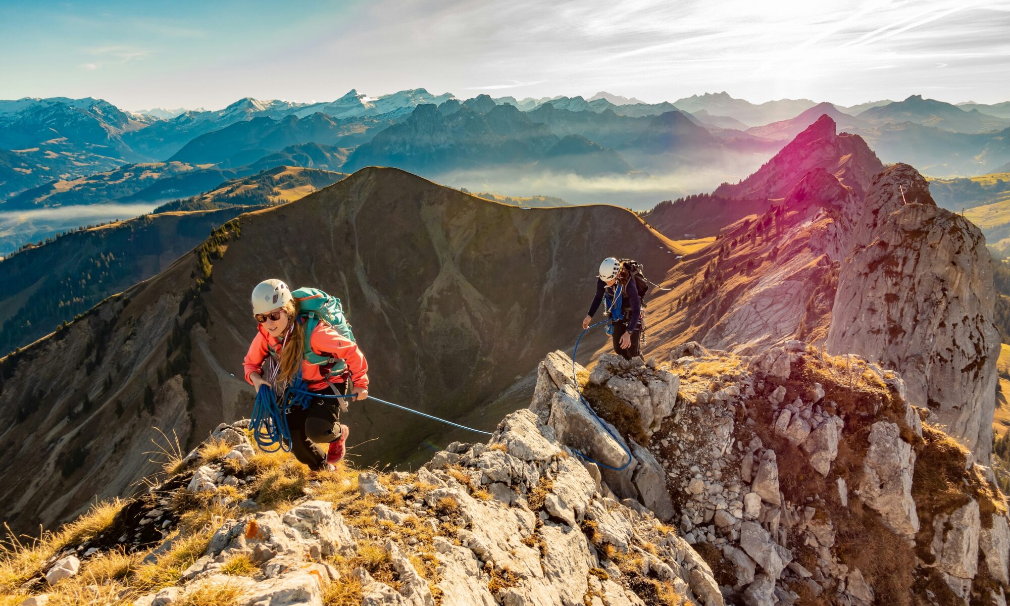
Featured Image: Mountaineering in the Swiss Alps in Gastlosen, Saanen. Photo credit: Sylvain Mauroux. Unsplash. Check mountain closures in the Alps


Discover more from The-Ski-Guru
Subscribe to get the latest posts sent to your email.
 Subscribe to The-Ski-Guru here.