

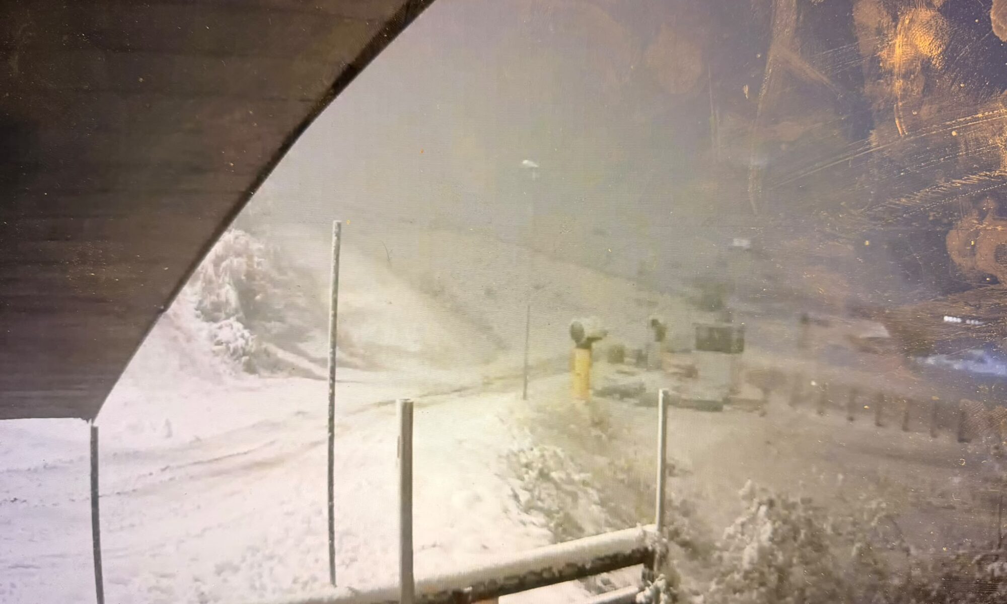
Fresh snow is returning to parts of the Alps, with southern Piemonte and the southern French Alps best placed for this week’s snowfall. Here is the latest outlook for France, Italy, Switzerland, Austria, Germany and Slovenia.
By Martina Diez-Routh | The Ski Guru
4 November 2026
Fresh snow is returning to parts of the Alps as the winter season approaches, but the latest forecasts show considerable differences across the mountain range.
The strongest snowfall signal this week is concentrated in the far southwestern Alps, particularly southern Piemonte in Italy and neighbouring parts of the southern French Alps. Farther north and east, precipitation is expected to be lighter or more intermittent.
According to Weather to Ski’s update issued on 4 November, the most favoured southwestern areas could receive 20–30cm by Friday morning, with locally more than 40cm. These are forecast accumulations, rather than measured snow depths.
Our Europe winter 2026–27 snow forecast and snowmaking report examined the seasonal outlook and how resorts are preparing their snowmaking systems. This update turns to the shorter-range forecast: where snow is expected this week, at what altitude and how conditions could change afterwards.
An early November snowfall can occur within a season that ultimately averages warmer than normal. Seasonal outlooks describe conditions over several months; individual weather systems determine when and where snow actually falls.
Southern Piemonte and the French border mountains lead the snowfall forecast
The weather pattern on 4 November places the Alps between higher pressure to the north and lower pressure over the Mediterranean.
While much of the range remains relatively dry, a disturbance near the southwestern Alps is bringing snow to parts of southern Piemonte and the southern French Alps, with snow levels around 1,300–1,800 metres, depending on location.
Weather to Ski identifies the mountains around Prato Nevoso and Limone Piemonte, together with French resorts close to the Italian border such as Isola 2000, as the main areas to watch through Friday.
The report forecasts 20–30cm in the most favoured areas by Friday morning, with locally higher totals exceeding 40cm.
However, it also notes that these particular areas do not yet have skiing open and are unlikely to do so before the end of November. Fresh snowfall here is therefore a development for the coming season, rather than an immediate expansion of available skiing.
Northern French Alps: smaller amounts, with more showers on Friday
The northern French Alps have a more modest snowfall forecast.
The Météo-Alpes bulletin issued on 3 November predicts small falls along the Italian border and near the Hautes-Alpes on Wednesday 4 November, above approximately 1,800–2,000 metres. The highest summits in those affected sectors could receive around 5–10cm by the evening.
Thursday should remain mostly dry and bright across much of Savoie, Haute-Savoie and Isère, although border areas could retain cloud and a few morning snowflakes. Precipitation is expected to reach the Dauphiné during the evening, with snow around 2,100 metres.
A more widespread round of showers is forecast for Friday 6 November, with the snowline lowering from around 2,100 metres to 1,700 metres. The bulletin suggests 5–10cm above 2,400 metres during the day.
These figures apply to different forecast periods and locations and should not be added together as a single regional total.
Chamonix: limited precipitation before a possible milder spell
The local Chamonix-Météo bulletin published on 4 November also presents a restrained outlook.
It expects precipitation to begin early on Friday, initially weak and scattered, with a provisional estimate of 4–8mm of water equivalent in the valley over 48 hours. That is a precipitation estimate, not a forecast of 4–8cm of snow.
The bulletin also anticipates milder conditions from Monday 9 November, potentially raising the rain–snow boundary from around 1,800 metres to 2,500 metres.
Snow arriving this week may therefore experience very different conditions depending on altitude.
Switzerland: precipitation could spread east before Saturday
Switzerland could receive precipitation as the disturbance moves farther across the western Alps.
The GeoSphere Austria forecast published through the German Alpine Club, updated on 4 November, expects precipitation during Friday night into Saturday particularly along the Alpine belt stretching from the Dauphiné to the Graubünden Alps.
Conditions should then gradually improve on Saturday, with sunny intervals becoming more widespread. The freezing level is forecast around, or slightly above, 2,000 metres.
This supports the possibility of fresh snow at higher elevations, but does not establish a uniform snowfall total across Swiss resorts.
The freezing level should also be distinguished from the snowline: the altitude where temperatures reach 0°C is not necessarily the lowest elevation at which snow can fall.
Austria and the Bavarian Alps: a weaker snowfall signal
The eastern Alps are less favoured by this particular episode.
GeoSphere Austria’s eastern Alpine outlook for Saturday 7 November describes cloud spreading eastwards, with a little precipitation mainly from the Zillertal westwards.
Snow could fall to around 1,800 metres, although the forecast explicitly indicates that amounts should be small.
Farther east, conditions are expected to remain brighter, with sunshine and occasional cloud over the summits.
The broader outlook then turns more unsettled at the beginning of the following week, especially on the northern side of the Alps. That developing pattern will need reassessment before meaningful resort snowfall totals can be given.
Slovenia: light snow, followed by some improvement
At the southeastern end of the Alpine range, the ARSO mountain forecast issued at 9am on 4 November, reproduced by Hribi.net, describes cloudy and foggy conditions with occasional drizzle or light snow.
Temperatures were forecast around −1°C at 1,500 metres and −3°C at 2,500 metres.
For Thursday, the forecast indicates improving conditions, particularly in the high mountains, with temperatures rising to around +1°C at both elevations.
This points to a limited episode rather than a major snowfall event in the Slovenian Alps. Updated bulletins are available through the official ARSO mountain weather service.
What happens after the weekend?
The next change to watch is the transition towards more unsettled weather around 9–10 November.
GeoSphere Austria’s western and eastern Alpine outlooks both suggest increasing cloud, westerly winds and further precipitation, particularly in northern sectors.
However, unsettled weather does not automatically mean snow down to resort level. The local Chamonix forecast’s possible rise in the rain–snow boundary illustrates why temperature and altitude will be just as important as precipitation totals.
Claims about widespread snow later in November, or exceptional cold in December and January, should be treated separately from this week’s forecast. The bulletins used for this update do not establish those outcomes.
What does this mean for the start of the ski season?
The immediate picture is most encouraging for the southwestern Alps, where the largest accumulations are forecast.
Elsewhere, smaller falls could refresh the high mountains, but the available forecasts do not yet describe a substantial, lasting snow base across the whole Alpine range.
As we explored in how much snow a mountain needs to open its pistes, fresh snowfall is only part of the opening picture.
For anyone planning an early ski trip, the useful checks remain specific: which lifts and pistes are confirmed to open, at what altitude, and under what operating conditions.
This week’s snowfall is a development worth following. Its contribution to the ski season will become clearer once the snow has fallen and resorts have assessed conditions.
Read More
- Europe winter 2026–27 snow forecast: official outlooks and advances in snowmaking
- How much snow does a mountain need to open its pistes?
- How fast can ski resorts make snow?
- Snow-sure ski resorts: how much truth is there?
- Chamonix, La Flégère and snowmaking in a changing climate
Sources
- Weather to Ski — Alpine weather and snow update: report published at 10:40am on 4 November 2026.
- Météo-Alpes — Savoie, Haute-Savoie and Isère forecast: bulletin dated 3 November, covering 4–6 November.
- Chamonix-Météo — Mont Blanc and Chamonix Valley forecast: bulletin published at 10:10am on 4 November.
- German Alpine Club / GeoSphere Austria — Swiss Alpine regional forecast: updated 4 November.
- German Alpine Club / GeoSphere Austria — Eastern Alpine forecast: updated 4 November.
- Hribi.net — ARSO mountain forecast: ARSO bulletin issued at 9am on 4 November.
- ARSO — official Slovenian mountain weather portal: official source for subsequent updates.
Forecast information checked on 4 November 2026. Snowfall amounts, snowlines and timings may change. Linked weather pages update regularly and may subsequently display newer forecasts.
Planning your next trip to the Italian Alps?
If you’re heading to the Aosta Valley, take a look at Il Cuore della Valdigne, our family-owned apartment in Morgex, available for rent when we’re not using it ourselves.
It’s an ideal base to:
- Ski in Courmayeur, La Thuile and Pila
- Enjoy the mountains in summer (hiking, biking, nature)
- Explore the Mont Blanc valley in a quieter, more authentic setting.
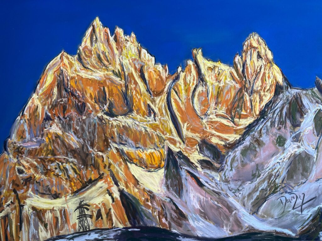
Check my Mountain Art on my Shop
You can go to my shop and see what have been inspiring me lately, lots mountain landscapes in soft pastels, and now in oils too. Go here to check my latest works!

Featured Image: Prato Nevoso on 4th November 2026 in the evening with its new snow. Photo: webcam Skyline webcams.


Discover more from The-Ski-Guru
Subscribe to get the latest posts sent to your email.
 Subscribe to The-Ski-Guru here.
You must be logged in to post a comment.