

Published 18 November 2026 | Forecast for 19–22 November
Fresh snow is forecast across parts of the Alps ahead of the weekend of 21–22 November, with Tignes and Val Thorensdue to start their ski seasons on Saturday. In the northern French Alps, snow should reach progressively lower elevations as colder air arrives. The Pyrenees tell a more mixed story. In Andorra, the snow line is forecast to fall sharply overnight into Thursday, while in Aragón it could climb back towards 2,800 m during Saturday’s precipitation.
For skiers, the timing matters as much as the temperature. The freezing level is the altitude at which the air reaches 0°C. The snow line is the altitude at which precipitation falls mainly as snow, and it often sits several hundred metres below the freezing level. A lower snow line while a front is still coming through can bring snow to mid-mountain runs. If the colder air arrives after the precipitation eases, most of the fresh snow will already have fallen higher up.
French Alps | A falling snow line ahead of the Tignes and Val Thorens openings
Météo-France puts the snow line at around 2,000 m on Wednesday, falling towards 1,700 m on Thursday 19 Novemberand possibly 1,500 m by Thursday evening. The heaviest snowfall is expected at higher elevations, especially in the northern French Alps. GeoSphere Austria’s Alpine forecast puts the snow line at 1,200–1,400 m on Friday in the western Alpine sectors seeing further snowfall.
Saturday looks like the better weather window in the northern French Alps, with a break between systems. Another Atlantic disturbance is expected on Sunday, bringing back precipitation and gusty winds.
- Tignes plans to open progressively from Saturday 21 November, including the Grande Motte glacier.
- Val Thorens has confirmed its La Grande Première opening weekend on 21–22 November. The wider Les 3 Vallées area is scheduled to open on 5 December.
Check the resort’s live lift and piste report before setting off. Opening-day terrain will depend on what the resort can prepare and operate.
Italian Alps | The freezing level drops in Aosta, then rebounds
In the Aosta Valley, Wednesday’s regional bulletin put the snow line at about 1,800 m, briefly lower, with the strongest precipitation near the western border. On Friday 20 November, the region forecasts snow from 1,400–1,500 m, mainly in the north-west, with a freezing level of 1,700–2,000 m. On Saturday, residual precipitation should ease early and the freezing level is forecast to rise from around 1,800 m to 2,500 m.
In Piedmont, Wednesday’s ARPA bulletin showed how much the snow line could vary across nearby valleys, with 2,000–2,100 m in the Val Sesia sector and 2,000–2,300 m in the Orco, Lanzo and lower Susa valleys.
Further east, ARPAV forecasts that Thursday’s snow line could briefly reach 1,400–1,600 m in some valleys of the Veneto Dolomites, with mostly light, scattered precipitation. The midday freezing level is forecast at around 2,000 m on Thursday, compared with 2,500 m on Wednesday. Saturday looks mostly clear, with a freezing level of around 2,100 m at midday.
Switzerland and Liechtenstein | Snow reaches lower elevations as showers ease
In the western Swiss Alps and along the Swiss main Alpine ridge, the regional Alpine forecast points to further snowfall on Friday, with a snow line of 1,200–1,400 m in the affected sectors. By Saturday, it could be down to 1,000–1,300 m in the remaining northern Alpine showers, which are expected to clear towards eastern Switzerland by midday. The forecast is drier for much of Ticino away from the main ridge.
In Liechtenstein, the local forecast published by the Malbun lift company puts Saturday’s temperatures at around 0–1°C, with precipitation likely. At temperatures close to freezing, conditions can differ between the village and the slopes above it.
Austria, Germany and Slovenia | A colder Saturday for the northern Alps
On the northern side of the Austrian Alps, GeoSphere Austria’s forecast has the snow line falling to 900–1,300 m on Saturday, with an Eastern Alps freezing-level range of 1,200–2,200 m. The Arlberg is among the areas expected to catch the most snow, especially on slopes exposed to the north-west. Strong winds and poor visibility are also in the forecast on the northern side of the range.
In the Bavarian Alps, Germany’s DWD forecast takes the snow line from around 1,500 m on Friday towards 1,000 m on Saturday, with precipitation gradually easing from the north during the afternoon.
In Slovenia, ARSO expects Thursday’s snow line to sit mostly at 1,400–1,800 m. Heavier precipitation could briefly bring it down to around 1,100 m in the Upper Sava Valley area. That local dip is tied to Thursday’s heavier showers.
The Pyrenees | A sharp drop in Andorra and a Saturday rise in Aragón
Andorra. The national weather service expects the snow line to be above 2,500 m on Wednesday evening, then drop to around 1,700 m on Thursday morning as colder air arrives. Clearer weather is forecast for Friday. Grandvalira lists 4 December as its scheduled winter opening.
Spanish Pyrenees. In Aragón, AEMET forecasts a snow line rising from about 1,900 m to 2,600–2,800 m on Saturday, with precipitation more frequent in the western massifs. In the Catalan Pyrenees, the snow line could come down to around 2,400–2,500 m late on Saturday, with light precipitation more likely in the west. Even on the same day, the two parts of the range show different trends.
French Pyrenees. Météo-France provides separate mountain forecasts for points such as Cauterets at 2,415 m and Ax-les-Thermes at 2,400 m. A single weekend snow line for the French side was unavailable in the bulletin consulted. For a specific resort, check the forecast at the altitude you plan to ski.
Read More
- The Pila–Cogne Cable Car Project in the Aosta Valley
- Where to Cross-Country Ski in the Aosta Valley
- Cortina d’Ampezzo – a Year Round Guide to the Town and its Mountains.
- How often can ski resorts build their base when nature does not help?
Sources
- France · Météo-France weather bulletin, 18 November · How the rain–snow line works · French Pyrenees mountain forecasts. Météo-France
- Alpine regional outlook · GeoSphere Austria mountain forecast for the Austrian Alpine Club, 18 November · DWD southern Bavaria forecast, 18 November · ARSO mountain forecast · Bergbahnen Malbun local forecast. alpenverein.at
- Italy · Valle d’Aosta regional weather bulletin · ARPA Piemonte regional bulletin · ARPAV Dolomiti Meteo. cf.regione.vda.it
- Spain and Andorra · AEMET Aragón Pyrenees forecast · AEMET Catalan Pyrenees forecast · Andorra’s national weather service. www.aemet.es
- Resort opening dates · Tignes · Val Thorens and Les 3 Vallées · Grandvalira. www.tignes.net
Planning your next trip to the Italian Alps?
If you’re heading to the Aosta Valley, take a look at Il Cuore della Valdigne, our family-owned apartment in Morgex, available for rent when we’re not using it ourselves.
It’s an ideal base to:
- Ski in Courmayeur, La Thuile and Pila
- Enjoy the mountains in summer (hiking, biking, nature)
- Explore the Mont Blanc valley in a quieter, more authentic setting.
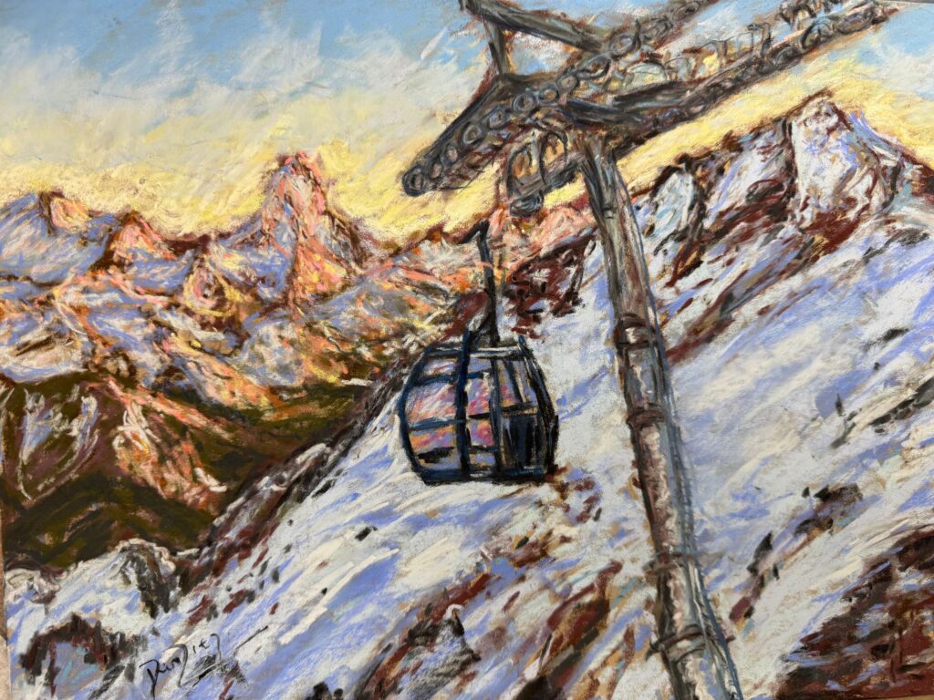
Check my Mountain Art on my Shop
You can go to my shop and see what have been inspiring me lately, lots mountain landscapes in soft pastels, and now in oils too. Go here to check my latest works!
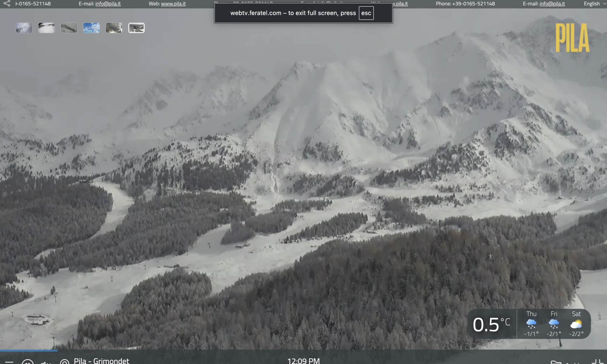
Featured Image: This morning snow in Pila. Photo credit: Pila.it webcam 18th November 2026


Discover more from The-Ski-Guru
Subscribe to get the latest posts sent to your email.
 Subscribe to The-Ski-Guru here.
You must be logged in to post a comment.