

In short:
Milano-Cortina 2026 is spread across multiple regions of northern Italy.
Travel between venues often involves mountain roads, winter conditions and indirect rail connections — planning ahead makes a big difference.
Milano-Cortina 2026 Olympic Winter Games will not take place in a single compact host city. Instead, competitions are spread across multiple regions of northern Italy, from Milan’s urban ice venues to alpine locations in the Dolomites and the Alps.
The same geographic reality will also shape the Milano–Cortina 2026 Paralympics infrastructure challenge, where Alpine resorts must adapt transport systems, accessibility and mountain logistics across a wide area.
For spectators, this means one thing: travel planning matters. Distances that look short on a map can take longer in winter, and transport options vary greatly depending on where you are heading.
This guide explains how to get from point A to point B, which airports make sense, when a car is useful, and what to know about winter driving and city access rules.
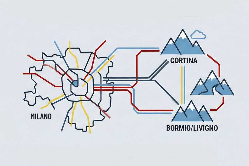
Where the Olympic Venues Are Located
The main competition clusters are:
- Milan – opening and closing ceremonies, ice hockey, figure skating and indoor events
- Cortina d’Ampezzo – alpine skiing and sliding sports
- Bormio / Livigno – alpine skiing and freestyle events
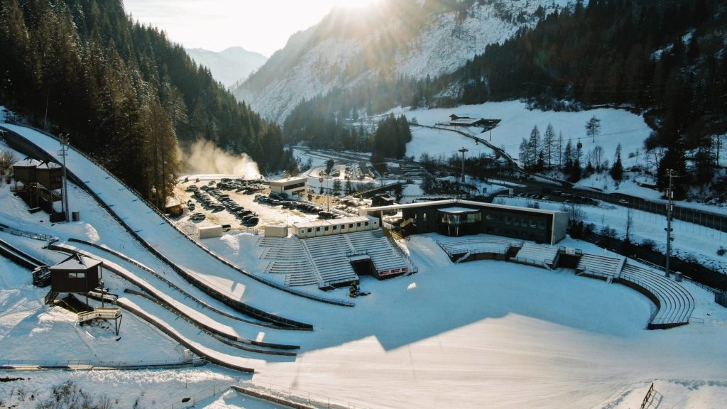
- Val di Fiemme – Nordic skiing, ski jumping and cross-country
- Anterselva / Antholz – biathlon
These locations span Lombardy, Veneto, Trentino-Alto Adige and the Dolomites, which explains why there is no single, simple transport corridor.
A Quick Reality Check on Distances in the Alps
In the mountains, distances are not travelled in straight lines. Roads follow valleys and passes, weather affects speed, and winter conditions slow everything down.
Similar questions about mobility between mountain valleys appear in tourism infrastructure debates as well. Proposals such as the Cime Bianche ski link between Cervinia and Monterosa Ski illustrate how Alpine regions are exploring new connections between major ski areas — often triggering wider discussions about environmental impact and landscape preservation.
Italy’s rail network is excellent between cities, but once you leave main urban centres, the last stretch often requires buses, transfers or a car.
Milan ↔ Cortina d’Ampezzo
Distance: approx. 400 km
Typical winter travel time: 4.5–6 hours
Train + bus
There is no direct train to Cortina. The most common routes involve:
- Milan → Verona / Vicenza / Calalzo di Cadore by train
- Regional bus to Cortina
This is perfectly feasible, but expect multiple changes and slower travel in winter.
Driving
Driving offers flexibility, but comes with caveats:
- The Autostrada del Brennero (A22) can be busy, especially around Bolzano and Brenner
- Secondary roads into Cortina are mountain roads, often winding and snowy
- In winter, winter tyres or snow chains are mandatory, and enforcement is strict
If you are not used to mountain driving, winter tyres are strongly recommended over relying on chains alone.
👉Read More: Winter Tyres & Snow Chains in Europe: Driving Rules for the Alps and Pyrenees
Milan ↔ Bormio / Livigno
Distance:
- Milan → Bormio: ~240 km
- Milan → Livigno: ~280 km
Typical winter travel time: 4–5 hours
These are true alpine destinations:
- Trains run only part of the way (typically to Tirano or Sondrio)
- The final stretch requires buses or driving on narrow valley roads
- Livigno is intentionally remote and accessed via mountain tunnels or passes
⚠️ Transport update: A recent Lecco Tirano rail sabotage incident caused minor infrastructure damage on the railway line serving Valtellina, but services continued without disruption after overnight repairs.
A car with winter tyres makes travel significantly easier, especially if attending multiple events.
Cortina d’Ampezzo ↔ Val di Fiemme
Distance: approx. 85–90 km (e.g. Cortina → Ziano di Fiemme)
Typical winter travel time: around 2–3 hours
On paper, this looks short — and under good conditions it can be. However:
- Routes cross mountain terrain
- Average speeds are low in winter
- Public transport requires multiple changes
For Nordic venues such as Predazzo, Tesero or Lago di Tesero, this journey is not ideal as a same-day return if you also want to attend events.
Which Airports Make the Most Sense?
Depending on your itinerary, these airports are the most practical:
- Verona (VRN) – excellent gateway to the Dolomites and alpine venues
- Venice (VCE) – very useful for Cortina
- Milan Malpensa (MXP) – best long-haul international connections
- Bergamo (BGY) – often cheaper rental cars and low-cost airlines
💡 Car hire tip: Rental cars from Bergamo are often cheaper than Malpensa due to higher competition and low-cost carrier traffic, though prices vary by season.
Driving Into Milan: ZTL, Area C & Olympic Restrictions
Milan already operates a Limited Traffic Zone (Area C) in the city centre, where drivers must pay or register to enter during weekday hours.
During the Olympics:
- Additional temporary Olympic traffic zones (ZTLs) will apply near venues and event areas
- Access may require specific permits at certain times
- Road closures and diversions will be common on event days
For visitors, public transport within Milan is usually the easiest option, with parking and driving best kept for travel outside the city.
Trains, Regional Transport & Event Services
Transport operators in northern Italy have already begun enhancing services for the Games:
- Trenord (Lombardy) – increased regional services around Milan
- Trenitalia – improved intercity and regional connections
- Trentino Trasporti & Südtirol/Alto Adige services – coordinated buses and local transport in mountain valleys
There is still no direct rail access to Cortina or some alpine venues, but train-plus-bus combinations will be widely used.
Where Spectators Are Likely to Stay
Because moving between venues can be slow, many visitors will choose a single base:
- Verona, Vicenza or Padua – good rail hubs
- Bolzano or Trento – well-placed for alpine valleys
- Venice / Mestre – surprisingly practical for Cortina
- Cortina d’Ampezzo – ideal if focusing on alpine events
Trying to commute daily between distant venues is likely to be tiring.
Practical Planning Tips
- Build buffer time for weather and traffic
- Choose one main cluster per trip
- Book winter car hire early and request winter tyres
- Don’t rely solely on map distances — winter conditions matter
Beyond venue distances and travel times, these logistics illustrate a broader pattern of Mountain Infrastructure Risk in the Alps and Pyrenees, where transport capacity, climate variability and corridor vulnerability increasingly shape major winter events.
Similar transport modernisation is also underway on France’s A40 route serving the Mont Blanc region, where barrier-free tolling will replace traditional booths by 2027 as part of wider Alpine corridor upgrades.
Conclusion
Milano-Cortina 2026 will be spectacular, but it rewards realistic planning. Understanding how distances, winter roads, rail connections and city access rules work in practice will help you enjoy the Games without unnecessary stress.
Read more: Transportation to the Winter Olympics.
 Planning your next trip to the Italian Alps?
 Planning your next trip to the Italian Alps?
If you’re heading to the Aosta Valley, take a look at Il Cuore della Valdigne, our family-owned apartment in Morgex, available for rent when we’re not using it ourselves.
It’s an ideal base to:
 Ski in Courmayeur,
 Enjoy the mountains in summer (hiking, biking, nature)
Check my Mountain Art on my Shop
You can go to my shop and see what have been inspiring me lately, lots mountain landscapes in soft pastels, and now in oils too. Go here to check my latest works!

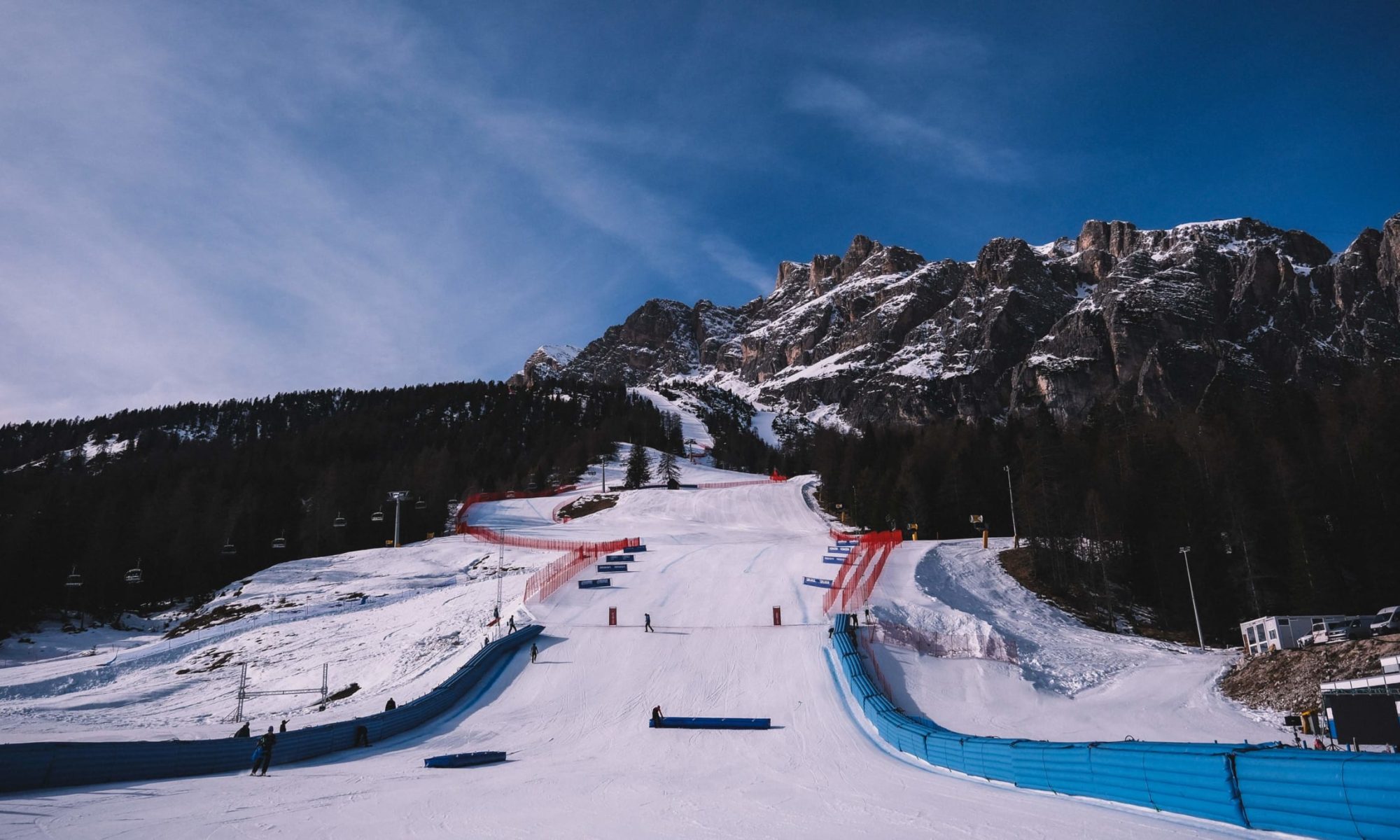
Featured Image: Cortina d’Ampezzo is ready for the Winter Olympics. Photo: Milano Cortina Winter Olympics 2026. Milano-Cortina 2026: How to Travel Between Olympic Venues (Distances, Transport & Reality Check).


Discover more from The-Ski-Guru
Subscribe to get the latest posts sent to your email.
 Subscribe to The-Ski-Guru here.
You must be logged in to post a comment.