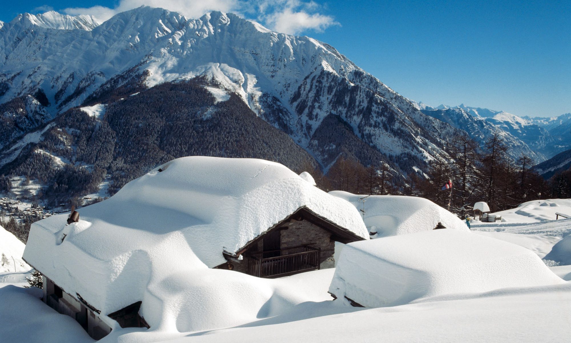


As winter transitions toward spring, avalanche conditions in the Alps often change in important ways. While mid-winter avalanches are frequently triggered by new snowfall and wind loading, late-season avalanches are more commonly linked to warming temperatures and melting snow.
These are known as wet avalanches, and they become increasingly common during late winter and spring across Alpine regions.
Understanding how and why wet avalanches form is essential for skiers, mountaineers and anyone travelling in the mountains during the warmer part of the season.
What Is a Wet Avalanche?
A wet avalanche occurs when liquid water weakens the bonds between snow grains, reducing the strength of the snowpack.
Unlike dry slab avalanches — which often break suddenly — wet avalanches typically occur when melting snow becomes heavy and unstable.
Common types include:
• Wet loose avalanches – point-release slides that start small and gather snow as they descend
• Wet slab avalanches – larger releases where a cohesive slab detaches from weaker wet layers below
• Glide avalanches – full-depth slides where the entire snowpack slowly moves over the ground
These avalanches are especially common during spring warming cycles.
The Role of Temperature
The primary driver of wet avalanches is rising temperature.
When air temperatures rise above freezing:
- Surface snow begins to melt
- Meltwater flows downward through the snowpack
- Bonds between snow crystals weaken
- Snow layers can lose structural strength
Once enough water accumulates within the snowpack, gravity can trigger movement.
This is why many wet avalanches occur later in the day, after several hours of solar heating.
Solar Radiation and Slope Aspect
Sun exposure plays a major role in spring avalanche conditions.
In the Northern Hemisphere, slopes facing:
- south
- south-east
- south-west
receive stronger solar radiation, warming the snow surface faster.
These slopes often experience earlier daily melt cycles compared with shaded north-facing terrain.
As the season progresses, however, even north-facing slopes can begin to warm during prolonged mild weather.
In the Southern Hemisphere, the pattern is reversed: slopes facing north receive the most solar radiation and therefore warm more quickly.
This means that the same snowpack processes described here can also occur in mountain regions such as the Andes of Chile and Argentina, or in the Southern Alps of New Zealand, where winter takes place during the Northern Hemisphere’s summer.
Dust on Snow Can Accelerate Melting
In some years, atmospheric events can further accelerate spring melt.
Dust transported from North Africa can settle on Alpine snow surfaces, reducing the snow’s reflectivity and allowing it to absorb more solar energy.
Recent weather patterns have brought dust from the Sahara Desert into the Alps, raising freezing levels above 3000 metres and accelerating snowpack warming.
You can read more about this phenomenon in our analysis of Saharan dust reaching the Alps as freezing levels rise above 3000 m:
https://www.the-ski-guru.com/2026/03/06/saharan-dust-alps-freezing-level-3000m/
When Wet Avalanches Are Most Likely
Wet avalanche danger typically increases during:
• rapid warming periods
• strong spring sunshine
• rain falling on snow
• dust deposition that accelerates melt
Avalanches are most common:
- during the afternoon
- on sun-exposed slopes
- during prolonged warm weather
This is why many mountaineers and ski tourers start very early in the morning during spring tours.
Wet Avalanches Can Be Powerful
Although they sometimes move more slowly than dry avalanches, wet avalanches can be extremely destructive.
Wet snow is dense and heavy, meaning these avalanches can carry significant mass and momentum.
They are capable of:
- sweeping climbers or skiers off their feet
- carrying debris long distances
- burying victims under very dense snow
Even relatively small wet avalanches can be dangerous.
A Common Pattern in Late Winter Avalanche Cycles
Many avalanche cycles in the Alps follow a similar pattern:
- Heavy snowfall creates unstable layers
- Storms pass and temperatures rise
- Warming triggers wet avalanche activity
This transition has been observed in several regions during the February 2026 avalanche cycle across the Alps:
https://www.the-ski-guru.com/2026/02/24/february-2026-avalanche-cycle-alps/
The same warming conditions can also influence other mountain hazards. For example, a recent crevasse accident on Colle Vincent in the Monte Rosa massif highlights how snow and glacier conditions can evolve during late winter:
https://www.the-ski-guru.com/2026/02/28/three-mountaineers-crevasse-colle-vincent/
Understanding how temperature and snowpack interact is therefore essential for safe travel in alpine terrain.
How Skiers Reduce Risk in Spring Conditions
During spring snow conditions, safer travel strategies include:
• starting early in the morning
• descending slopes before afternoon warming
• avoiding steep sun-exposed slopes during warm periods
• monitoring daily avalanche bulletins
Observing snow surface conditions is also important. Signs of instability may include:
- wet, heavy snow
- rollerballs or “pinwheels” forming on slopes
- small wet slides starting naturally
These signals often indicate that the snowpack is losing stability.
For a broader explanation of avalanche risk levels, see our guides to:
• Understanding Level 3 Avalanche Danger (Considerable)
https://www.the-ski-guru.com/2026/02/21/avalanche-danger-level-3/
• Understanding Level 4 Avalanche Danger (High)
https://www.the-ski-guru.com/2026/02/21/avalanche-danger-level-4/
FAQ – Wet Avalanches
What is a wet avalanche?
A wet avalanche occurs when melting snow weakens the snowpack. Water reduces the bonding between snow grains, allowing the snow to slide downhill.
Are wet avalanches common in spring?
Yes. Wet avalanches are one of the most common avalanche types during late winter and spring as temperatures rise.
When during the day do wet avalanches occur?
They often occur in the afternoon, after the snowpack has warmed for several hours.
Are wet avalanches slower than dry avalanches?
They may move more slowly, but they are much heavier, making them extremely powerful and dangerous.
Sources
• European Avalanche Warning Services – avalanche education resources
https://www.avalanches.org
• Météo-France – Bulletin Neige et Avalanche
https://meteofrance.com
• Lawinenwarndienst Tirol – snowpack analysis and avalanche bulletins
https://lawinen.report
 Planning your next trip to the Italian Alps?
 Planning your next trip to the Italian Alps?
If you’re heading to the Aosta Valley, take a look at Il Cuore della Valdigne, our family-owned apartment in Morgex, available for rent when we’re not using it ourselves.
It’s an ideal base to:
- Ski in Courmayeur, La Thuile and Pila
- Enjoy the mountains in summer (hiking, biking, nature)
- Explore the Mont Blanc valley in a quieter, more authentic setting.
 Ski in Courmayeur,
 Enjoy the mountains in summer (hiking, biking, nature)
Check my Mountain Art on my Shop
You can go to my shop and see what have been inspiring me lately, lots mountain landscapes in soft pastels, and now in oils too. Go here to check my latest works!
Featured Image: Wet avalanche on a sun-exposed Alpine slope during spring warming conditions. Wet snow avalanches occur when melting weakens the snowpack.
Photo: US Geological Survey.


Discover more from The-Ski-Guru
Subscribe to get the latest posts sent to your email.
 Subscribe to The-Ski-Guru here.