

20 October 2026
Fresh snow is forecast for parts of the Alps this week, but elevation and timing will make a considerable difference. Official forecasts for several Italian Alpine regions show snow initially confined to higher slopes, followed by falling snow levels as colder air arrives.
In some areas, the colder conditions will reach the mountains as precipitation begins to ease. That means a lower snowline will not necessarily bring substantial accumulations to lower slopes.
The Catalan Pyrenees also have snow in the forecast, with AEMET predicting a falling snowline on Wednesday.
Aosta Valley: more precipitation in the southeast
The Aosta Valley’s official regional weather service forecasts precipitation becoming more intense in the southeastern sector on Tuesday afternoon, with snow above approximately 2,600–2,700 metres.
On Wednesday, precipitation is expected to continue until around midday, again more intense in the southeast, with snow at 2,400–2,500 metres.
Conditions should then begin to improve, although cloud and light precipitation will persist along the borders. The snowline could fall to approximately 1,500 metres by Wednesday evening during this residual phase.
Northwesterly winds will strengthen at altitude, with foehn developing in the valleys during the afternoon. Thursday should be fairly sunny, although strong northwesterly winds are forecast at 3,000 metres before easing.
Piemonte: snow forecast for the Pennine and Lepontine Alps
ARPA Piemonte’s bulletin issued on Monday afternoon, and still available when checked on Tuesday morning, forecasts a marked deterioration on Tuesday, with precipitation intensifying and spreading across the region.
The northern and northwestern sectors are among the areas expected to receive the more persistent precipitation.
For Wednesday, ARPA places the snowline at approximately 2,100–2,200 metres in the Pennine and Lepontine Alps, with precipitation gradually easing from the southwest and ending across the region by evening.
The bulletin does not provide a snowfall total in centimetres.
Trentino: most snow above 2,600 metres
Meteotrentino forecasts precipitation developing on Tuesday evening and becoming more widespread and intense overnight.
Wednesday is expected to be very unsettled, with widespread precipitation, strong to very strong in the southern sectors. Forecast precipitation totals average 20–60 millimetres, with locally higher amounts.
These figures describe precipitation in water equivalent, rather than centimetres of fresh snow.
The snowline should remain mainly around 2,600–2,700 metres, falling towards 2,000 metres on Wednesday evening. Crucially, Meteotrentino expects this drop at the end of the event, with little accumulation at those lower elevations.
South Tyrol: snowline falling overnight
South Tyrol’s provincial weather service forecasts more widespread precipitation overnight into Wednesday, followed by variable conditions and showers arriving from the south.
A cold front is expected to cross the Alps during the night from Wednesday into Thursday, bringing the snowline down to approximately 1,500–1,800 metres.
On Thursday, precipitation should move away eastwards, with clearer conditions spreading in from the west. The provincial forecast does not specify fresh-snow totals in centimetres.
Switzerland: up to 70 cm locally in the Simplon region
MeteoSwiss’s forecast published on 19 October points to fresh snow at higher elevations, followed by a falling snowline as a cold front crosses Switzerland on Wednesday.
Precipitation will initially affect the southern side of the Alps on Tuesday, spreading towards the west and the main Alpine ridge later in the day. The snowline will remain around 2,600 metres during this first phase.
On Wednesday afternoon and evening, colder air will lower the snowline north of the Alps to approximately 1,500–1,800 metres, locally a few hundred metres lower in Alpine valleys.
For the period from Tuesday to Thursday morning, MeteoSwiss forecasts approximately:
5–15 cm below 2,000 metres in the areas affected by the lower snowline.
20–40 cm above 2,500 metres.
Locally up to 70 cm in the Simplon region.
Wind will also be significant. Tuesday’s southerly foehn is forecast to produce gusts of 70–90 km/h in exposed valleysand 100–120 km/h in the mountains above 1,800 metres.
Austria: a colder finish to the event
GeoSphere Austria’s mountain forecast, published through the German Alpine Club and checked on Tuesday, indicates precipitation continuing into the night before Thursday, particularly towards the eastern Alps.
Snow could temporarily fall below 1,500 metres during that overnight phase. Conditions should improve from the west on Thursday morning, with precipitation largely easing during the morning.
The forecast was issued on 19 October, so subsequent updates should be checked before mountain travel.
France: unsettled weather, without a verified snowfall total
Météo-France’s national bulletin for Tuesday describes a continuing Mediterranean rain and thunderstorm episode moving eastwards, alongside more moderate rainfall affecting parts of Rhône-Alpes.
Its warning map checked on Tuesday includes yellow rain-flooding warnings for Isère, Hautes-Alpes, Alpes-de-Haute-Provence and Alpes-Maritimes.
These warnings concern rainfall and associated hazards. They do not establish a fresh-snow total for the French Alps, so this update does not assign a centimetre figure to those areas.
Catalan Pyrenees: snow levels falling on Wednesday
The Catalan Pyrenees also have a colder spell in the forecast.
For Wednesday 21 October, AEMET expects light precipitation in the Val d’Aran, with possible showers in the Pre-Pyrenees and Ripollès, locally moderate.
The snowline is forecast to fall from approximately 2,200 to 1,800 metres. Temperatures will decrease, with frost at higher elevations and strong intervals of west to northwesterly wind on exposed terrain.
AEMET does not give a fresh-snow accumulation total in this bulletin. This forecast applies to the Catalan sector rather than the entire Pyrenean range.
What this means for the approaching ski season
Taken together, these forecasts point to an autumn snowfall episode with substantial differences between elevations and regions.
Higher terrain may receive snow while lower slopes see rain. Later, falling temperatures could bring snow further down the mountains, but the amount settling there will depend on how much precipitation remains.
Trentino’s forecast illustrates that distinction particularly clearly: the snowline drops towards 2,000 metres at the end of the event, when little accumulation is expected.
For anyone following the approach of winter, the useful details are therefore the snowline, the timing of the colder air and the precipitation remaining when it arrives. A fresh covering alone does not confirm skiable conditions or a resort opening.
Forecasts checked on the morning of 20 October 2026. Source bulletins have different issue times and are updated regularly.
Read More on The-Ski-Guru
- Aosta Valley Ski Pass Prices 2026/27: Complete Guide
- Must-Read Guide to Pila, Aosta Valley
- Aosta, Italy: Complete Guide
- Must-Read Guide to Chamonix
- Must-Read Guide to Courmayeur
- Must-Read Guide to Crans Montana
- Must-Read Guide to Zermatt
- Must-Read Guide to Lech
Official Weather Sources
- Aosta Valley — Centro Funzionale regionale
- Piemonte — ARPA weather bulletin
- Trentino — Meteotrentino official bulletin
- South Tyrol — Provincial Weather Service
- Eastern Alps — GeoSphere Austria forecast via the German Alpine Club
- France — Météo-France warnings
- Catalan Pyrenees — AEMET mountain forecast
- MeteoSwiss — From foehn to cold front: precipitation in the Alps, 19 October 2026.
Planning your next trip to the Italian Alps?
If you’re heading to the Aosta Valley, take a look at Il Cuore della Valdigne, our family-owned apartment in Morgex, available for rent when we’re not using it ourselves.
It’s an ideal base to:
- Ski in Courmayeur, La Thuile and Pila
- Enjoy the mountains in summer (hiking, biking, nature)
- Explore the Mont Blanc valley in a quieter, more authentic setting.
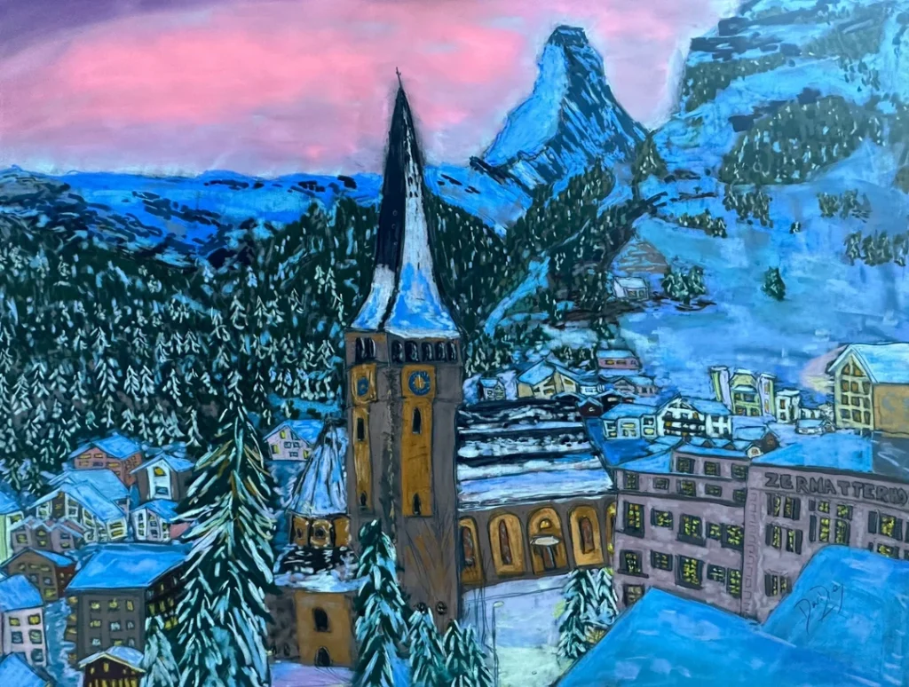
Check my Mountain Art on my Shop
You can go to my shop and see what have been inspiring me lately, lots mountain landscapes in soft pastels, and now in oils too. Go here to check my latest works!

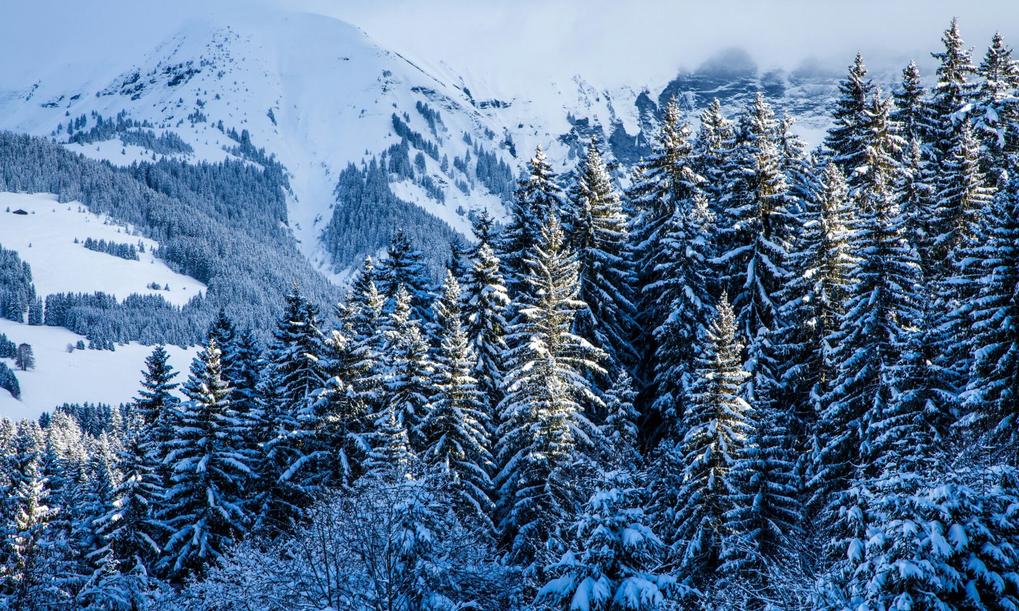
Featured Image: Snowy Megève. Photo credit: Mario la Pergola- Unsplash.


Discover more from The-Ski-Guru
Subscribe to get the latest posts sent to your email.
 Subscribe to The-Ski-Guru here.
You must be logged in to post a comment.