

The idea that winter 2025/26 was “a good snow year” in the Alps does not hold up under closer analysis. While some regions experienced notable snowfall events, particularly in December, these were highly localised and have led to a broader misperception about conditions across the entire Alpine arc.
Data and observations from Meteo Valle d’Aosta highlight the issue clearly. Heavy early-season snowfall was largely confined to the Maritime and Ligurian Alps, a relatively small portion of the range. Outside these areas, including much of the north-western Alps and Valle d’Aosta, snowfall remained closer to average or slightly below through much of the early winter.
Crucially, what followed mattered more than what fell.
By late January and into February, some recovery occurred in parts of the Alps due to north-western weather patterns. However, this redistribution of snowfall created further imbalances, favouring some regions while leaving others under-supplied. This uneven snow distribution is increasingly characteristic of recent winters, where storm tracks and temperature anomalies play a larger role than total seasonal snowfall.
The decisive shift came in March.
Above-average temperatures triggered a rapid transition towards spring conditions, accelerating snowmelt across elevations. Even when snowfall returned briefly mid-month, it proved short-lived. Snow cover disappeared quickly under sustained warmth, preventing any meaningful rebuild of the seasonal snowpack.
April reinforced this trend, marking a clear departure from historical norms.
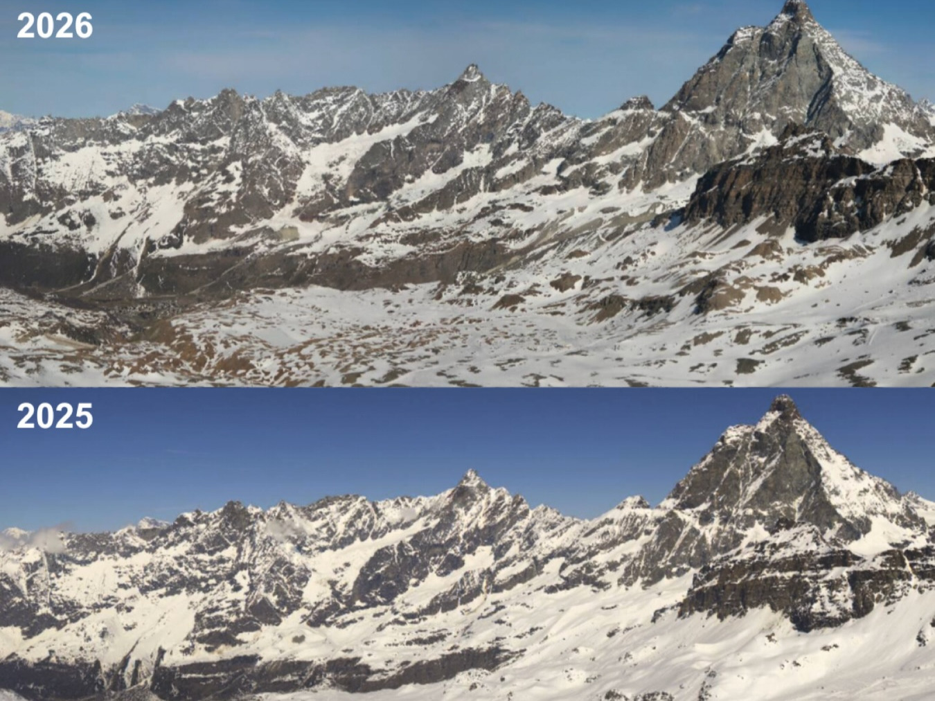
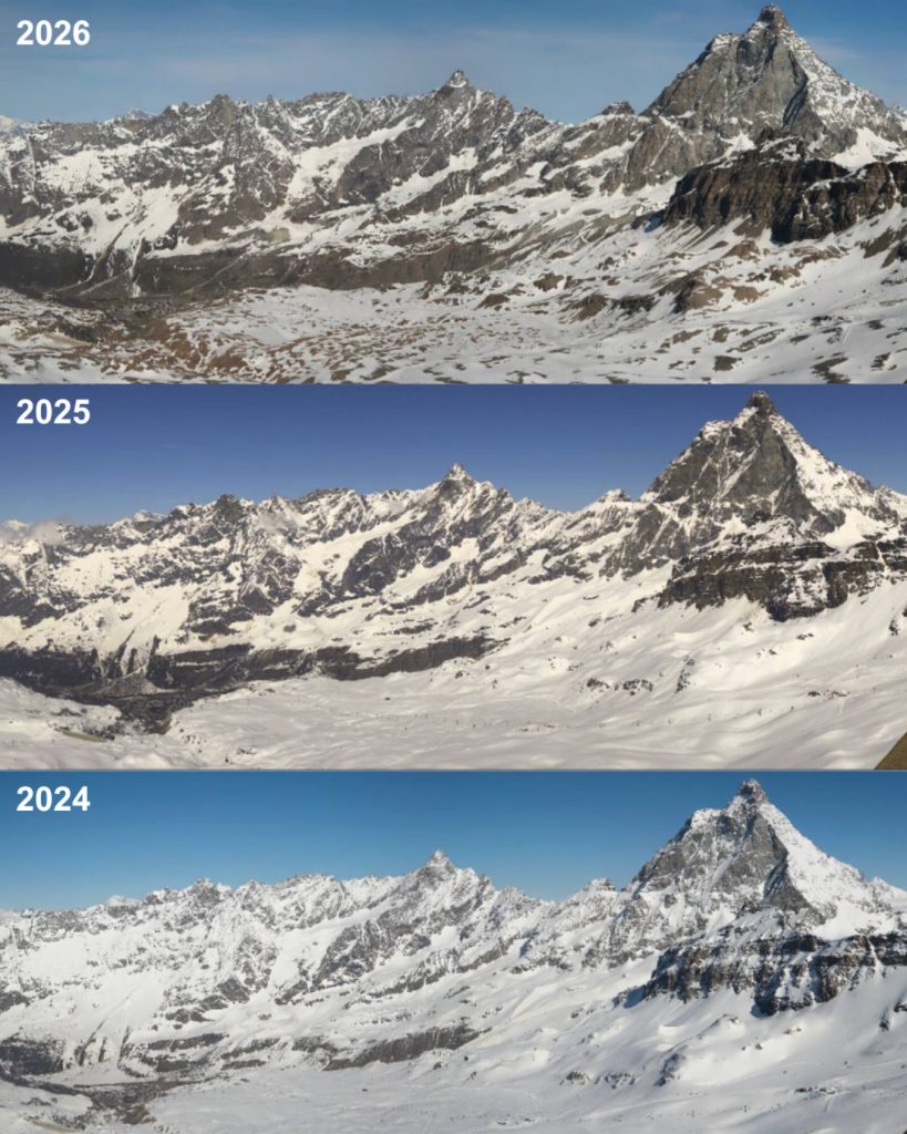
At high altitude, where snowpack stability typically persists well into late spring, the data is particularly telling. At Plateau Rosa, above Breuil-Cervinia, repeated above-freezing maximum temperatures were recorded during April, an unusual pattern for this elevation. The result has been a significantly weakened snowpack heading into the start of the melt season.
This aligns closely with what I explored in Snow Conditions in a Warming Alpine Climate, where the seasonal peak of snow is increasingly shifting earlier in the winter. February, rather than April, is now often the high point of accumulation.
The implications extend beyond skiing conditions.
Glaciers rely on a deep, persistent spring snowpack to act as a protective layer against summer melt. When that layer is thin or disappears early, ice is exposed sooner, increasing the risk of significant mass loss over the summer months. This dynamic is explored further in Why Wet Avalanches Happen in Spring in the Alps, where temperature-driven instability plays a central role.
In this context, comparisons with 2022 are already emerging.
The summer of 2022 became one of the worst glacier loss years on record across the Alps, driven by a combination of low snow cover, early exposure of ice, and prolonged heat. While it is far too early to determine how 2026 will evolve, the starting conditions show concerning similarities. Snow cover is limited for the time of year, and temperature trends are running ahead of seasonal norms.
What happens next will depend on summer weather.
A cooler, more unsettled summer could still mitigate some of the impact. However, if persistent high-pressure systems and above-average temperatures dominate, the current deficit in protective snow cover could translate into accelerated glacier retreat across multiple regions.
The broader takeaway is clear.
Winter 2025/26 was not defined by abundant snow across the Alps, but by variability, imbalance, and early melt. The perception of a “good snow year” is rooted in isolated events rather than the overall seasonal reality.
As the Alps move into the critical summer period, the real story is no longer how much snow fell, but how little of it remains.
Sources
Meteo Valle d’Aosta – https://www.facebook.com/meteovalledaosta
AINEVA (Associazione Interregionale Neve e Valanghe) – https://www.aineva.it
MeteoSwiss – Snow and climate trends in the Alps – https://www.meteoswiss.admin.ch/weather/weather-and-climate-from-a-to-z/snow/snow-and-winter-becoming-warmer.html
Météo-France – https://meteofrance.com
ARPA Piemonte – https://www.arpa.piemonte.it
SLF Davos (WSL Institute for Snow and Avalanche Research) – https://www.slf.ch
Copernicus Climate Change Service – https://climate.copernicus.eu
 Planning your next trip to the Italian Alps?
 Planning your next trip to the Italian Alps?
If you’re heading to the Aosta Valley, take a look at Il Cuore della Valdigne, our family-owned apartment in Morgex, available for rent when we’re not using it ourselves.
It’s an ideal base to:
 Ski in Courmayeur,
 Enjoy the mountains in summer (hiking, biking, nature)
Check my Mountain Art on my Shop
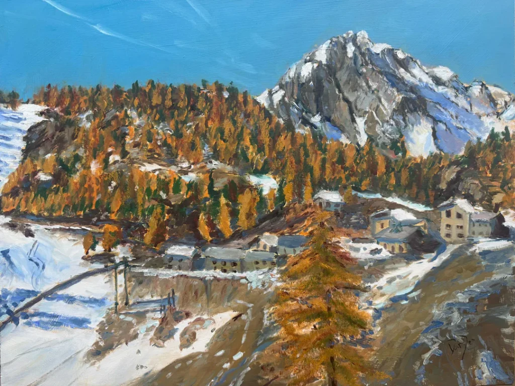
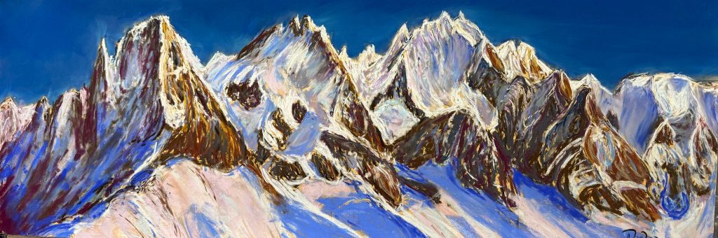
You can go to my shop and see what have been inspiring me lately, lots mountain landscapes in soft pastels, and now in oils too. Go here to check my latest works!
Featured Image: Snow comparisons Plateau Rosa 2025-26. Photo: Meteo Valle d’Aosta.


Discover more from The-Ski-Guru
Subscribe to get the latest posts sent to your email.
 Subscribe to The-Ski-Guru here.
You must be logged in to post a comment.